Download
1 / 17
170 likes | 294 Views
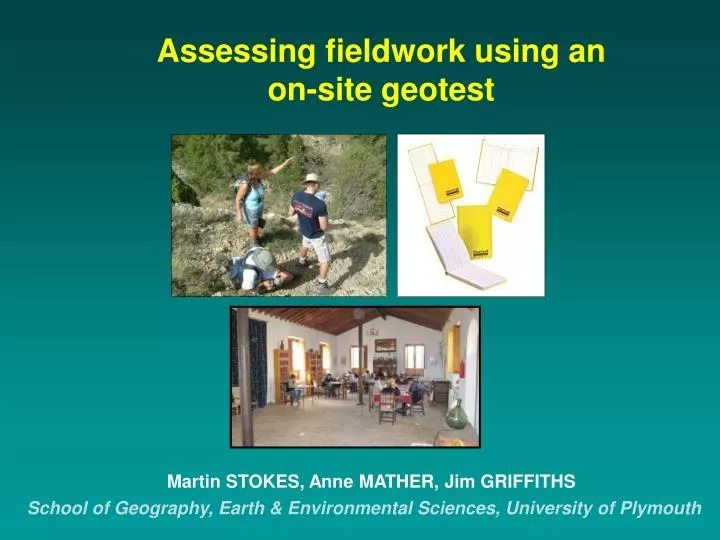
Assessing fieldwork using an on-site geotest. Martin STOKES, Anne MATHER, Jim GRIFFITHS. School of Geography, Earth & Environmental Sciences, University of Plymouth. Talk Outline. The field notebook & how important it is for assessment The Plymouth SE Spain field trip A good notebook

E N D
Assessing fieldwork using an on-site geotest Martin STOKES, Anne MATHER, Jim GRIFFITHS School of Geography, Earth & Environmental Sciences, University of Plymouth
Talk Outline • The field notebook & how important it is for assessment • The Plymouth SE Spain field trip • A good notebook • The geotest: good/weak examples • Reflection • Scientific evaluation
FieldNotebooks • A ‘tool’ of the trade for recording field data! • A notebook should be: • neat • well organised • give your location • contain factual notes • with ‘accurate’ descriptions • include feature descriptions of: • shape, size, orientation
The Fieldtrip Stage 3 BSc Physical Geography and Geology • <35 students • @ Urra field centre since 1995 • on-site geotest since 1999
Pre-trip lectures • February (Term 2) • Geology • Geomorphology • Engineering • Logistics & assessment • ~10 day fieldtrip • End March-April (Term 2)
Quaternary raised beaches, Macenas (Vera) Submarine fan feeder channel (Tabernas) Aguas-Feos river capture (Sorbas)
Introductory Field Days:Building Confidence and Skills A little lecturing Lot’s of hands-on data collection and synthesis / evaluation
The Geotest 1 hour: answer 2 questions
Examples of good geotest answers 2. Describe the different types of karst and pseudokarst developed in the Almeria province and the engineering implications.
6. Using evidence from the Tortonian and Serravallian sediments of the Tabernas Basin, reconstruct the palaeogeography for this period.
Example of a ‘weak’ geotest answer 1. Use field examples to explain what you consider to be key controls on landscape development in the Sorbas Basin.
Strengths Focuses students on field tasks & observations Tests: Knowledge & understanding Analysis, synthesis & evaluation Information organisation & retrieval Quick return of overall module grade Weaknesses Unfamiliarity with assessment format Intensive learning environment Stress / pressure Test accommodation On-site geotest: reflections
Future Work? • Scientific evaluation? • field notebook / geotest answer comparisons • Qualitative / quantitative pedagogic research?
Thank you March 2010