Download
1 / 18
180 likes | 462 Views
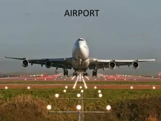
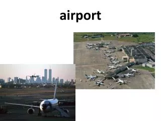
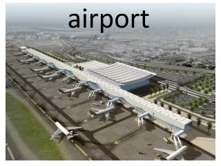
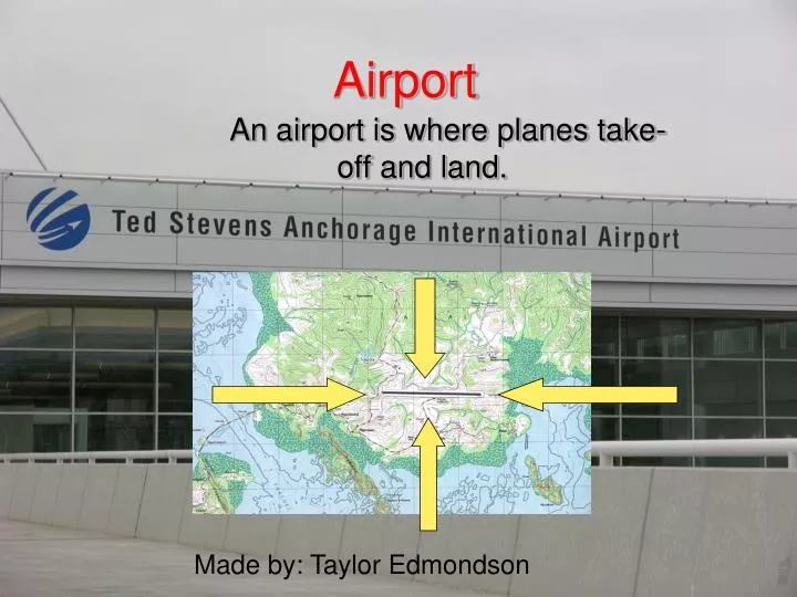
Airport. An airport is where planes take- off and land. Made by: Taylor Edmondson. Marsh. A marsh is a part of land that is always waterlogged. It is low-lying land, usually flooded in a wet season. Coral Isaacs. Contour Index Lines.

E N D
Airport An airport is where planes take- off and land. Made by: Taylor Edmondson
Marsh • A marsh is a part of land that is always waterlogged. It is low-lying land, usually flooded in a wet season. Coral Isaacs
Contour Index Lines Contour index lines are generally represented by thicker looking contour lines. Index contour lines provide the elevation and if enough are presented, contour index lines can be used to determine the contour interval of a topographic map. C is an Index Contour Line Made By: Kari Jahnsen Period One
Cliffs A significant vertical or near vertical rock exposure. Cliffs are produced my erosion and weathering. By David Morris
Rivers • A river is a natural watercourse that is usually freshwater. It flows to another water source. Caitlin Sweeney
Peaks • The pointed top of a mountain or ridge
Contour Interval The change in elevation between contour lines on a map. Edouardo Seryozhenkov
Depressions When the land is below sea level by: Ellie Obrochta
Gentle Slope When the altitude of a land formation has a slow elevation change, it has a gentle slope. Becca Padrick A gentle slope. Notice how the lines are far apart.
Mine Dump A mine dump is a big hole in the ground where the waste from a mine is dumped. An example is a slag dump, a by product from a mine (slag) is dumped into a big hole.
GlacierBy: Nathan Lai A glacier is a landform which is a large persistent body of ice.
Picnics and Campgrounds Places, such as some parks, reserved for camping and picnics. They are usually shown on a topographical map by a tent or picnic table. By:Hannah Mitchell
Marsh • A marsh is a part of land that is always waterlogged. It is low-lying land, usually flooded in a wet season.
Railroad Railroads are the means of transportation by train. By Katia Ekstrand
Steep Slope A steep slope is where the lines on a topography map are close together.
Plateau A plateau is a landform that has a high relief, and is flat on the top.
Trails A path, track or route used to get somewhere, normally in a remote area. On a topographic map it will be shown as a dashed line. Trail By: Megan
Waterfalls and Rapids A Waterfall is a steep drop of water on a river. A rapid is a place where the water in the river goes over a bump in the river bed By:Amber Schoff