Download
1 / 27
270 likes | 366 Views
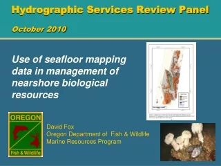
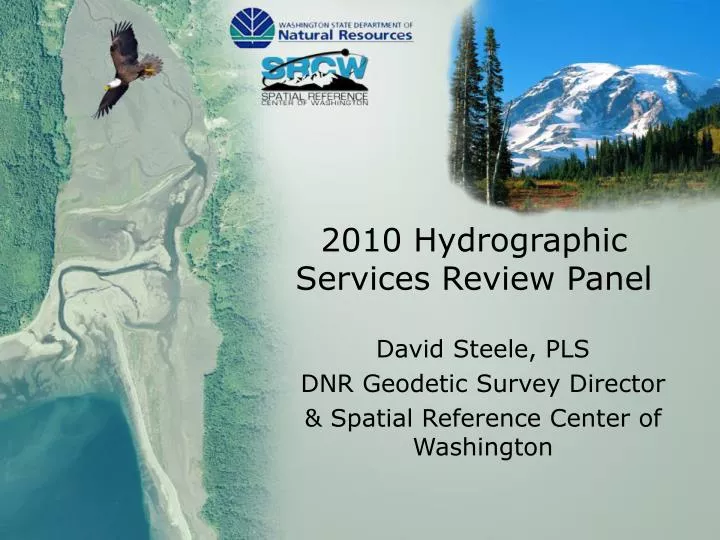
2010 Hydrographic Services Review Panel. David Steele, PLS DNR Geodetic Survey Director & Spatial Reference Center of Washington. Height Modernization in Washington State. Background and organization Activities in Washington. The SRCW.

E N D
2010 Hydrographic Services Review Panel David Steele, PLS DNR Geodetic Survey Director & Spatial Reference Center of Washington
Height Modernization in Washington State • Background and organization • Activities in Washington
The SRCW • The Spatial Reference Center of Washington (SRCW), a nonprofit organization, was organized in 2004 to oversee the funding, development and implementation of geodetic network modernization.
Program Management The Washington Department of Natural Resources’, Geodetic Survey Program was chosen to manage the program and collaborates with the SRCW while managing height modernization. NGS grants have been received in FY 2004, 2005, 2007, 2008 and 2009.
Height Modernization Activities • Develop a GPS, Active Control Network • Inventory existing geodetic control monuments • Develop a Primary Base Station Network • Run differential leveling projects to replace lost monuments and establish heights on new monuments and GPS stations • Assist the NGS GRAV-D project
The Washington State Reference Network • Quick Stats • 89 of 102 Stations Completed • 600+ Active Accounts • 114,280 Minutes Avg. Monthly Fixed Solutions • NAD83 (CORS 96) Epoch 2002.00 • Cooperative – Public/Private • 70+ Infrastructure Partners • 80 Non-Infrastructure (Subscriptions) • 42 Academic accounts • 35 Trainer / Dealer accounts
The WSRN • Business Model • Infrastructure – Partner Funded and Operated • Central Processing Center – Seattle Public Utilities Funded and Operated at http://www.wsrn.org • Mirror Processing Center – Central Washington University Funded and Operated at http://www.geodesy.cwu.edu/
The WSRN • Business Model • Operations cost offset by subscriber contributions • Single Accounts - $1,900 Annual • Five Accounts - $5,700 Annual • Ten Accounts - $10,000 Annual • Academic and Trainer/Dealer – No Fee
WSRN Regional Integration WsDOT Mount – Walla Walla This mount will be there for a few years KOOT - Kootenai County Airport
Primary Base Station Network DNR - SRCW
Primary Base Station Network • The existing High Accuracy Reference Network (HARN) did not routinely include precise ground (orthometric) elevations. • This degrades the geoid model quality, especially in areas of significant crustal motion. • ‘A’ Order horizontal and precise ellipsoid height measurement will include 1st order orthometric elevations with optimal spacing of 30 km across the entire state.
Primary Base Station Network • Horizontal positions and ellipsoid heights will be measured on 60 existing 1st and 2nd order benchmarks and tied into 45 existing HARN stations, in addition to Federal CORS, WSRN, and PBO stations. Cost is approximately $8,000 per mark. • Great care is being taken to fine tune the WSRN and all of the ground monuments on their separate datum and all will be included in the National Spatial Reference System.
Primary Base Station Network • An improved geoid model from this data will allow GPS measurements to be made with relative accuracies less than 20 mm vertically and 5 mm horizontally.
Measurement Comparisonpublished vertical to adjusted orthometric heights Station BM Quality Δ Pub to Measured N69 2nd Order 0.071 m F509 1st Order 0.049 m Z271 2nd Order 0.163 m B143 1st Order 0.111 m F30 1st Order -0.081 m N283 1st Order -0.090 m
Differential Leveling • Contract Leveling • Olympia tidal gauge leveling project • Skamania WSRN station • Spokane WSRN station • Latah WSRN station • Sprague WSRN station
Differential Leveling • Cooperative Leveling • Regional leveling in Tacoma (Pierce County) • Grand Mound WSRN station (WsDOT) • Raymond PBO station (WsDOT) • Chimacum WSRN station (WsDOT) • Darrington WSRN station (WsDOT) • Tumwater Hill PBO station (WsDOT) • North Seattle WSRN station (WsDOT) • Lake Cushman WSRN station (WsDOT)
Support of GRAV-D • NGS has pointed a way to the future elevation datum; a gravity based elevation datum. • The GRAV-D program can be aided by local cooperation and Washington has requested permission to measure a network of absolute gravity stations that are spaced approximately 100 km.
Support of GRAV-D Absolute Gravity Station Network
Contacts Washington State Dept. of Natural Resources Geodetic Survey David Steele, Director PO Box 47030 Olympia, WA 98504-7030 360-902-1171 David.Steele@dnr.wa.gov The Spatial Reference Center of Washington http://www.washington3d.org/ Washington State Reference Network http://www.wsrn.org/