Download
1 / 16
160 likes | 163 Views
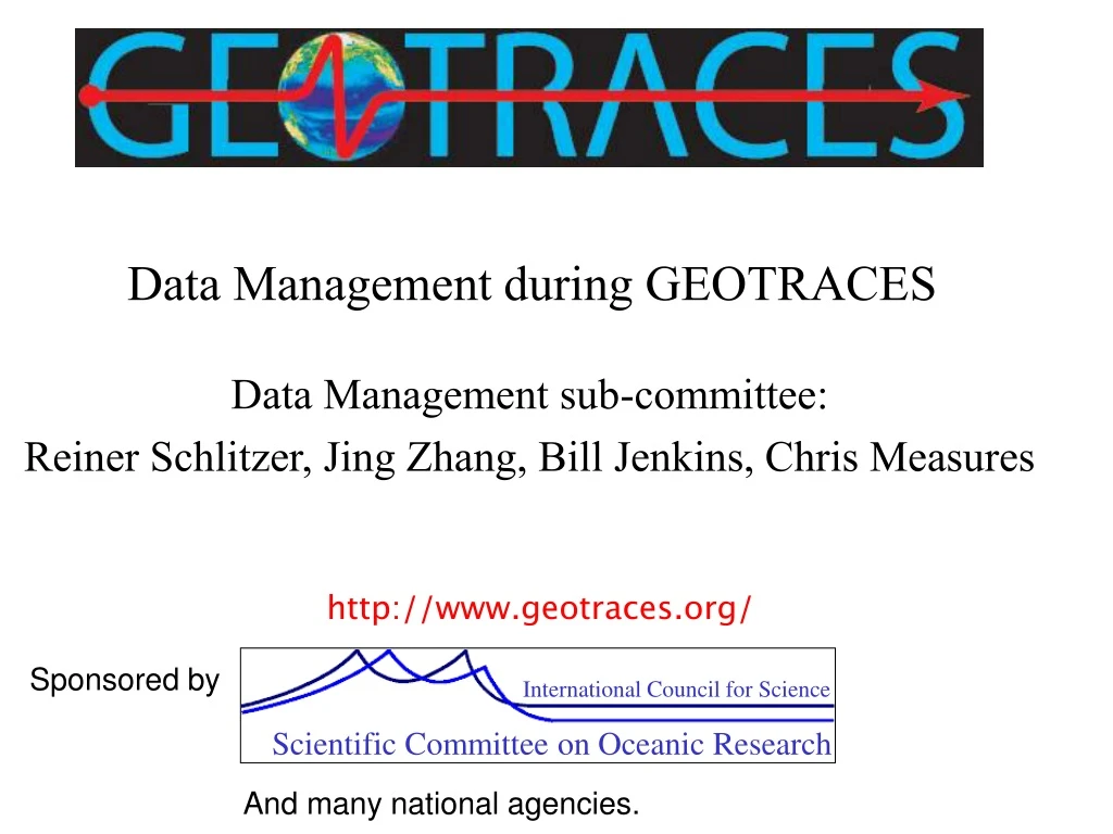
International Council for Science. Scientific Committee on Oceanic Research. Data Management during GEOTRACES. Data Management sub-committee: Reiner Schlitzer, Jing Zhang, Bill Jenkins, Chris Measures. http://www.geotraces.org/. Sponsored by. And many national agencies.

E N D
International Council for Science Scientific Committee on Oceanic Research Data Management during GEOTRACES Data Management sub-committee: Reiner Schlitzer, Jing Zhang, Bill Jenkins, Chris Measures http://www.geotraces.org/ Sponsored by And many national agencies.
Data policies for GEOTRACES Largely recommendations from a meeting held at: British Ocean Data Facility, Liverpool, UK, 30th November- 2nd December, 2005 Raymond Pollard, Reiner Schlitzer, Jing Zhang, Ed Urban, Chris Measures Representatives from data management facilities BODC, PROOF, CCHDO, LDEO and the CIESEN
Objectives of Data Management in GEOTRACES Establish data standards for reporting and archiving the products of GEOTRACES cruises Establish timescales for data submission and release Establish a mechanism for the validation and quality control of data Ensure that all GEOTRACES data are made available to the entire geochemical and modelling community in a timely manner Ensure the compilation and archiving of full international GEOTRACES data set by providing access to effective data management infrastructure for participating countries without national infrastructure Do not reinvent the wheel!
Expected Data Types Ocean sections Routine hydrography data, T,S, nutrients, oxygen, etc. Bottle parameters, TM rosette and regular rosette Much experience of handling these data types In particular, the CLIVAR and Carbon Hydrographic Data Office (CCHDO) at the Scripps Institution of Oceanography (SIO), originally the WOCE Hydrographic Data Assembly Centre (DAC), has considerable experience of handling vertical water profile data
Process studies More diverse than ocean sections. Some similar to but shorter than ocean sections Others will involve more varied types of data e.g. video, pore water samplers, cores, sediment traps, mooring systems, etc. Process studies will probably be co-operative ventures involving several countries with varying capabilities and resources Some studies will be subject to Exclusive Economic Zone (EEZ) data-release restrictions.
Terms of Reference of Data Management Committee DMC) • Oversee the work of the GEOTRACES Data Assembly Centres (DACs) • and the Data Liaison Officer in the International Project Office • Ensure that GEOTRACES creates and maintains an integrated, • international data and cruise inventory • Oversee the compilation and archiving of data • Ensure that all GEOTRACES data are made available • Monitor acceptance and compliance with GEOTRACES data policies • Report to and advise the GEOTRACES Scientific Steering Committee • (SSC)
Timescales for data submission • Metadata - as soon as created from the planning stage onwards • Data (not finalised) - within 1 month (of collection, or end of cruise), • with possible approved extension • Cruise report - within 6 months of the end of the cruise • Final detailed data report for each process study within 6 months of • the end of the process study • Final data - within 2 years, exceptions possible from the SSC
Timescales for data release • Participants in a particular cruise • - as soon as available at the DAC with knowledge and • permission of the relevant PI • Public release • - within two years of end of cruise • (+ extra time for particular data type as approved by SSC)
Validation and quality control • Individual PIs are responsible for quality control of their data • Questionable data should be flagged rather than discarded • Comparison with other parameters or comparison between data sets • at the same location • Data users report questionable data to the DACs • DACs will pass data quality problems back to the PIs. • Groups of PIs expert in a particular parameter (for example Fe) will • be encouraged to apply further quality controls, such as cruise • intercalibration.
Archiving • GEOTRACES data must be preserved for posterity • multiple copies e.g. DVDs • media degrade, formats and specifications change • The World Data Centres (WDCs) preserve data for the long term • and periodically update the media
Data sharing policies Fundamental trade-off Protection of the intellectual effort of original PIs Need to compare various data sets and data types to check consistency Need to make multi-tracer data available so that we learn new things about geochemical processes in the ocean
Participating scientists submit metadatato the Data Liaison Officer at the DAC as soon as they are available Preliminary metadata and data produced during the cruise made available to participating scientists during the cruise Basic hydrographic parameters- public a short time after cruise Preliminary TEI data submitted to DAC within one month 2-year “publication rights period.”
Data made publicly available no later than 2 years from collection, Extension of period for parameters that require extensive processing Some nations will not permit release of data collected within EEZs Prior to public release, all data will be considered preliminary Such data will be available to participating scientists, who should consult the data originator about its status. Data should be shared with other cruise/process study participants as soon as they become available during or after a cruise or process study Data are the proprietary material of the originating scientist and may not be used without their permission.
However, for non-participating scientists the data can be obtained only with the permission of the responsible participating scientist. The recipient DAC will not publicly redistribute such data, or a derivative containing most of the information during the publication rights period The receiving investigator should not publish any paper based predominantly on the received data during the publication rights period Should co-author results with the originating investigator, and should not redistribute the data Adherence to this data policy is expected of all scientists participating in national and international GEOTRACES activities
How shall we fund this? International DAC Short term US- NSF 0.5FTE, another 0.5 FTE from another hero country Long term Subscriptions from member countries generating data NSF and other funds to International Project Office