Download
1 / 26
260 likes | 265 Views
This article explores the use of intelligent cooperative systems for travel flow management in autonomous vehicle networks. It discusses the importance of accurate data collection, road safety sensors, and the management of big data. The article also highlights the challenges and scenarios of cooperative driving and communication in autonomous vehicles.

E N D
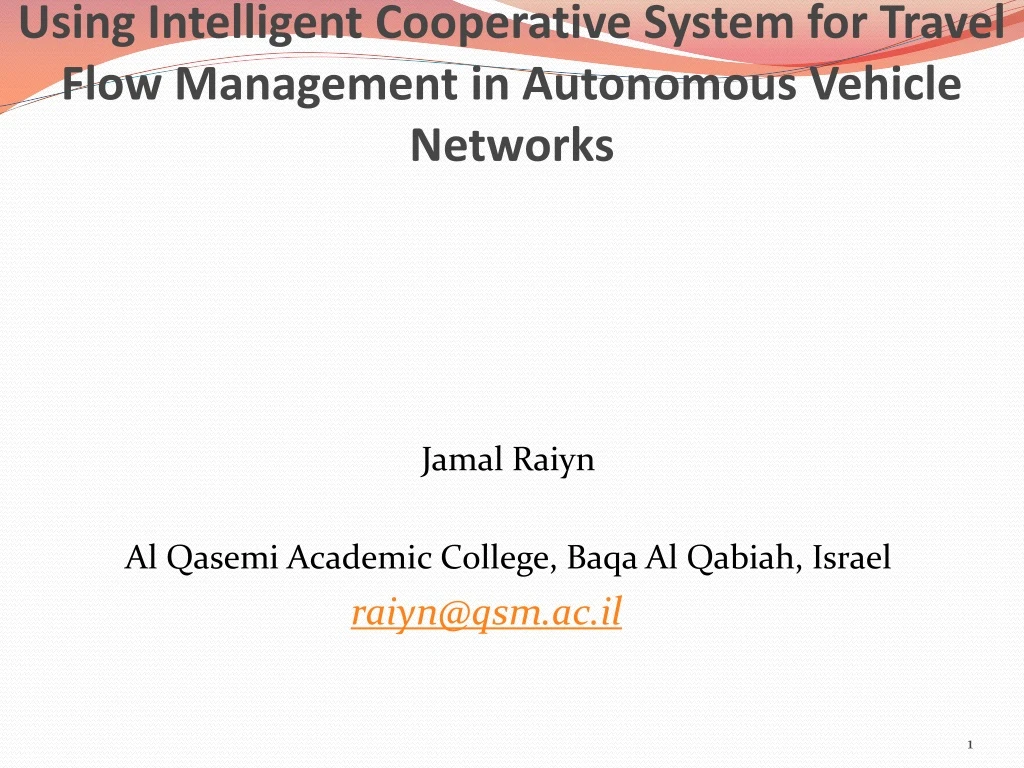
Using Intelligent Cooperative System for Travel Flow Management in Autonomous Vehicle Networks Jamal Raiyn Al Qasemi Academic College, Baqa Al Qabiah, Israel raiyn@qsm.ac.il
it will definitively need absolute positioning… yesterday Today car Future car
LIDAR Wheel encoder
LIDAR Wheel encoder
Natural Data collection Road safety Sensors Lidar Camera Wifi GNSS authentication Cellular network availability integrity Big data management accuracy veracity volume velocity variety Cyber attack
Big Data • Volume: collecting data from a variety of sources. • Velocity: Data streams in at an unprecedented speed and must be dealt with in a timely manner. • Variety: Data comes in all types of formats – from structured, numeric data in traditional databases to unstructured text documents, email, video, audio, stock ticker data and financial transactions. • Variability: In addition to the increasing velocities and varieties of data, data flows can be highly inconsistent with periodic peaks.
GNSS Receiver KML <?xml version='1.0' encoding='UTF-8'?><kmlxmlns='http://www.opengis.net/kml/2.2‘ xmlns:gx='http://www.google.com/kml/ext/2.2'><Document><Placemark><open>1</open> <gx:Track><altitudeMode>clampToGround</altitudeMode> <when>2017-01-31T20:04:40Z</when> <gx:coord>35.152591699999995 32.913915599999996 0</gx:coord> <when>2017-01-31T20:02:07Z</when><gx:coord>35.152591699999995 32.913915599999996 0</gx:coord> <when>2017-01-31T19:59:30Z</when><gx:coord>35.152591699999995 32.913915599999996 0</gx:coord> <when>2017-01-31T19:58:30Z</when><gx:coord>35.152591699999995 32.913915599999996 0</gx:coord> <when>2017-01-31T19:56:27Z</when><gx:coord>35.152591699999995 32.913915599999996 0</gx:coord> <when>2017-01-31T19:54:17Z</when><gx:coord>35.152591699999995 32.913915599999996 0</gx:coord> <when>2017-01-31T19:52:12Z</when><gx:coord>35.152591699999995 32.913915599999996 0</gx:coord>
According to Intel CEO Brian Krzanich. Vehicle will generate and consume roughly 40 terabytes of data for every eight hours of driving Volume
Cooperative Driving challenge Cooperation between heterogeneous systems implementing different algorithms with different GNSS receivers
Scenarios • Scenario 1 – Cooperative merging on highway • Scenario 2 – Cooperative intersection crossing
Communication • Wireless comm. on ETSI C-ITS standards – Both Vehicle-to-Vehicle (V2V) and Vehicle-to-Infrastructure (V2I) communications. – ETSI ITS-G5 standard (GeoNetworking protocol and Basic Transport Protocol) • Wifi mode, 5.9 GHz band (802.11p) • Messages – CAM (Cooperative Awareness Message) – DENM (DistributedEnvironment Notification Message) – iCLCM (i-GAME Cooperative Lane Change Message) • Broadcast frequency: 25 Hz
CAM Message • Vehicle information – ID – Vehicle type (car, truck, etc.) – Vehicle role (emergency, roadwork) – Vehicle size (length and width) • Time Stamp – UTC time (in ms, ~1 minute ambiguity) • Kinematics – Speed, drive direction, – Acceleration
Scenario 1: merging lane-1 lane-2
Intersection crossing • 1 is a vehicle of the organizers • The challengers are 2 or 3 • Goal: – Vehicles 2 and 3 have to let vehicle 1 cross the intersection at constant speed
The virtual platooning concept • Here, the vehicle that is the closest to the intersection point becomes the (virtual) leader • Then the blue one does platooning
Autonomous, automatic or automated , self-driving cars? Is it really the solution ?... • Do the people really wish that ?... • Have we considered all the economic, social, political and ethical issues raised by this project (dream…) ? • Do computers and sensors really performs better than human drivers in all situations ?...
DECISION & MOTION How can I do it? Path planning; Vehicle control. LOCALISATION Where am I? Autonomous vehicle INTERACTION How do I interact? With other road users sharing the same road network. MAPPING Where can I move? Modeling and understanding the world.
Conclusion • GNSS is essential for autonomous cars • Vehicles exchanging dynamic information with each other is a new paradigm to improve autonomous vehicle navigation – Useful to reduce the number of embedded sensors for navigation • Reliable bounds of localization errors are essential for – Stand-alone navigation with maps – Cooperative navigation
References • Raiyn, J. (2016). Speed Adaptation in Urban Road Network Management, Transport and Telecommunication, 17, 2. 11-121. • Raiyn, J. (2017). Road traffic congestion management based on search allocation approach, Transport and Telecommunication. 18. (1).25-33. • Raiyn, J. (2017). Developing Vehicle Locations Strategy on Urban Road, Transport and Telecommunication. 18. (4). 253–262.