Download
1 / 23
230 likes | 514 Views
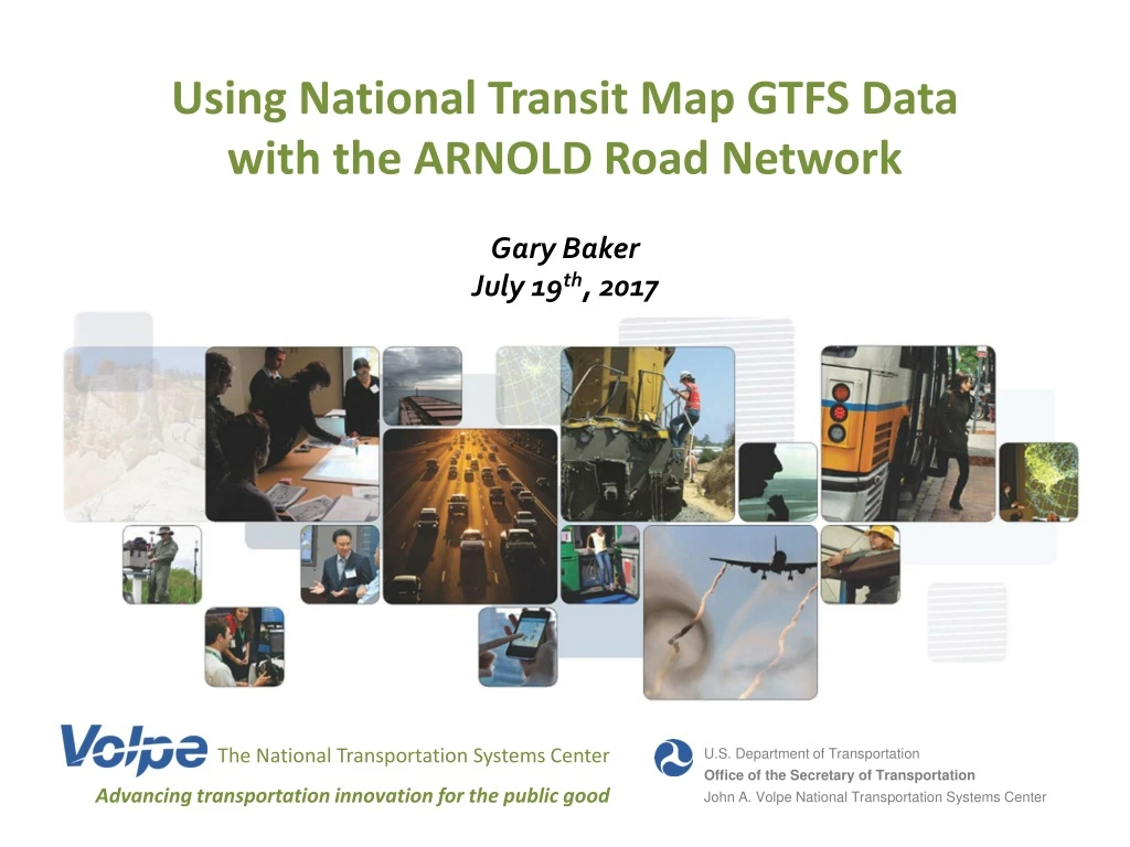
Using National Transit Map GTFS Data with the ARNOLD Road Network. Gary Baker July 19 th , 2017. The National Transportation Systems Center. U.S. Department of Transportation Office of the Secretary of Transportation John A. Volpe National Transportation Systems Center.

E N D
Using National Transit Map GTFS Data with the ARNOLD Road Network Gary Baker July 19th, 2017 The National Transportation Systems Center U.S. Department of Transportation Office of the Secretary of Transportation John A. Volpe National Transportation Systems Center Advancing transportation innovation for the public good
What does GTFS data look like? • agency.txt One or more transit agencies that provide the data in this feed. • stops.txt Individual locations where vehicles pick up or drop off passengers. • routes.txtTransit routes. A route is a group of trips that are displayed to riders as a single service. • trips.txtTrips for each route. A trip is a sequence of two or more stops that occurs at specific time. • stop_times.txt Times that a vehicle arrives at and departs from individual stops for each trip. • calendar.txtSpecify when service starts and ends, as well as days of the week when service is available. • calendar_dates.txt Exceptions for the service IDs defined in the calendar.txt file. • fare_attributes.txt Fare information for a transit organization's routes. • fare_rules.txt Rules for applying fare information for a transit organization's routes. • shapes.txtRules for drawing lines on a map to represent a transit organization's routes. • frequencies.txt Headway (time between trips) for routes with variable frequency of service. • transfers.txt Rules for making connections at transfer points between routes. • feed_info.txt Additional information about the feed itself, including publisher, version, and expiration.
Project Research Question Can we combine GTFS schedule data with other nationally available data to create multimodal performance measures to better understand system performance? • Service characteristics from GTFS attached to the road network and traffic data • Estimated stop/route-level transit ridership • Transit usage as a proportion of overall multimodal transportation use in a corridor
Nationally Available Data • General Transit Feed Specification (GTFS) Schedules • Originally designed for providing user directions, not management data. • Processed for service characteristics—frequency and connectivity. • National “All Road Network of Linear Reference Data” (ARNOLD) • Average Annual Daily Traffic from Highway Performance Monitoring System (HPMS)
GTFS /ARNOLD Snapping Process • Objective is to snap GTFS bus shape points to ARNOLD • Base of analysis is the shapes.txt GTFS file, a tabular representation of the points that make up a linear transit network. Each vertex/point in the shapes.txt file is associated with a shape ID (essentially a unique transit travel path) • A transit route can be associated with many different shape IDs (hereinafter referred to as route shapes). Typically there is at least one route shape for each direction and more if the route changes depending on time of day/day of week, etc.) • To understand the level of service on a route or part of a route, we need to attach all services on that route to one base geospatial roads layer
Challenges with GTFS Route Shapes Red Bus Orange Bus Road
ARNOLD Road Snapping:Process Overview • Convert raw GTFS text files into an easily queryable SQLite database • Uniquify GTFS shape ID points (shape ID points can repeat for overlapping route shapes and uniquifying cuts down significantly on processing time) • Prepare ARNOLD data (linear-reference AADT data, create nodes at intersections, clip to transit system extent, fix network connectivity issues) • Link each shape ID point to an ARNOLD node or edge • Use ArcGIS Network Analyst to route the routes • Run quality checks • Incorporate transit stops
Incorporating Stops • All route stops are snapped to the associated route shape • ARNOLD network is split at stops • Routing process is rerun (all stops will now fall at network nodes) • Route shapes can now be represented in terms of ordered GTFS stop ID pairs and the road segment IDs between each pair • GTFS stop_timesdata can be used to assign buses to segments, allowing various service characteristics to be calculated by segment • Example Route Shape 710030:(FROM_STOP, TO_STOP) --> [Ordered List of Segment IDs] (2076, 2020) --> [2005, 1882, 1806, 1738, 1743, 1757, 1758](2020, 2021) --> [1756, 1767, 1779, 1784, 1799, 1798, 1814, 1825](2021, 2023) --> [1824, 1804, 1763](2023, 2025) --> [1762, 1731, 1730, 1715, 1712, 1696, 1685, 1679, 1678](2025, 2026) --> [1677, 1653, 1619, 1585](2026, 2027) --> [1584, 1563, 1520, 1495, 1481]
Raw GTFS Route Shapes Snapped to ARNOLD
Official Bus Map Snapped to ARNOLD
Road Snapping:Boston • Boston’s MBTA GTFS bus route shapes snapped to the ARNOLD network • 1,080 route shapes in total
Quality Checks • The distance and location of the snapped bus route shapes can be compared to the unsnapped route shape data (shapes.txt in the GTFS feed) • Large discrepancies can be investigated further • Some bus route shapes may traverse roads that are not in ARNOLD (e.g. busways, mall or office parking lots, etc.) These roads can be manually added to an ‘enhanced’ ARNOLD layer so that routing is more accurate
Non-Road Transit Snapping Challenges • No equivalent to ARNOLD exists for non-road transportation (i.e. commuter rail, subway, ferry, off-road Bus Rapid Transit) • Cannot do direct AADT to ridership comparison
Results • Frequency and other service characteristics: Spatial data that integrates with the road system and aggregates service from multiple routes traveling the same corridor. • Granular ridership estimation: Estimated stop/route-level ridership for systems where this data is incomplete or unavailable. • Corridor multimodal usage: Bus ridership and AADT are now features of the same spatial object. So we can calculate transit riders as a percentage of all motorized users on a given road.
Potential Uses /Next Steps • Enhanced interactive map on National Transit Map webpage showing nation-wide trip frequency by route and stop • Additional transportation planning applications
Thank you! • Gary Baker • USDOT Volpe Center • gary.baker@dot.gov • 617-494-3631