Download
1 / 22
220 likes | 389 Views
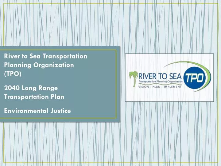
River to Sea Transportation Planning Organization (TPO) 2040 Long Range Transportation Plan Environmental Justice. River to Sea TPO 2040 Long Range Transportation Plan – Environmental Justice. Environmental Justice Legislation. River to Sea TPO MPA Low-Income Populations.

E N D
River to Sea Transportation Planning Organization (TPO) • 2040 Long Range Transportation Plan • Environmental Justice
River to Sea TPO 2040 Long Range Transportation Plan – Environmental Justice
River to Sea TPO MPA • Low-Income Populations
River to Sea TPO MPA Low-Income Populations • Low-income populations are those living below the poverty level • In the River to Sea TPO MPA, 13.6% of residents meet this designation. This figure is higher than the Florida average of 9.9%.
Central Volusia County • US 92 serves as the northern edge of a land area bordered by SR 44 in the south • This area extends from approximately five miles east of DeLand to I-95 in the west
West – Southwest Volusia County • US 17 into DeLand and west to the St. Johns River • South along US 17-92 low-income populations are located around the south-western edge of the River to Sea TPO MPA • From DeBary in the west to Osteen in the east, low-income populations are located on both sides of I-4, north of Lake Monroe, and west of SR 415
Northwest Volusia County • Areas east of Lake George, on the Putnam – Volusia County lines extending east to SR 11 and south to Lake Woodruff and US 17, have a high percentage of low-income residents
Southeast Volusia County • Areas of Southeast Volusia County with high percentages of low-income populations are in close proximity to the intersection of SR 44 and US 1 • Low-income populations are also found south of SR 442, east of I-95, and reaching south to the Volusia – Brevard County lines. US 1 traverses through this area, its major population center being Oak Hill
East Volusia County – East of I-95 • Holly Hill • Daytona Beach • South Daytona • High percentages of low-income populations are located east of I-95 south of Ormond Beach to Ponce Inlet • Percentages are particularly high in Holly Hill, Daytona Beach and South Daytona
Southwest Flagler County • Areas west of I-95 and east of US 1 are highlighted by this 2040 LRTP as having a high percentage of residents qualifying as low-income • The primary roadway serving this area is SR 100. Low-income populations are both north and south of SR 100.
River to Sea TPO Minority Populations
River to Sea TPO MPA Minority Populations • Minority populations examined by this LRTP include: Black; Hispanic or Latino; Asian; American Indian or Alaska Native; and Native Hawaiian and Other/Pacific Islander • The River to Sea TPO MPA average percentage of minority populations is 25.1% • This figure is below the statewide average of 40.9%
Northeast Volusia County • The highest percentages of minority populations within the TPO MPA are located in the vicinity of Daytona Beach • Boundaries of the identified area include: SR 430 (north); local road Shady Place (south); SR 5A (west); and US 1(east) • Minority population percentages in this area reach as high as 97.6%. The average minority density for this portion of Volusia County is approximated at 90.6%
Deltona • Located directly adjacent to I-4, both to the east and west • Local roads that serve these communities are Saxon Boulevard, Newmark Drive, Providence Boulevard, N. Normandy Boulevard, and E. Normandy Boulevard • The selected planning analysis area averages a 45.3% minority population, with the highest percentage (51.5%) located between Providence and Saxon Boulevards
DeLand • Southern DeLand, from SR 44 in the north - to SR 15 in the south, is a third Environmental Justice planning analysis area • US 92 bisects the highlighted portion of DeLand. In particular, the neighborhoods east of S. Adelle Avenue, south of W. Beresford Avenue and northeast of Bon Air, in which minorities comprise 93.8% of the total population
Flagler County • Environmental Justice should also be a key consideration when undertaking planning efforts in the west and northwest portions of Flagler County; particularly west of I-5 and north of SR 100
Northwest Volusia County • Areas surrounding the intersection of SR 40 and SR 15, north of Glenwood, south of Seville, and east of Astor and Pierson are all included in this planning analysis area.
New Smyrna Beach • Enterprise Avenue and Wayne Avenue serve as the south and north borders of the identified planning area, while Halleck Street and SR 1 are the east and west borders • The neighborhoods within these boundaries are comprised of 65% minorities
Summary of Findings Portions of the River to Sea TPO MPA with an overlap of the two Environmental Justice populations (Low-Income and Minority): • Daytona Beach: • South of US 92, north of Beville Road, and west of Clyde Morris Boulevard, residents have a median income of $29,583 and are comprised of 42% minorities. • Bisected by US 92, areas east of SR 5A, west of US 1, and north of Shady Place, and south of 3rd Street have a median household income of approximately $12,000 and average nearly 90% minority populations. • North of US 92, west of SR 5A, east of Bill France Boulevard, and south of LPGA Boulevard between Jimmy Ann Drive and Derbyshire Road. This selected portion of the TPO MPA is comprised of 73.5% minority populations; with 26% of residents living below the poverty level. • DeLand • US 17-92 bisects an area bordered by South Hill Avenue in the east and SR 15 in the west. Northern edges of this area are West Howry Avenue and East Wisconsin Avenue. Median income figures in this area are approximately $24,000 and minority populations range from 45% to above 90%.
Summary of Findings Portions of the River to Sea TPO MPA with an overlap of the two Environmental Justice populations (Low-Income and Minority): • Northwest of Deltona and southwest of Orange City: • This area, with US 17-92 as the western edge and I-4 on the east, averages greater than 40% minority populations and less than $25,000 in median household income. Saxon Boulevard is the southern edge of this defined area and East Graves Avenue is the northern border. • Bunnell • The intersection of SR 100 and US 1, bordered by Hyman Circle in the southeast and South Knight Street in the west. This portion of Flagler County has a median household income of $28,594 and is composed of 65.8% minorities. • New Smyrna Beach: • US 1 (east), Wayne Avenue (north), Milford Place (west), and SR 44 (south) - Median income is approximately $20,000 and minority populations average over 55%.
Thank You! Andy Nicol awnicol@transystems.com (407) 790-0135