Download
1 / 10
100 likes | 231 Views
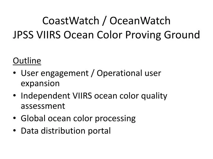
CoastWatch / OceanWatch JPSS VIIRS Ocean Color Proving Ground. Outline User engagement / Operational user expansion Independent VIIRS ocean color quality assessment Global ocean color processing Data distribution portal. User Engagement.

E N D
CoastWatch / OceanWatchJPSS VIIRS Ocean Color Proving Ground Outline • User engagement / Operational user expansion • Independent VIIRS ocean color quality assessment • Global ocean color processing • Data distribution portal
User Engagement • NWS/NCEP: include NRT VIIRS chlorophyll in ocean modeling & forecasting • For NWS operational systems: RTOFS, GODAS, CFS • Status: meeting held Dec, NCEP testing VIIRS data to define requirements • NOS/NCCOS: VIIRS chlorophyll for HAB Bulletin, QA enhancements • Status: meeting held Sep, NOS preparing to evaluate chl algorithms • NMFS/NCBO: include chlorophyll in Chesapeake Bay ecosystem model for fisheries management • Status: meeting held Nov, data conversion completed for input to model • NESDIS/SAB: ocean surface reflectance for oil spill response • Status: user request in draft
NOAA Chesapeake Bay Office – Ecosystem Modeling Team The Chesapeake Atlantis Model (CAM) A Holistic Ecosystem Model Incorporating: • Biological environment • Primary production • Trophic interactions • Recruitment relationships • Age structure • Size structure • Life History • Fisheries • Multiple sectors • Gears • Seasons • Spatially explicit • Physical environment • Geology • Chemistry • Circulation & currents • Temperature • Salinity • Water clarity (TSS) • Climate variability • Nutrient Inputs • Currency is Nitrogen • Oxygen • Silica • 3 Detrital forms • Bacteria-mediated recycling Developing and Applying Tools For Ecosystem-Based Fisheries Management
Benefits of NESDIS data for science questions addressed in the Chesapeake Atlantis Model • Verify/tune current model • Develop new improved model: • Test effects of vastly improved spatial & temporal resolution of chla, sst & tss data on model predictions • Capture/ model system effects of episodic events • Minimize lower trophic-level errors & consequently, limit error propagation
Complete: Conversion of VIIRS data to Ecosystem Model Grid Georeferenced grid Ecosystem model grid VIIRS satellite chlorophyll S-NPP VIIRS chlorophyll CoastWatch 2-day avg (Dec 3-4, 2012) Raster data: UTM coordinates Chesapeake Bay Program Georeferenced polygonal grid 8,282 polygons NOAA/NMFS/NCBO Atlantis Ecosystem Model 97 polygons Aggregated from 8,282
Independent VIIRS Ocean Color QAdaily comparison to NASA MODIS climatology, all CONUS regionsComplete: ongoing, available on web Chl median rel difference SDR LUT update Chl mean rel difference Chl std dev rel difference N-samples Hawaii region, 2012
VIIRS Ocean Color QAalgorithm evaluation in preparation for operational productionStatus: NOS & NMFS-Pacific users are being provided analysis for algorithm feedback VIIRS (L2gen) monthly for Dec 2012 VIIRS (IDPS) monthly for Dec 2012 MODIS (L2gen) Monthly for Dec 2012 MODIS Climatology For December
Global VIIRS Data Processing • Process and make available all global granules per day • Chl, nLw • True color browse images • Daily global composite, full-resolution (750m) • Chl, Rrs-671, K-490 • Reduced resolution (4km) global • daily, weekly, monthly • Chl, Rrs-671, K-490
VIIRS Ocean Color Data Access Portal Google Map global granule display User selects granule to see browse image, file access THREDDS server for access to full-res global files Enhancements to existing search page Product status (experimental, operational) Return date range when search returns no hits Temporal bins
Future ( 2nd year? New proposal effort? ) • Ongoing NRT QA comparisons of CW VIIRS chl with NASA NRT chl (suggested enhancement from NOS for HAB monitoring/forecasting) • Product development for NWS/NCEP ocean modeling • Kpar (needs NASA involvement) • Multi-day composites • BUFR format? • Product development for SAB: oil spill response • Ocean surface reflectance product • VIIRS Total Suspended Matter (needs NASA involvement) • Severe storm response: sediment plume tracking in Chesapeake Bay • Data Access Portal enhancements: data cart, data subscriptions, geospatial searching, increased data retention time