Download
1 / 17
170 likes | 300 Views
Climatological Perspectives on the Rainfall Characteristics Associated with Landslides in Western North Carolina. Christopher M. Fuhrmann, Charles E. Konrad II, Lawrence E. Band, Martin W. Doyle Department of Geography University of North Carolina at Chapel Hill

E N D
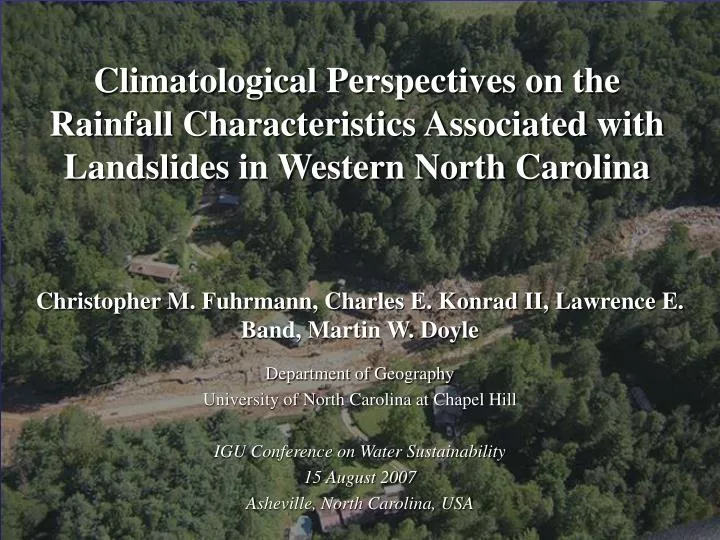
Climatological Perspectives on the Rainfall Characteristics Associated with Landslides in Western North Carolina Christopher M. Fuhrmann, Charles E. Konrad II, Lawrence E. Band, Martin W. Doyle Department of Geography University of North Carolina at Chapel Hill IGU Conference on Water Sustainability 15 August 2007 Asheville, North Carolina, USA
Peeks Creek Debris Flow • Initiated during Hurricane Ivan • 30 feet deep • 250 feet wide • 33 miles/hr • 5 fatalities, 15 homes damaged • Landslide Hazards in the Southern Appalachians • Over 200 fatalities since early 1900s • Thousands of acres of destroyed forest • Recurrence intervals for individual landslides are highly variable • Considerations of scale • Location
CAUSES Underlying geology Geomorphology Hydrology Weather and climate Deforestation TRIGGERS Earthquakes Blasting/excavation Freeze-thaw periods Precipitation/storms Dam failure Landslides in Western North Carolina CAUSES • Underlying geology • Geomorphology • Hydrology • Weather and climate • Deforestation Source: North Carolina Geological Survey [http://www.geology.enr.state.nc.us/]
Excessive point rainfall totals alone cannot be used to adequately determine the potential for flooding or excess rainfall… Excessive point rainfall totals alone cannot be used to adequately determine the potential for flooding or excess rainfall… Excessive point rainfall totals alone cannot be used to adequately determine the potential for flooding or excess rainfall… Must also consider the timing and spatial distribution of the rainfall (Hirshboeck et al., 2000; Konrad, 2001) Heavy rainfall associated with landslides in western NC (Witt, 2005): 1. Short-lived, intense localized storms 2. Long-lived, regional-scale storms 3. Multiple short or long-duration storms that “train” • What are the return intervals for these storms and how do they rank in the context of other heavy rainfall events in western NC? • What antecedent period(s) are tied climatologically to landslides? • What are the storm types associated with landslides in western NC?
Landslide Inventory for Western North Carolina(North Carolina Geological Survey, 2006) 1950-2004: 30 events comprising 221 individual landslides Appalachian Escarpments TN NC SC
Objective 1: Estimate the concurrent and antecedent rainfall amounts over each landslide location and determine how they rank against other heavy rainfall events in western NC Objective 2: Identify the predominant storm types associated with landslides in western NC Methods: 1. Construct a heavy rainfall climatology for western NC (i.e., the heaviest 55 rainfall events between 1950 and 2004) 2. Determine the antecedent rainfall at various time scales for all rainfall events (8718 events) and identify the most significant “wet periods” 3. Rank the concurrent and antecedent rainfall totals associated with each landslide event in the context of the heavy rainfall climatology and antecedent wet periods 4. Identify predominant storm types using the manual classification scheme developed by Maddox et al. (1979) for flash flood events
Study Area: Western North Carolina Shaded relief overlain with locations of rainfall stations from the COOP network
What is the percentage of landslide events connected with heavy concurrent and antecedent rainfall? Soil Events Rock Events n=19 n=19 n=11 n=11 Antecedent Rainfall
What types of weather events are associated with landslides in western North Carolina? *Only soil events examined 5/19 2/19 7/19 5/19 42% of soil events associated with an antecedent tropical cyclone
What percentage of landslide events are associated with isolated heavy rainfall? Determine the ratio of local to regional scale rainfall High ratio = locally heavy rainfall over the landslide area Local:Regional Rainfall Ratios *Only soil events examined
Where do some of the more notable landslide events in the past 55 years rank in the context of heavy concurrent and antecedent rainfall? November 1977 • Bent Creek Debris Flows near Asheville (Pisgah National Forest and Coweeta Forest)
Hurricane Opal (October 1995) • Blackstock Knob Debris Flows onto the Blue Ridge Parkway (just northeast of Asheville in Buncombe Co.)
December 2003 (and December 1990) • One fatality and one house destroyed in the Maggie Valley Apartment Complex (Haywood Co.) • Why develop on a debris fan?
July 1997 • Pigeon River Gorge Rockslide onto US Interstate 40 • Infiltration of water along weakened fracture planes
Hurricanes Frances and Ivan September 2004 Frances (9/6) Ivan (9/16)
Summary • Landslides in western NC can be broken down into “rock events” and “soil events” based on the contribution of heavy rainfall to slope movement • 47% of soil events connected with heavy concurrent rainfall; 0% of rock events connected with heavy concurrent rainfall • An important connection established quantitatively (median rankings) between landslide activity and antecedent rainfall in western NC • Landslide events are generally associated with heavy isolated rainfall embedded in a regional-scale rainfall event (positive local:regional rainfall ratios) • An important connection established between landslide activity and tropical cyclones • Trigger event – 80% associated with heavy concurrent rainfall • Primer event – 42% of landslides associated with an antecedent tropical cyclone • 5. Longer antecedent time periods connected more strongly to landslide activity • • Landslide data acquired through a grant from the US Forest Service awarded to L. Band and M. Doyle • Rainfall data acquired through a grant from the National Science Foundation awarded to C. Konrad (BCS-9911315)