Download
1 / 26
260 likes | 389 Views
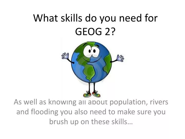
What skills do you need for GEOG 2?. As well as knowing all about population, rivers and flooding you also need to make sure you brush up on these skills…. Basic skills. annotation of illustrative material, base maps, sketch maps, OS maps, diagrams, graphs, sketches, photographs etc

E N D
What skills do you need for GEOG 2? As well as knowing all about population, rivers and flooding you also need to make sure you brush up on these skills…
Basic skills • annotation of illustrative material, base maps, sketch maps, OS maps, diagrams, graphs, sketches, photographs etc • use of overlays • literacy skills.
How could we annotate this extract to show the key drainage features?
How could we annotate this photo to explain the process of meander formation?
How could we use an annotated diagram to show how waterfalls form?
Investigative skills • identification of geographical questions and issues, and effective approaches to enquiry • identification, selection and collection of quantitative and qualitative evidence from primary sources including fieldwork) and secondary sources • processing, presentation, analysis and interpretation of evidence • drawing conclusions and showing an awareness of the validity of conclusions • evaluation • risk assessment and identification of strategies for minimising health and safety risks in undertaking fieldwork.
Cartographic skills • atlas maps • base maps • sketch maps • Ordnance Survey maps at a variety of scales • maps with located proportional symbols – squares, circles, semi-circles, bars • maps showing movement – flow lines, desire lines and trip lines • detailed town centre plans • choropleth, isoline and dot maps.
OS map skills • If your OS map skills are a bit rusty, visit http://mapzone.ordnancesurvey.co.uk/mapzone/ to brush up on them – there are some fun games to try.
Graphical skills • line graphs – simple, comparative, compound and divergent • bar graphs – simple, comparative, compound and divergent • scatter graphs – and use of best fit line • pie charts and proportional divided circles • triangular graphs • kite and radial diagrams • logarithmic scales • dispersion diagrams.
Can you draw a pie chart? Watch http://www.youtube.com/watch?v=W60F_517PVY&feature=related to remind you if you can’t remember how to do this.
ICT skills • use of remotely sensed data – photographs, digital images including those captured by satellite • use of databases, eg census data, Environment Agency data; meteorological office data • use of geographical information systems (GIS) • presentation of text and graphical and cartographic images using ICT
What does remotely sensed data look like? How can we use it?
Statistical skills • measures of central tendency – mean, mode, median • measures of dispersion – interquartile range and standard deviation • Spearman’s rank correlation test • application of significance level in inferential statistical results.
What are mean, median and mode? • Watch http://www.youtube.com/watch?v=QH2obAPwfqk to remind you what these different averages are – it is fab! • Watch http://www.youtube.com/watch?v=ZIU9xc1SSR4 to remind you how to calculate the median and interquartile range – it isn’t as funky, but is very clear.
How do geographers use Spearman’s rank correlation? • See http://www.slideshare.net/prioryman/gcse-geography-how-and-why-to-use-spearmans-rank to review how to calculate a spearman’s rank correlation and how to find out how significant the correlation is.