Download
1 / 52
520 likes | 664 Views
Why is one area of the earth’s land surface a desert, another a grassland, and another a forest?. I. Climate. Climate - long term weather patterns. Weather - momentary conditions of the atmosphere; created by the unequal heating & cooling of the earth’s surface.

E N D
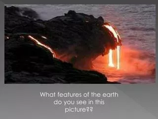
Why is one area of the earth’s land surface a desert, another a grassland, and another a forest?
I. Climate Climate- long term weather patterns Weather- momentary conditions of the atmosphere; created by the unequal heating & cooling of the earth’s surface. Temperature&Precipitation-major factors that determine an areas climate. Humidity- the amount of water vapor air holds, which is dependent upon temperature.
Vernal equinox March 21 Sun vertical at equator Northern Hemisphere Names Winter solstice Dec. 22 Sun vertical at 23.5oS Winter solstice Dec. 22 Sun vertical at 23.5oS Summer solstice June 21 Sun vertical at 23.5oN Autumnal equinox Sep. 23 Sun vertical at equator
Earth further from sun Earth closer to sun
The radiant energy emitted by the sun. It is highest at the equator and lowest at the poles. Solar irradiance- We are interested in conditions near the Earth’s surface What are some factors that effect exposure to irradiance?
Non-rotating Earth Convection cell model
Add rotation and add landmasses unequal heating and cooling of the Earth
90o High pressure, dry climate 60o Low pressure, wet climate High pressure, dry climate 30o ITCZ intertropical convergence zone= doldrums Low pressure, wet climate 0o 30o 60o 90o
Idealized winds generated by pressure gradient and Coriolis Force. • Actual wind patterns owing to land mass distribution..
January Seasonal changes in the position of the ITCZ
Summer monsoon- Wet Winter monsoon- Dry
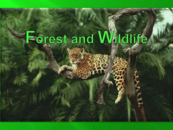
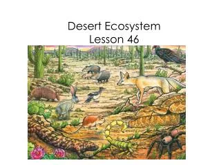
Forest Desert Tundra Biome A major type of ecological community, determined largely by climate. Grassland Tundra Chaparral Taiga Grassland Desert Mountain Zones Tropical rainforest Temperate Evergreen Forest Temperate Deciduous Forest Polar Ice
Coriolis Effect Objects moving in the northern hemisphere are deflected to the right (cw) Objects moving in the southern hemisphere are deflected to the left (ccw)
North Pole Buffalo moves 783 mph Quito moves 1036 mph Buffalo 15o N equator Quito Buffalo equator 79oW Quito South Pole
What do Nike, rubber ducks, and hockey gloves have to do with oceanography?
Boundary Currents in the Northern Hemisphere Type of Current General Features Speed Special Features Western boundary Currents warm swift sharp boundary Gulf Stream, Kuroshio narrow w/coastal circulation, deep little coastal upwelling Eastern Boundary Currents cold slow diffuse boundaries California, Canary broad separating from coastal shallow currents, coastal upwelling common
Dynamics of a Tropical Cyclone Air moves toward zone of low pressure and veers off course to right L Counter current circulation in Northern Hemisphere
Eddy • A circular movement of water formed along the edge of a permanent current • In an average year, 10-15 rings are formed • 150-300 km in diameter • Speed 1 m/sec • Warm core ring • Rotates clockwise • Found on the landward side of the current • Cold core ring (cyclonic eddy) • Rotates counterclockwise • Forms on the ocean side of the current
WARM CORE RING • Gulf Stream meander develops • Amplitude of the meander increases • Meander forms a loop and begins ro pinch off • Ring separates from Gulf Stream
Ekman Transport Water flow in the Northern hemisphere- 90o to the right of the wind direction Depth is important
upwelling downwelling
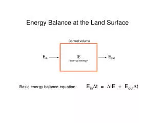
Fate of Solar Radiation Reaching the Earth reflection clouds snow and ice the earth’s surface atmospheric dust
Fate of Solar Radiation Reaching the Earth absorption atmosphere oceans land plant photosynthesis
Human-Produced Greenhouse Gases Carbon Dioxide Methane Nitrous Oxide
Carbon Dioxide Temperature Year
Predicted Consequences of Global Warming • sea level rise • increased plant primary productivity • increased storm severity • changes to patterns of rainfall • changes to ocean circulation patterns
Global Warming 100 m sea level rise
Global Warming 100 m sea level rise
El Nino • Oceanic and atmospheric phenomenon in the Pacific Ocean • Unusually warm conditions appear along the western coast of Ecuador and Peru • Causes climatic disturbances of varying severity • - heavy rains cause mudslides • - warm water effects anchovy fisheries • Occurs during December • Seiche- water in a confined space sloshing back and forth