Download
1 / 17
170 likes | 253 Views
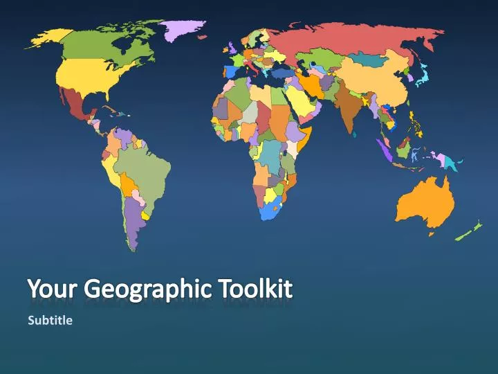
Your Geographic Toolkit. Subtitle. Features of a Map. Title -identifies the area shown, topic, focus or purpose of the map. Legend -explains the meaning of the symbols and colours . Scale -represents the relationship between distance on the map and distance in the real world

E N D
Your Geographic Toolkit • Subtitle
Features of a Map • Title -identifies the area shown, topic, focus or purpose of the map. • Legend -explains the meaning of the symbols and colours. • Scale -represents the relationship between distance on the map and distance in the real world • Direction -represented with an arrow or a symbol or by the use of latitude and longitude • Border -sets the map apart from other information. • Date of Publication -indicates how recent the map is.
Rules of Labeling • Place names (Countries, provinces, cities, lakes, oceans) are written parallel to the bottom edge of the paper. • River names should curve to follow the course of the river • Provincial capitals should be shown with a square. • National capitals should be shown with a star • Smaller communities should be shown with a dot. (size of dots should represent the size of the city- Lindsay’s dot should be smaller than Peterborough’s because Lindsay has a smaller population) • Labels of similar features (capital cities) should be the same size • DO NOT underline labels or block other information with labels
Colouring and Shading • Maps should be properly colour coded using different colours to show the different areas on the map • Shade consistently avoiding light and dark patches • Use solid colours only • White or black are not to be used as colours on a map • Grey should only be used for areas not important to the map • Blueis only to be used for water: lakes, rivers, oceans, seas, bays • When shading large bodies of water, “feathering” around the edge of the land is acceptable • Ensure the colours used on the map match the colours used in the legend
Legend • Area symbols- colours • Green? • vegetation (parks, fields, orchards, etc..) • Blue ? • water (lakes, rivers, oceans, seas) • Red? • urban areas ( cities, neighbourhoods, etc..) or highways
Legend • Line Symbols Land Border Road Railway tracks
Legend • Point Symbols
Scale Map Scale shows the relationship between the distance on a map and the actual distance on the Earth’s surface. There are 3 basic ways of showing the scale of a map: Direct Statement, Linear, Representative Fraction
Scale 1. Direct Statement Scale- uses words to describe the relationship between a distance on a map and a specific distance on the Earth’s surface. 1 cm to 10km or 1 cm =10 km Both statement above mean the same thing, 1 cm on the map represents 10 km on the Earth.
Scale 2. Linear Scale- a special ruler on the map is divided into equal units of distance. It always includes the units of measurement on the Earth’s surface as well as blocks out units of measurement on the map.
Scale 3. Representative Fraction Scale- the fraction is a ration where one unit on the map equals a specific number of the same unit on the Earth’s surface. It is always done as a ration or faction of 1 1:50 000 1 cm=0.5km 1: 50 000 equalsOR 1 cm on the map = 50 000 cm on the Earth’s surface Conversion 1 km = 1000m 1 m= 100 cm 1km= (1 000 X 100)cm= 100 000cm
Direction • Compass Rose- method of finding direction on a map • There are 4 Cardinal Points- North, South, East, West
Direction • Compass Rose- method of finding direction on a map • There are 12 Ordinal Points- NNE, NE, ENE, ESE, SE, SSE, SSW, SW, WSW, WNW, NW, NNW