Download
1 / 18
190 likes | 437 Views
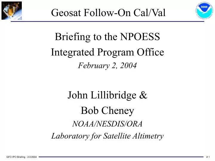
Geosat Follow-On Cal/Val. Briefing to the NPOESS Integrated Program Office February 2, 2004 John Lillibridge & Bob Cheney NOAA/NESDIS/ORA Laboratory for Satellite Altimetry. Spacecraft & Sensors. Ku-band Altimeter Dual-ƒ Radiometer 4 GPS Receivers Doppler Beacon Laser Retro-reflector

E N D
Geosat Follow-On Cal/Val Briefing to the NPOESS Integrated Program Office February 2, 2004 John Lillibridge & Bob Cheney NOAA/NESDIS/ORA Laboratory for Satellite Altimetry
Spacecraft & Sensors • Ku-band Altimeter • Dual-ƒ Radiometer • 4 GPS Receivers • Doppler Beacon • Laser Retro-reflector • Fixed Solar Array • Solid State Memory
A Brief History • Launch: 2/10/1998 from Vandenberg AFB • 6th Anniversary approaching; 8-year nominal lifetime • Initial hardware difficulties • Onboard CPU resets • GPS receivers failed • Loss of primary orbit determination system • Loss of precision time-tagging • Ground-based time-tag unit at NAVSOC: June, 1999 • CPU reset problems solved: November, 1999 • Navy acceptance: November 29, 2000
Altimetry Data Return Start of GDRs Momentum Wheel Anomaly Time-tag Unit Navy Acceptance
Core Activities - U.S. Navy • SPAWAR • Program management • Navy Cal/Val team - CSC contractors • NAVSOC • Satellite Command/Control & Data telemetry • Operational Doppler orbits • NAVO/NRL • Payload Operations Center - ADFC • Near real-time altimetry - GODAE server • DoD data requests
Core Activities - NASA & NOAA • NASA • Wallops Flight Facility • Instrument performance monitoring & Cal/Val • Goddard Space Flight Center • Precise Orbit Determination from laser ranging • Ice-sheet monitoring via altimeter waveforms • NOAA • Final Science-quality Geophysical Data Records (GDRs) • Near real-time Interim GDR • Civilian Data Requests (Foreign & National) • Funding OSU Cal/Val team & GSFC Orbits • Funded CLS for GFO-specific sea-state bias model • Data archive at NODC
Navy/SPAWAR Cal/Val • Precision Time-tag Monitoring • Incentive Fee to Ball Aerospace: • Cycle by cycle data coverage • Radar altimeter noise-floor determination • Water Vapor Radiometer noise determination
Ultra-Stable Oscillator Drift dƒ/ƒ ~ dDt/Dt ~ dh/h ~ 10-7 (0.1 ppm) Doppler Frequency ƒ: 400 MHz dƒ: 40 Hz Record SpacingDt: 0.98 sec dDt: 0.1 msec Range Correction h: 800 km dh: 8 cm
NASA Wallops Cal/Val • Altimeter instrument performance • Validate instrumental corrections to range, AGC, SWH • Distribute cal/val data records • Monitor internal calibration mode & provide corrections • Daily Science Data sanity plots • Windspeed monitoring • Attitude Boresight “ABCAL” maneuver analysis
Attitude Adjustment • Mean Off-Nadir angle ~ 0.24° until Feb.’02 • Attitude ~ 0.08° now • Current SDR algorithm “clips” Attitude2
Greenland Heights vs. ETOPO2 • Deviations relative to Geoid+Topography • -40 meter interior offset • Compare with DTM2000 • No waveform retracking
Ohio State Cal/Val • Navy & NOAA products evaluated • Sea surface height residuals • Water vapor correction validation • Orbit error estimates from crossovers
European Partners • CNES - Corsica absolute calibration • CLS - Real-time “DUACS” system • Validation of all corrections • Editing thresholds and engineering flags • Sea surface height, SWH, Wind & Attitude • S.O.S. (U.K.) - SWH/Wind Buoy validation
GFO & T/P Sea Surface Height • SSH-MSS residuals: 11 cm for GFO; 10 cm for T/P • Geocenter offsets applied (B. Beckley/GSFC)
NOAA GFO GDR Datasets • Based on final POE laser orbits • State of the Art Corrections • Cycles 37 - 104 on three DVDs • January, 2000 - March, 2003 • Cycles 105 - 118 via ftp • March - November, 2003 • < 10 cm SSH Variability • Cycles 119… with MOE orbits • Daily IGDR files in 3 days NRT
NOAA Funding for GFO $80K NASA/GSFC Orbit Determination $50K Ohio State Cal/Val Team $35K CNES/CLS Sea-State Bias Model $65K NRC Post Doc - Remko Scharroo $230K excluding salaries & NODC support