Download
1 / 5
50 likes | 161 Views
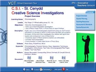
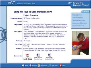
Geography, Sciences, Citizen Education. Project Overview. Learning Areas. Levels. 15-17 years old. Objectives. Teaching differently; learning differently; make the children more aware about their environment (geographical, social, economical, political, etc.).

E N D
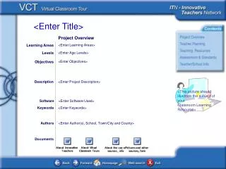
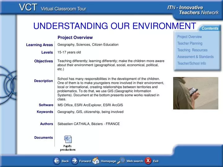
Geography, Sciences, Citizen Education Project Overview Learning Areas Levels 15-17 years old Objectives Teaching differently; learning differently; make the children more aware about their environment (geographical, social, economical, political, etc.) School has many responsibilities in the development of the children. One of them is to make youngsters more involved in their environment, local or international, creating relationships between territories and problematics. To do that, we use GIS (Geographic Information Systems). Document at the bottom presents some works realized in class. Description Software Keywords MS Office, ESRI ArcExplorer, ESRI ArcGIS Geography, GIS, citizenship, being involved Authors Sébastien CATHALA, Béziers - FRANCE Documents
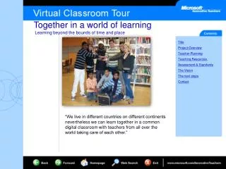
Teacher Planning and Management Click the documents below to help you understand the context of this exemplary learning project: Background & Planning: presentation of three activities realized in classroom and/or outside (for gps statements). Each of these activities can be easily do over. Classroom Images: here are some photographs. There are a few because we can’t integrate documents with the face of the children. Documents
Teaching Resources Click the documents below to view the teaching resources used in the teaching of this learning project: Student Project Overview: An overview of required tasks. Depending on each project realized, materials and tasks can be very different. The Internet represents an easy way to download resources and free data that make projects more easy to elaborate. You can use a variety of devices like computer, Tablet PC, PDA, GPS. These tools are also interesting because they give more freedom when you are on to the field. But, much more important, GIS involve the teacher to make a plan. This is the basic element in any GIS project. What do want you to do ? What do you expect? Documents
Assessment and Standards Click the documents below to see the assessment rubrics and standards cover in this learning project: Assessment Rubrics: Examples of assessment rubrics provided to students showing how the project was assessed. Mapping the Standards: Mapping this project’s learning objectives against curriculum standards. Documents
Teacher and School Information Jean Moulin high school is located in Beziers, south of France. Its extendend area is about 12 ha. It includes two high schools (K10 to K12), which have about 3400 pupils and 380 teachers. It’s one of the biggest school in our academic region. Sébastien Cathala : I am an history and geography teacher and I teach for fifteen years. I use ICT most of the time and I try to create each time new ways of learning process. I am also a trainer in my disciplins and in ICT (I(ve been responsible of various academic projects like Gis in schools or digital literacy for young teachers , etc.)