Download
1 / 28
300 likes | 520 Views
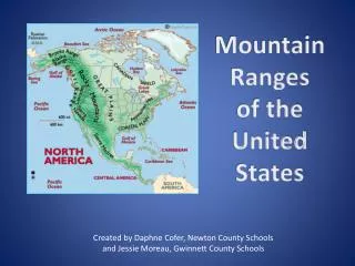
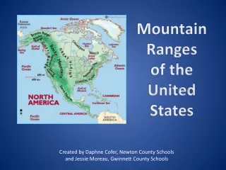
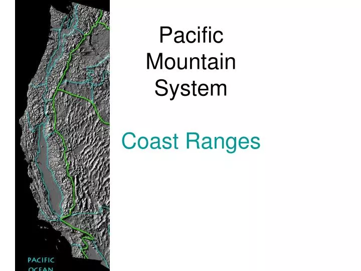
Pacific Mountain System Coast Ranges. North Coastal Ranges. South Coastal Ranges. Coast ranges. Most Mountain peaks at around 4,000 ft. 550 miles long (North & South) Divided into Northern and Southern Ranges at San Francisco Bay

E N D
North Coastal Ranges South Coastal Ranges
Coast ranges • Most Mountain peaks at around 4,000 ft. • 550 miles long (North & South) • Divided into Northern and Southern Ranges at San Francisco Bay • Proximity to ocean on west slope, keeps temperatures cool, and fog common – • Fog held there by mountains. • Inland valleys, peaks have less coastal influences
North Coast Ranges • Run north of SF to Klamath Mountains, by Eureka. • Heavy summer fog keeps soil moist along coast • Adds up 10 inches of precipitation • Inland valleys drier due to rainshadow • Bodega, Napa, Sonoma etc. • Heavy Salt spray along coast • Include mostly North/South running river valleys • Eel, Russian Rivers • Older than Southern Ranges. • Includes higher peaks, some exceeding 7,000 ft.
North Coast Ranges • Most Seismically active region in United States • In the 1990s, at least nine magnitude 6.0-plus earthquakes jolted the North Coast. • This amount of large quakes was higher than in any other decade within the last century.
Uplifting • West coast constant rising up over last several million years. • Along with changes in sea level during Ice Ages the uplifting of old marine / shoreline terraces are moved from 100 - 1000 ft. above sea level. • Sedimentary layers get tilted in uplifting and when saturated they may give way, causing the frequent mudslides along southern coast.
Northern Coastal Zones • Pygmy forest: shallow soil with hard pan underneath in sandstone. • Water-logged in winter, dry in summer • Costal fog keeps trees alive • Restricted root growth stunts plants • Bolander Pine endemic species, Pygmy Cypress grows there as poor competitor. • Closed Cone pines on uplifted dunes- sandy soils, cool wet climate with fog.
Pygmy Forest • Shallow soil • Hardpan layer restricts root growth- stunting trees • Small plants but old with mature cones, berries • Needs heavy summer fog to prevent drying out
Northern Coastal Zones • Rocky intertidal – ocean and land meet- high diversity of algae and animals. • Dunes (strand) drought-adapted vegetation. • Vines, deep roots, shifting sands • Coastal Prairie: first terrace, uplifted dune • Green year round, perennial wildflowers, rushes, etc. Used for pasture for dairy cows • Redwood forest – cool wet areas away from salt spray
Northern Coastal Zones • Mixed evergreen forest: • Douglas Fir, Tanoak, Giant Chinquapin, Madrone, Bay, Coast Live Oak • Yellow Pine- Jeffery Pine • High elevation or dry with serpentine • Foothill woodland • Blue Oak inland, Oregon Oak in coastal slopes • Foothill pine, Buckeye, Redbud, • Coast / Interior Live on north slopes • Riparian • Redwood, Bay, BL Maple, Doug fir, Torreya, Dogwood, Alder , Willow
North Coast Range Geology: • Arc islands that got accreted to North American plate during the late Mesozoic (65-150 million years ago). • Has Franciscan rocks (shales and sandstones) formed by rapid erosion settling into marine basins, then uplifted as arc islands.
Franciscan Rocks sedimentary marine deposits uplifted • Salinian Block formed south of Sierras, moved North 190 miles. • Population of salamanders, newts traveled along with rocks • Now isolated as separate species
Southern Coast Ranges • Run from SF to Transverse Ranges, by Santa Barbara • Some peaks reach 6,000 ft. Taller peaks in the southern end due to less erosion • Larger, wider North - South valleys • Salinas River Valley • Nacimiento River Valley • Strong slope effect: south-facing has dry chaparral, north-facing has evergreen oaks
South Coast Range Geology • The Granitic rocks in the core formed as part of Sierra Nevada batholiths moved north up to 300 miles north by San Andreas fault activity over last 25 million years. • Uplifting and placement of Southern Coast Ranges above sea level over last 1-2 million years, much more recent then Northern Ranges. • Mainly composed of soft unstable sedimentary rocks easily eroded • Santa Cruz cliffs loose an average of a foot a year. • Maximum record was 75 feet in one storm season
Serpentine - an Edaphic (soil) ecological island • Igneous rocks intruded into Franciscan rocks and metamorphosized by heat and sea water to green serpentine. • named for serpent pattern of mottled snake skin. • rich in Mg and Fe; Ni, Co, Cr • low in Ca, Na, K • These minerals leeching from rock make root function difficult for plants, causing water stress
Serpentine communities: Poor competitors survive on serpentine: In North Coast Ranges: chaparral with Chamise In wetter areas: Closed Cone Pines, Jeffery Pine or Incense Cedar predominate Specialists plants adapted to serpentine: Leather oak Interior Silktassel Shrubby forms of California bay Macnab Cypress in interior North Coast Ranges
Banana Slug- Our State Mollusk Very common in moist Coastal forests
Monarch Butterflies West of Rockies, Adults over-winter in coastal valleys from Bolinas, to Ensenada. Eastern Monarchs migrate to central Mexico. Only known insect that migrates over long distances. 3000 miles to MX 660 miles AZ to CA
Winters • Adults eat nectar- hard to find in winter inland, easier along coast, Mexico • Adults migrate, basically going extinct in cold areas over the winter. • Return to same trees as the previous year. Yet – They are three or four generations removed from previous years monarchs!! • Migration is instinctive, not learned • In spring they repopulate, laying eggs as they fly back north, west. Offspring then take over repopulation spreading the population back as winter retreats.
Monarchs protected by Milkweed toxins eaten while larvae Larvae (caterpillars) eat Milkweed, and accumulate the toxic cardiac glycosides. The Monarchs are immune but their predators are not. Monarchs are protected by these compounds from being eaten in general. A few must be lost so birds learn to avoid them. Predators (birds) learn to avoid adult monarchs by their coloration.