Download
1 / 19
190 likes | 283 Views
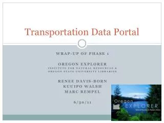
Transportation Data Portal. Data Extraction Tool DEMO Oregon Explorer Institute for Natural Resources & Oregon State University Libraries Kuuipo Walsh Marc Rempel 6/30/2011. Overview of Discussion. Project Overview Demonstration of Tool Q&A. Project Overview. User registration;

E N D
Transportation Data Portal Data Extraction Tool DEMO Oregon Explorer Institute for Natural Resources & Oregon State University Libraries Kuuipo Walsh Marc Rempel 6/30/2011
Overview of Discussion Project Overview Demonstration of Tool Q&A
Project Overview • User registration; • Limited access to restricted data based on user-login; • Additional overlay and background layers, to be discussed. A Transportation Framework Implementation Team (T-FIT) workgroup will determine which overlay and background layers will be used; • Capability for downloads in multiple formats using a map interface; • Links to OR-TRANS partner sites; • Establish a protocol for the addition or exchange of data layers from ODOT as data layers become available or are replaced; and • Have a functional beta website available for internal use by June 30, 2011.
Implementation • Installed Geoportal 1.0 on development server. • http://methionine.library.oregonstate.edu:8080/geoportal/ • Harvested current OSDL records. • Created a new “gpt_transportation” role. • Customized code to add “Transportation” tab when a user with “gpt_transporation” role logs in. • Created a new generic user with transportation role.
User Workflow • Login • Select “Transportation” tab • Select Area of Interest • Pre-defined areas • User drawn • Select output format • Select output projection • Enter email address (for large downloads only) • Extract • Download • In application for small areas (less than 30,000 sq miles) • Email with link for large areas.
Choice List:File Geodatabase - GDB - .gdb Shapefile - SHP - .shp Autodesk AutoCAD - DXF_R2007 - .dxf Autodesk AutoCAD - DWG_R2007 - .dwg Bentley Microstation Design (V8) - DGN_V8 - .dgn Intergraph GeoMedia Access Warehouse - FM0 - .mdb
Choice List:NAD 1983 Oregon Statewide Lambert Feet Intl NAD 1927 StatePlane Oregon North FIPS 3601 NAD 1927 StatePlane Oregon South FIPS 3602 NAD 1927 UTM Zone 10N NAD 1927 UTM Zone 11N NAD 1983 HARN Oregon Statewide Lambert (Intl Feet) NAD 1983 HARN StatePlane Oregon North FIPS 3601 (Intl Feet) NAD 1983 HARN StatePlane Oregon South FIPS 3602 (Intl Feet) NAD 1983 StatePlane Oregon North FIPS 3601 (Intl Feet) NAD 1983 StatePlane Oregon South FIPS 3602 (Intl Feet) NAD 1983 UTM Zone 10N NAD 1983 UTM Zone 11N WGS 1984 WGS 1984 Web Mercator NAD 1983 Albers Region 6