Download
1 / 15
150 likes | 277 Views
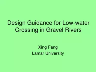
Design Guidance for Low-water Crossing in Gravel Rivers. Xing Fang Lamar University. Guidance in Estimating Sediment Transport in Gravel River.

E N D
Design Guidance for Low-water Crossing in Gravel Rivers Xing Fang Lamar University
Guidance in Estimating Sediment Transport in Gravel River • Goal: Provide a set of simple tools /procedures for TxDOT engineers to evaluate sediment transport in gravel rivers for various low-water crossing profiles. • Tasks: Identify and test simple tools and procedures for many low-water crossings in hill-country area.
Simple Tools/ProceduresPart I – Flow Estimation • (1). Estimate watershed parameters from 30-meter digital elevation model (low-water crossing as watershed outlet). • (2). Estimate discharges for different return periods from state-wide regression equations (Asquith and Slade, 1997) • (3). Check any available discharge measurements from USGS or other agencies.
Simple Tools/ProceduresPart II – Particle Distribution • (1). Propose a simple method to determine sediment particle distribution in gravel river nearby low-water crossing, e.g., pebble accounting frame or tape method with gravelometer. • (2). Test and document methods into simple procedures, which should be easy for TxDOT technicians to apply.
Determine particle distribution by using pebble counting frame and gravelometer
Determine particle distribution by tape method and gravelometer (6” interval)
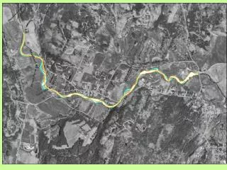
Simple Tools/ProceduresPart III – Surveying of Channel Geometry • (1). Propose to survey at least three to five channel cross sections near the low-water crossing: one at the low-water crossing, two at the downstream and two at the upstream of the crossing including estimation of channel slope. • (2). Provide guidance on cross section survey, especially, recommend appropriate distances between cross sections – important for HEC-RAS. • (3). Channel geometry will be used for BAGS (Bedload Assessment in Gravel-bedded Streams) and/or HEC-RAS modeling.
Simple Tools/ProceduresPart IV – Estimation of Bedload Transport • (1). Propose and test to use BAGS and to estimate bedload transport rate under various flow conditions for natural channel condition and various proposed low-water crossing profiles. • (2). Identify possibility to verify BAGS results with physical/numerical model results and field observations.
Simple Tools/ProceduresPart IV – Estimation of Bedload Transport • (3). Quantify the order of sediment deposition before the crossing for discharges at various return periods – Give possible sediment deposition at that return period. • (4). Suggest which crossing profile is better – less sediment deposition, easy to pass sediment over the structure, and less possibility to maintenance.
Simple Tools/ProceduresPart V – HEC-RAS Simulation • (1). Identify ways to more accurately compute water surface profiles in HEC-RAS for gravel rivers with large gravel transport over low-water crossing, e.g. increase of Manning’s n for channel part, elevate the channel bed with D84 or particle characteristics size (e.g., Limerinos, 1970). • (2). Use results of physical/numerical or field observation to verify water surface profile computation.
Two- or Three Hydrodynamic and Sediment Transport Model • Use NCCH2D/3D - two- or three- dimensional sediment transport model from NCCH (National Center for Computational Hydroscience and Engineering) for hydrodynamic and sediment transport modeling for low-water crossing in gravel rivers. • 2D model is free from NCCHE, but 3D model is not. It has mesh generator.
2D/3D Modeling • Goal: (1) Use 2D model to simulate water surface profiles for gravel river with heavy gravel transport in order to identify ways to more accurately compute water surface profiles by using HEC-RAS. • Equivalent Manning’s n – link n with characteristic particle size (some literature review)
2D/3D Modeling • Goal: (2) Test possibility/ideas of design of structure to fail (sacrificial structures). • Goal: (3) Test/evaluate possible design a gravel accelerator/guide/funnel which is designed to promote passage of gravel flux over/ through structure (low-water crossing).
Porous Structure • Simple model for flow simulation through porous structure. • Lay a series of small pipes inside porous structure to (a) accelerate flow passage under base flow condition, (b) eliminate any large size of culverts, and (c) make low-water crossing have minimum disturbance to natural channel.