Download
1 / 17
170 likes | 287 Views
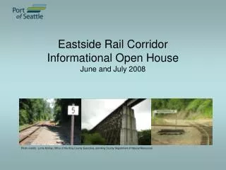
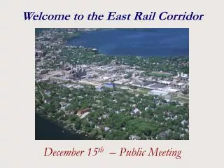
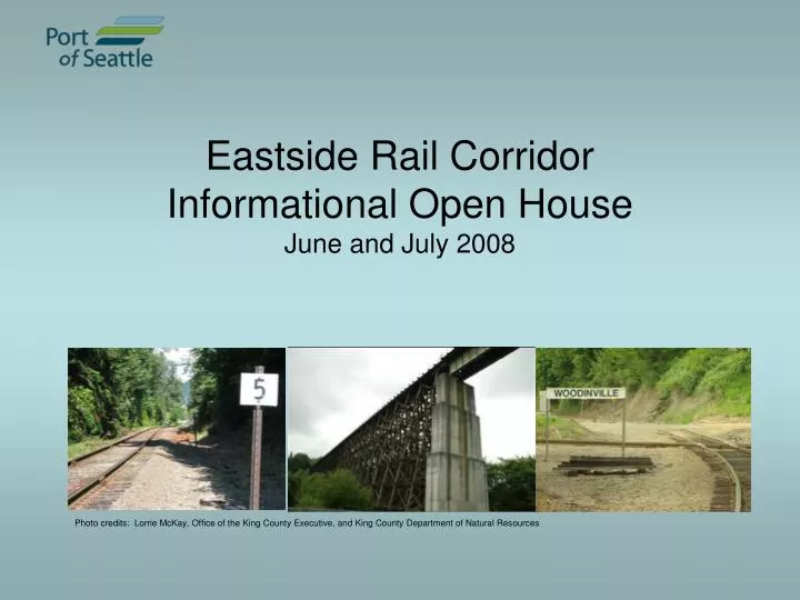
Eastside Rail Corridor Informational Open House June and July 2008. Photo credits: Lorrie McKay, Office of the King County Executive, and King County Department of Natural Resources . June 12 ─ Snohomish June 18 ─ Woodinville June 25 ─ Bellevue July 9 ─ Kirkland July 10 ─ Renton.

E N D
Eastside Rail CorridorInformational Open HouseJune and July 2008 Photo credits: Lorrie McKay, Office of the King County Executive, and King County Department of Natural Resources
June 12 ─ Snohomish June 18 ─ Woodinville June 25 ─ Bellevue July 9 ─ Kirkland July 10 ─ Renton Open House Schedule
Corridor acquisition Freight, rail-banking and trail uses Regional agency activities Future regional public process on corridor use Tonight’s Presentation
Place regional asset into public ownership Preserve corridor for public access trail and transportation uses A public/private partnership for regional mobility and economic vitality Engage in robust and thorough public process about the corridor’s future use Eastside Rail Corridor Goals
Over 100 years old Over 40 miles from north Renton to Snohomish (including Redmond spur) Up to 100 feet wide; varies throughout Primarily single track rail Highly diverse geography: urban/rural; residential/commercial Corridor Characteristics
Corridor Segments Uses proposed to federal Surface Transportation Board (STB): • North: Freight use • South: Rail banked, public access trail • Potential for excursion train
BNSF proposed divesting of corridor Multi-agency “BNSF Corridor Preservation Study” Port Commission authorized negotiations with BNSF May 08 BNSF: Sale, Donation agreements King County: Interlocal agreement STB: filing begun June Informational open houses Corridor Key Dates
July Complete STB filing Sum ‘08 BNSF selection of shortline operator, with Port approval Fall ‘08 STB approval expected: rail banking & shortline operator Transaction closes 4Q ’08 Begin Regional Process regarding region’s 1Q ‘09 interest in dual use (transportation/trail) Future Key Dates
Port acquires Corridor from BNSF BNSF sells the right to operate freight to a third party operator (TPO) selected by BNSF, and approved by the Port Port signs agreements with TPO, providing for freight service, and likely excursion train to the wineries After regional process, excursion train could extend to the south, such as Bellevue After regional process, TPO would accommodate commuter rail, if called for Key Deal PointsNorthern portion Photo: Lorrie McKay, Office of the King County Executive
Summer 2008: BNSF to request proposals from qualified shortline operators Process BNSF produces Request for Proposal, Port reviews Shortline operators submit proposals BNSF selects operator Port approves operator STB must also approve selection Excursion train operation included in proposals Third Party Operator Selection Photo credit: Puget Sound Regional Council
Port acquires corridor from BNSF Southern segment of corridor is rail banked; King County is the trail sponsor King County contributes $2 million; Port grants King County an easement for trail development Public process to gauge support for dual use of the Corridor (transportation/trail) Key Deal PointsSouthern portion Photo credit: King County Department of Natural Resources
Preserves corridor by allowing interim trail use, with future freight rail use protected Process BNSF applies to abandon rail service Owner/Trail Sponsor requests interim trail use to preserve future freight use STB suspends abandonment Passenger rail is permissible use under rail banked status Rail Banking Photo credit: King County Department of Natural Resources
State Department of Transportation: Interstate 405 expansion, in particular Wilburton Tunnel crossing Legislature’s Commuter Rail Feasibility Study by Sound Transit & Puget Sound Regional Council (PSRC) Sound Transit 2 package: “Partnership Demonstration contribution” Federal Surface Transportation Board (STB) comment period Port/King County host regional public process to determine dual uses King County Trail Master Planning Public Agencies Involved
WSDOT I-405: South Bellevue Widening • BNSF abandoned trackage over Interstate 405 at Wilburton (2006) • Rail corridor right-of-way property remains in tact • WSDOT funds available to build crossing for trail • Rail can be reconstructed in future Looking Southbound
Sound Transit / PSRC feasibility study (SHB 3224) Purpose: to determine if BNSF line can be a meaningful component of region’s future transportation system Geographical extent of service Existing rail lines and planned usage Station location Ridership projections Cost for adjacent trail Identify most beneficial, cost-effective sections Complete by late 2008 for report to state legislature Commuter Rail Feasibility Study
Port / County Regional Process Proposal Ongoing: Coordination with King County, Snohomish County, Sound Transit, PSRC and Eastside Transportation Partnership (ETP) June Port Eastside public informational open houses Fall ‘08 Complete STB process; acquire corridor 4Q ‘08- Public process to gain input on uses of corridor 1Q ’09 Spr ‘09 Staff recommends uses to Port Commission