Download
1 / 31
310 likes | 435 Views
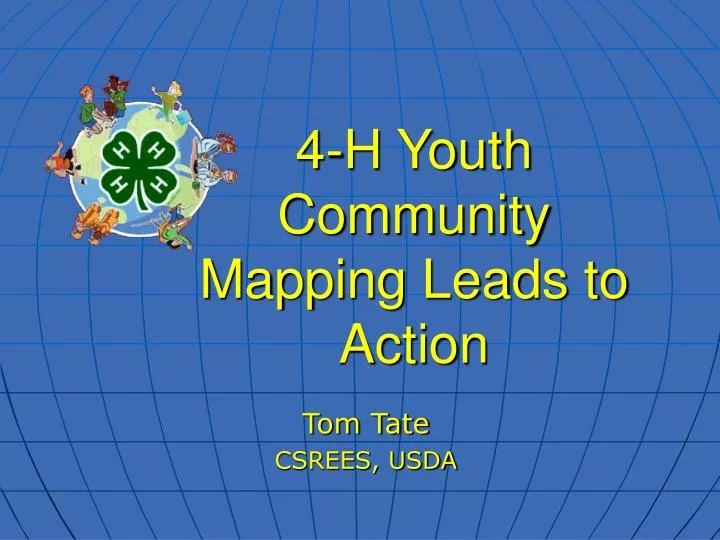
4-H Youth Community Mapping Leads to Action. Tom Tate CSREES, USDA. 4-H Youth Tech Teams. Learn geospatial skills Do GIS community projects Become aware of local resources Gain community partners Develop critical thinking skills Have fun. 4-H Youth Project Examples. Geocaching

E N D
4-H Youth Community Mapping Leads to Action Tom Tate CSREES, USDA
4-H Youth Tech Teams • Learn geospatial skills • Do GIS community projects • Become aware of local resources • Gain community partners • Develop critical thinking skills • Have fun
4-H Youth Project Examples • Geocaching • Street Tree Inventory Project • Environmental center trail mapping
4-H Military Partnership • GIS and GPS projects for 4-H Clubs on military posts and local National Guard and Reserve youth and their families
Arkansas Gillam Park Project • Old neighborhood going through renovation • The old park was leased to Audubon • The Tech Team will help support education and conservation • Naturemapping the park
Arkansas Mapping Gillam Park • Teams mapped trails and learned about plants and wildlife • Logged our tracks and waypoints • Used GPS Photo Link to link photos with track logs and waypoints
Vermont File Eaters 4-H Technology Club • Expand use and awareness of GPS and GIS to community neighbors and partners. • Promote physical activity and encourage healthy lifestyle choices - use GIS to identify a prime location for a new athletic track and skate park in our community.
Vermont Athletic Park project: • We want a location that is central and near a more heavily populated area with good roads to get there. • We proposed an unkept area that was once a youth soccer field. With ArcView, we found that this site meets our needs. We’ve shown our project to our elected officials.
How do we stimulate Economic Development and Tourism in our counties? Let’s look at an idea the 4-H youth designed…
Youth Favorite Places’ VISION Recreational sites/activities preferred by youth and their families will draw tourism spending to small towns and rural areas saving jobs, creating new ones and retaining populations in rural communities.
MyCOE • Youth are invited to work as individuals or teams to: • Create a project about a sustainable development theme in their local area • Learn more about special issues (e.g. water) • Map information, analyze problems, and design solutions • Submit work by March 1, 2006. • Earn recognition at national and international exhibits
Geospatial Extension Specialists Status of the Program Puerto Rico Programs added through CSREES solicitation in 2004 Pre-2004 Interested States
Community Geography – GIS in Action • GIS Basics • Seven Case Studies and Exercises • Reducing Crime • A War on Weeds • Tracking Water Quality • Investigating point-source Pollution • Getting Kids to School • Protecting the Community Forest • Selecting a Wildlife Management Area
National GIS/GPS Team • Who are we?: • A coalition of federal and industry partners, including CSREES, that helps communities map their assets and needs by adopting GIS and GPS technology. • For more information, visit http://www.gisgpsintegration.org
Conclusion • Help us make Community Mapping a success story in your community! • Build and support successful youth and adult teams! • Increase successful decision making in your community!
Vision Every county inter-generational partnership annually updates community’s maps displaying critical economic, social and environmental needs.
As Margaret Mead once said, “Never doubt that a small group of thoughtful committed people can change the world: indeed it’s the only thing that ever has!”
Contact Information • Tom Tate, National Program Leader • Economic and Community Systems • Cooperative State Research, Education and Extension Service • U. S. Department of Agriculture • 202-720-2727, ttate@csrees.usda.gov