Download
1 / 9
90 likes | 101 Views
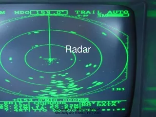
Houze, Ellis, Schumacher, Medina, Rutledge, Moore, Brodzik, Yuan. Radar Discussion Report. Review of radar systems Locations of radars at supersite Scanning strategies Data formats and displays Real time data transmission Staffing Questions for ARM/AMIE

E N D
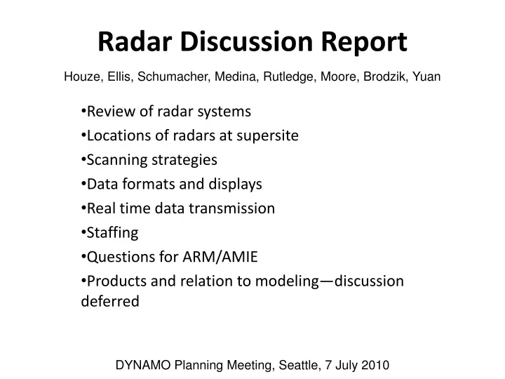
Houze, Ellis, Schumacher, Medina, Rutledge, Moore, Brodzik, Yuan Radar Discussion Report Review of radar systems Locations of radars at supersite Scanning strategies Data formats and displays Real time data transmission Staffing Questions for ARM/AMIE Products and relation to modeling—discussion deferred DYNAMO Planning Meeting, Seattle, 7 July 2010
Review of Radars at Supersite * HUMIDITY • Doppler Air motions • SMART-R C-band • SPolKa • ARM X & Ka • NOAA S-band? • Polarimetric Microphysics • SPolKa • ARM X band • MM-WAVELENGTH • ARM mm radar • ARM Ka band • SPolKa Ka band • CM-WAVELENGTH • Precipitation • SMART-R C-band • SPolKa S-band • ARM/AMIE X-band • NOAA S-band? • NOAA Distrometer? • DUAL WAVELENGTH • SPolKa (NCAR) S & Ka band • MM-WAVELENGTH • ARM mm radar • ARM Ka band • SpolKa Ka band
Ship Radars * • Doppler Air motions • C-band scanning • MM-WAVELENGTH • Vertically pointing mm-wavelength • CM-WAVELENGTH • Precipitation • C-band scanning • MM-WAVELENGTH • Vertically pointing mm-wavelength
Where the radars will be located SMART-R SPolKa/SACR? 5 km Addu Atoll AMF2(MMCR?)/SPROF?
Scanning Strategies • Need to coordinate C-band radar scans at ships with SMART-R • SPolKa strategy • Shallow convection—horizontal • Deep convection—vertical & horizontal combined • Decision making—will involve radar scientist to decide when to switch (issue to resolve)
Data formats and displays • For radar geeks only—See detailed meeting notes of Socorro Medina
Real time data transmission • Will need SMART-R and ARM data at SPolKa site • If aircraft is involved more data transmission questions will arise • NCAR, UW, A&M, and ARM engineers will need to coordinate about these issues
Staffing at Gan • Technical staff • NCAR 2 technicians at all times, 2 student* helpers throughout the project are desirable • ARM 1-2 tech staff at all times, ~2 local or student* helpers—must be employed by DOE • Scientists from UW, A&M, NCAR (includes students) • UW 1-2 people at any time (Houze, Brodzik, Medina, Rasmussen) • A&M 1 PI and/or engineer at beginning for setup, 2 students* at all times thereafter • NCAR 2 (scientists), 0-1 DYNAMO radar scientist** at all times • Student summary • NCAR—2 students* for humidity calculations; 2 students* for other technical assistance • A&M—2 students* for operating SMART-R • UW—1 UW student for UW science activity • ARM--TBD *Could be from UW, A&M, CSU or other university **Could be student or staff from UW, A&M, or CSU
Questions for ARM • Radar locations • Staffing needs • Data transmission to SPolKa site • Other?