Download
1 / 17
170 likes | 250 Views
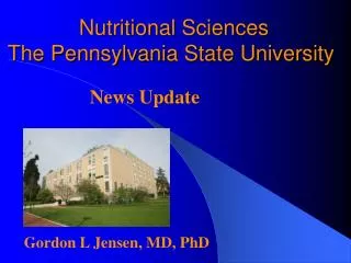
By Martha Mosqueda The University of Arizona Department of Nutritional Sciences April 18 th , 2009. Using Geospatial Technology and Collaborative Mapping in Vulnerable Populations to Promote Physical Activity. Thank You!.

E N D
By Martha Mosqueda The University of Arizona Department of Nutritional Sciences April 18th, 2009 Using Geospatial Technology and Collaborative Mapping in Vulnerable Populations to Promote Physical Activity
Thank You! Nobuko (Kay) Hongu, PhD- Mentor: Nutritional Sciences Extension Specialist (UA) Barron Orr, PhD- Mentor: Arid Lands Studies (UA); Geospatial Extension Specialist Kristin Wisneski-Project Advisor: OALS Graduate Student Luis Huizar-Moral Support: University of Arizona
Overview • Objective • Three at risk populations and GPS transition. • Green Valley Treasure Hunt (Walk Across Arizona) • El Rio Weight Loss Fitness Program Treasure Hunt • Ironwood Tree Experience • Interpretation • The Future and Stealth Health
Objective Encourage regular stealth PA with the integration of geospatial technology in three vulnerable populations. Are GPS and collaborative mapping a motivation to have fun and move? *PA = Physical Activity
Populations A vulnerable populations = Anyone with compromised levels of PA 1. Seniors 2. Low income women 3. Youth
Garmin GPS Map60 GPS Receiver Garmin Forerunner 305 GPS Watch Technology
Green Valley Social Center • 16 Seniors 64-90 years old • WAAZ = Walk Across Arizona • Average of 1,848 steps walked • Google MyMaps
Post-Questionnaire Results
El Rio Weight Loss Fitness Program • 9 low income women ages 19-67 from South Tucson • Walked an average of 1,164 steps • Google MyMaps • Results: 100% positive
Ironwood Tree Experience • Youth ages 12-14 • 16 week program • Map their favorite places in nature • Google MyMaps Aims at reconnecting youth with nature and their community
Interpretation 1. These three different populations like using GPS. 2. This research suggests that geospatial technology has the potential to encourage PA in vulnerable populations. 3. We are now integrating our GPS results into collaborative maps (via Google MyMaps) with NASA imagery providing the context for analysis and visualization.
Future These findings are being incorporated into a new federal study (“Stealth Health”) involving GPS in mobile phones and collaborative maps in social networks.
Acknowledgements • Ironwood Tree Experience (ITE) • Walk Across Arizona • Green Valley Social Center • Arizona Cooperative Extension • Office of Arid Land Studies • Nutritional Sciences Department • El Rio Community Health Center Thank You!
What is a GPS? • Global Positioning System is a navigation tool. • Give your position on earth with the information satellites send to the GPS receiver. • We use it scientifically to encourage and measure PA and map. • http://scign.jpl.nasa.gov/learn/gps1.htm