Download
1 / 9
90 likes | 168 Views
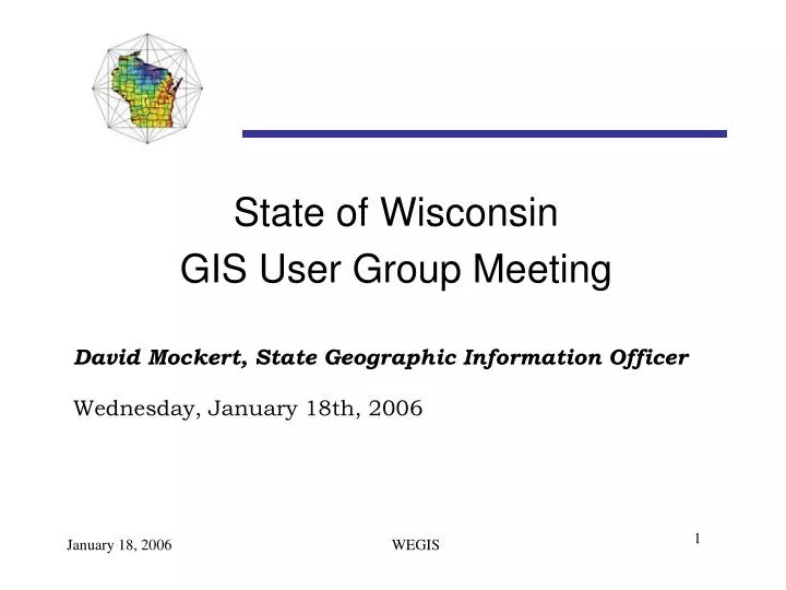
State of Wisconsin GIS User Group Meeting David Mockert, State Geographic Information Officer Wednesday, January 18th, 2006. Agenda. Introduction The State of Wisconsin Enterprise GIS (WEGIS) GIO Business Plan Informal Survey Questions/Answers. WEGIS Team Members. Curtis Pulford – DOT

E N D
State of Wisconsin • GIS User Group Meeting • David Mockert, State Geographic Information Officer • Wednesday, January 18th, 2006 1
Agenda • Introduction • The State of Wisconsin Enterprise GIS (WEGIS) • GIO Business Plan • Informal Survey • Questions/Answers 2
WEGIS Team Members • Curtis Pulford – DOT • Kenny Parsons – DNR • Lisa Morrison – DATCP • Mike Nardi – DHFS • Chris Diller – DMA • Jim Lacy – SCO • Jerry Sullivan – DOA 3
Status of WEGIS • Office of GIO (OGIO) Business Plan • Enterprise Perspective • “Big Rocks” Concept • GIS Communications Program • Wisconsin Enterprise GIS (WEGIS) Strategic Plan • Enterprise GIS Data Repository • WEGIS Web Mapping Infrastructure and Services • Enterprise Addressing Tool 4
The Current State GIS Landscape • Built Project by Project • Program Specific Needs • Data Sharing is Ad Hoc • Haves and Have Nots 5
Enterprise Integration Objectives • Support the Enterprise IT plan • Improve business agility and support • Eliminate duplication of data and processes • Enable resource sharing and reuse • Embrace open standards • Avoid proprietary solutions • Leverage existing investments • Reduce the number of technologies used • Preserve the autonomy of government agencies • Respect the stewardship of government agencies 6
Integrated GIS A Stepwise Approach 7
Benefits • Utilizing common infrastructure is a big step • Reduce redundant efforts • Database administration • Network support • Security – both physical and virtual • Backup and Disaster Recovery • Access to Data 8
Questions? Thank you! David.mockert@wisconsin.gov 9