Download
1 / 50
500 likes | 500 Views
This lecture explores the different types of tropical clouds, including severe convection and mesoscale systems, and discusses the distribution and dynamics of the tropical cloud population. It also explores the relationship of these clouds to large-scale weather systems, monsoon convection, diurnal variability, and tropical cyclones. The research is supported by NASA, NSF, and DOE grants.

E N D
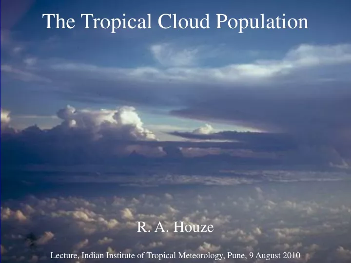
The Tropical Cloud Population R. A. Houze Lecture, Indian Institute of Tropical Meteorology, Pune, 9 August 2010
Clouds in Low Latitudes Lecture Sequence • Basic tropical cloud types • Severe convection & mesoscale systems • Tropical cloud population • Convective feedbacks to large-scales • Monsoon convection • Diurnal variability • Clouds in tropical cyclones
Visual Observation Cumulonimbus and mesoscale convective systems Cumulus congestus Small cumulus View from an aircraft flying over the South China Sea
Radiosonde Data “Hot tower hypothesis” of Riehl & Malkus 1958
Circa 1970 Satellite view of the tropical cloud population • Not good: • Missing downdraft • No stratiform rain • Unrealistic scale separation • Good: • Explained satellite pictures • Retained the hot tower notion • Included smaller clouds
More Field Projects to Study Convection BoB 1979 JASMINE1999 EPIC 2001 TEPPS1997 (Dashed: No sounding network)
Post-GATE view of the tropical cloud population MESOSCALE CONVECTIVE SYSTEMS (MCSs) STRATIFORMRAIN Houze et al. (1980)
By the early 1980’s Idealized life cycle of tropical MCS Houze 1982
The TRMM Satellite TRMM Radar Low altitude, low inclination orbit
TRMM Satellite Instrumentation λ= 2 cm Important! PR measures 3D structure of radar echoes Kummerow et al, 1998
Knowledge of global rainfall before satellites measured rain from space
Knowledge of global rainfall after TRMM & other satellites measured rain from space Combined satellite rainfall July 2000 TRMM plus passive microwave sensors + other
2 Years of TRMM PR data Large CbsMCSs Smallisolated Cbs Schumacher & Houze 2003
Traditional conceptual view of mean meridional distribution of tropical convection Simpson 1992
“Trimodal” distributionJohnson et al. 1999Conceptual model based on TOGA COARE observations Cu congestus Small Cb
“Trimodal” distributionJohnson et al. 1999Evidence from TOGA COARE soundingdata
MANUS X “Trimodal” distributionHollars et al. 1999Evidence from Manus ARM cloud radar observations
TRMM PR Deep Convective SST Climatology (July) July SST TRMM PR Shallow, Isolated Convective
TRMM view of Africa vis a vis the Atlantic Rain Stratiform Rain Fraction MCSs with large 85GHz ice scattering Lightning
Anvils of Mesoscale Convective Systems (MCSs) Yuan and Houze 2010
Three steps of analysis of multi-sensor data 1 2 3 & (TB11) (GEOPROF-2B) (TB11) (GEOPROF-2B) Yuan and Houze 2010
Use MODIS and CloudSat to find threshold of thick high cloud MODIS MODIS CloudSat Yuan and Houze 2010
1-Find“cold centers” 2-Use AMSR-E to find rain areas Locate 1st closed contour Use 260 K threshold Associate pixels with nearest cold center Use 1 mm/h threshold for rain rate Yuan and Houze 2010
Define criterion for MCS that is reasonable for all these regions Yuan and Houze 2010
Colors show rain amount Temperature defining cold center TB11 = 220 Area > 2000 km2 account for most of the rainfall Size of cold cloud top Yuan and Houze 2010
“Connected” and “Separated” MCSs Yuan and Houze 2010
MCSs Over the Whole Tropics Yuan and Houze 2010
MCSs Over the Whole Tropics Yuan and Houze 2010
Frequency of MCS anvils over tropics Yuan and Houze 2010
Comparison of MCS anvils in different parts of the tropics CloudSat data Yuan and Houze 2010
Milestones in determining the tropical cloud population Pre-satellite eraHot towers and smaller clouds Radars in field projectsMCSs, squall lines, stratiform precipitation Precipitation radar in spacePatterns of convective, stratiform, shallow isolatedRelation to ocean & land Cloud radar in spaceGlobal distributions of MCSs & anvils
Clouds in Low Latitudes Lecture Sequence • Basic tropical cloud types • Severe convection & mesoscale systems • Tropical cloud population • Convective feedbacks to large-scales • Monsoon convection • Diurnal variability • Clouds in tropical cyclones Next
This research was supported by NASA grants NNX07AD59G, NNX07AQ89G, NNX09AM73G, NNX10AH70G, NNX10AM28G, NSF grants, ATM-0743180, ATM-0820586, DOE grant DE-SC0001164 / ER-6