1 / 44

地圖臺灣

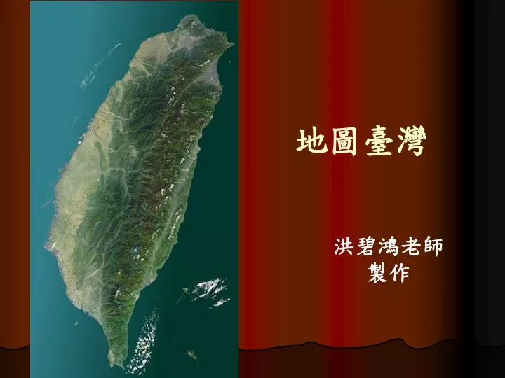
地圖臺灣. 洪碧鴻老師  製作. 古今華夷區總要圖  約北宋天符年間 (1096-1100). 1544 年最早的臺灣地圖. 1555 年東南海夷圖. 1596 中華及東印度諸島精確海圖. 1600 年後日本東洋圖-高砂國. 1600 世界地圖. 1602 年坤輿萬國全圖 ( 局部圖 ). 1609 年中華地圖. 1626 年 西 班 牙 港 口 圖. 1662 社寮島. 1627 年中華帝國圖. 1661 鄭荷談判圖. 皇明大一統總圖 ( 明思宗崇禎 9 年, 1636 年 ). 1654 年大臺北古地圖. 古地圖解說 ( 基隆 ). 1655 中華帝國.

Download Presentation

地圖臺灣

An Image/Link below is provided (as is) to download presentation Download Policy: Content on the Website is provided to you AS IS for your information and personal use and may not be sold / licensed / shared on other websites without getting consent from its author. Content is provided to you AS IS for your information and personal use only. Download presentation by click this link. While downloading, if for some reason you are not able to download a presentation, the publisher may have deleted the file from their server. During download, if you can't get a presentation, the file might be deleted by the publisher.

E N D

More Related