Download
1 / 36
360 likes | 365 Views
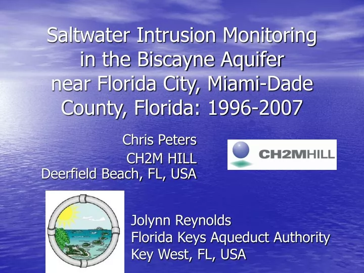
Saltwater Intrusion Monitoring in the Biscayne Aquifer near Florida City, Miami-Dade County, Florida: 1996-2007. Chris Peters CH2M HILL Deerfield Beach, FL, USA. Jolynn Reynolds Florida Keys Aqueduct Authority Key West, FL, USA. Key West. Claimed by the United States in 1822

E N D
Saltwater Intrusion Monitoringin the Biscayne Aquifer near Florida City, Miami-Dade County, Florida: 1996-2007 Chris Peters CH2M HILL Deerfield Beach, FL, USA Jolynn ReynoldsFlorida Keys Aqueduct Authority Key West, FL, USA
Key West • Claimed by the United States in 1822 • Major industries included sponging, salt, and wrecking • Largest city in Florida until 1860 • Overseas railroad completed in 1912
Florida Keys Aqueduct Authority • Autonomous public water utility • Established in 1937 by state charter • Commissioned a study (1938) to identify a water-supply source for the Keys
1938 Report • Evaluated Five Water Supply Options • Surface water supply in the Keys • Shallow wells or infiltration galleries in the Keys • Deep well supply • Solar distillation • Hauling water from the mainland • Recommended Source: • Groundwater from Homestead • Cost estimate: $2.94 million (€1.89 million)
The FKAA today • Produces approximately 18 mgd (68,000 m3/d) of treated drinking water from 10 wells • Treated water is pumped 130 miles (210 km) at pressures up to 250 psi (1,700 kPa) • Annual budget is $55 million (€35 million) • Currently constructing a $36 million (€23 million) reverse-osmosis water treatment plant to meet future demands
Biscayne Aquifer • Unconfined • Limestone, sand, shell • Transmissivity up to 300,000 ft2/d (28,800 m2/d) • Upper productive interval is approximately 80 ft (24 m) thick
Conceptual Cross-Section of the Biscayne Aquifer Image from Fish and Stewart (1991)
Saltwater Intrusion in Southeast Miami-Dade County • Pre-development conditions • First noted in the early 20th century • Drainage and municipal withdrawals
Parker et al., 1955 • The 1943-1945 drought impacted crop production in the Homestead area • Identified un-controlled canals as conduits for saltwater intrusion
Meyer, 1974 • Concluded that withdrawals from the FKAA’s wellfield could be increased to 18 mgd (68,000 m3/d) without causing saline intrusion • Used an electric analog model to evaluate additional water provided by a conveyance canal
Sonenshein, 1996 FKAA
SaltWaterIntrusion MonitorWellNetwork • FKAA • FKS wells • USGS • G wells
SWIM Monitoring Program • Regulatory requirement • Wells are sampled monthly; more frequently during droughts • Water levels • Chloride • Conductivity
SWIM Well Construction • FKAA wells • 6-8 inch (15-20 cm) diameter borehole • Several 1-2 inch (3-5 cm) diameter PVC sampling tubes • USGS wells • 2-inch (5 cm) PVC casing • relatively small open interval at bottom of each well
Shallow and Deep Horizons 26 m 26 m
Saline Interface • 250 mg/L chloride contour • Regulatory definition of saline water • Contour line position interpolated using SURFER’s multiquadratic radial basis function algorithm • Annual average contour line interpolated for shallow and deep intervals
1996-2003 Shallow Wells35-45 ft bls(11-14 m) • 250 mg/L interface remains relatively stable from 1996 to 2003 • Wells FKS-7, -8, and -9 installed in 2004
Deep (55 to 65 ft)(17 to 20 m)1996-2001 • Advances between 1996 and 1998 • Retreats between 1999 and 2001
Deep (55 to 65 ft) (17 to 20 m) 2002-2003 • Well G-1264 goes salty • Severe drought in 2001
Deep (55 to 65 ft) (17 to 20 m) 2004-2007 • Relatively stable interface
Driving Forces • Climatic • Droughts in 2001, 2004 and 2006/2007 • Increased groundwater withdrawals in the South Dade area • Canal level management
Conclusions • Continued monitoring necessary to provide advance warning of saltwater intrusion • The saltwater front “jumps” rather than “creeps” • Drought • Hurricanes
Recommendations • Future monitoring wells should be completed to the base of the aquifer • Multi-zone monitoring wells should be replaced with discrete-interval wells • Downhole logging of existing wells • flow • geophysical • Geochemical analysis • relict seawater vs. recent seawater
Acknowledgements • Florida Keys Aqueduct Authority • Jolynn Reynolds • SWIM sampling crew • USGS • Scott Prinos