Download
1 / 10
100 likes | 208 Views
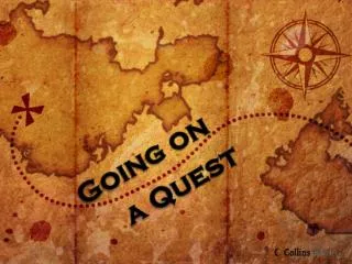
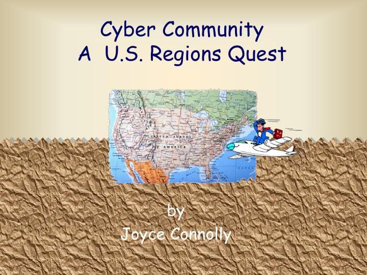
Cyber Community A U.S. Regions Quest. by Joyce Connolly. Introduction. It is the year 2020 and your class is setting up a new cyber community. It is the class' responsibility to find the best location in the United States to create this ideal community. Task.

E N D
Cyber CommunityA U.S. Regions Quest by Joyce Connolly
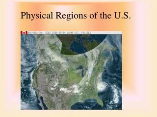
Introduction It is the year 2020 and your class is setting up a new cyber community. It is the class' responsibility to find the best location in the United States to create this ideal community.
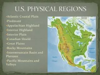
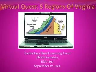
Task The class will be divided into five teams. Each team will be given a region of the United States. You will need to research the physical features, climate, natural resources, natural disasters, states and major cities in your region. West Middle West Southwest Southeast Northeast
The Process Each team will need to complete the following steps so that class can compare possible locations. On the first day your group needs to: Define the following terms: regionphysical features climatenatural resources natural disastersstate Brainstorm a list of: physical features natural resources natural disasters
The Process (pg2) Click on Land Information to print out a worksheet for researching data.Next click on Region Research Sheet and print the worksheet to collect information for your Excel spreadsheet. Record your information into the Excel spreadsheet. Write a paragraph detailing whether your region would have a suitable location for our cyber community. Make sure to give 3 reasons to support your opinion based upon the information you gathered. Find a place in your region that could support our cyber community. Name the state, the latitude and longitude, and the nearest major city.
The Process (pg3) • Create a PowerPoint Presentation to convince the class of the finer points of your region. • Create a travel brochure to represent your region. Click on Microsoft Publisher Brochure Instructionsto see how to use the software to create your brochure. • Create a map of your region showing: • the physical features • the natural resources • the states and the major cities • major attractions
Resources Books: World Tour Guide Book Regions Near and Far Atlas CDROM's: Groliers Encarta World Book
Resources Internet Sites: • States and cities: • http://www.yahooligans.com/content/ka/almanac/world/00014.html • http://www.nps.gov/parklists/TI_maps.htm • http://www.theus50.com/fastfacts.shtml • http://www.enchantedlearning.com/usa/statesbw/regions.shtml • http://www.enchantedlearning.com/usa/statesbw/ • Physical Features: • http://www.for.nau.edu:80/~alew/uslndfrm.gif • http://fermi.jhuapl.edu/states/maps1 • http://geonames.usgs.gov/pls/gnis/web_query.gnis_web_query_form • http://www.enchantedlearning.com/usa/statesbw/regions.shtml
Resources Natural Resources: • http://dir.yahoo.com/Regional/Countries/United_States/Regions/ • http://geonames.usgs.gov/pls/gnis/web_query.gnis_web_query_form Climates: • http://www.csuchico.edu/~donald/syllabi/Climatic_stndry.JPG • http://www.kapili.com/terrarum/climate • http://encarta.msn.com/encartahome.asp • http://www.cdc.noaa.gov/USclimate/states.scroll.html • http://weathereye.kgan.com/cadet/climate/climate.html Natural Disasters: • http://www4.ncdc.noaa.gov/cgi-win/wwcgi.dll?wwEvent~Storms • http://www.infoplease.com/ipa/A0001459.html • http://www.yahooligans.com/content/ka/almanac/disaster/index.html
Evaluation You will be evaluated using a Rubric. Some of the things you will evaluated on are: • writing a clear, detailed paragraph • creating a map that includes physical features,climate, natural resources, natural disasters,state and major cities • completing the spreadsheet by entering all necessary parts • completing the land information worksheet by answering all the necessary parts • working cooperatively within your group • documenting sources • presenting information to the class