Download
1 / 17
170 likes | 324 Views
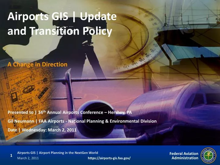
Airports GIS | Update and Transition Policy. A Change in Direction. Presented to | 34 th Annual Airports Conference – Hershey, PA Gil Neumann | FAA Airports - National Planning & Environmental Division Date | Wednesday: March 2, 2011. Why Did FAA Create Airports GIS?.

E N D
Airports GIS | Update and Transition Policy A Change in Direction Presented to | 34th Annual Airports Conference – Hershey, PA Gil Neumann | FAA Airports - National Planning & Environmental Division Date | Wednesday: March 2, 2011
Why Did FAA Create Airports GIS? • Federal mandates from the President and OMB • Executive Order 12906 (April 11, 1994) • OMB Circular A-16 (issued 2002; revised 2010) • Improve Efficiencies • Airports, FAA, consultants • Single, authoritative, accessible data source • Reduce Costs to all Stakeholders • Improve Safety • Increased need for real-time data accuracy • Support Next Generation of Air Transportation (NextGen) • A repository of airport information (not just survey data) • A true paradigm shift in the way we do business… in the right direction: it’s all about the data!
FAA | Air Traffic Organization (ATO) ATO owns and operates the National Airspace System (NAS) ATO needs accurate, safety-critical (runway ends, NAVAIDS, obstacles) data from airport operational environments LPV/WAAS efforts well underway (limited interest in non-operational airports data) ATO’s Office of Aeronautical Information Management (AIM) Tasked with building FAA’s data-sharing environment and infrastructure Initially developed Airports GIS and eALP Air Traffic -centric FAA | Office of Airports (ARP) FAA’s stewards of airports data ARP manages programming of funds for the Airport Improvement Program (AIP) and Passenger Facility Charges (PFCs) AIP funds must benefit airports (limited off-airport data collection boundaries) Currently develop Airports GIS (programming, survey/GIS standards, and policy) and the eALP module Airports (aka, Airport Sponsors) Communities own and operate airports Must meet FAA grant requirements If you’ve seen one airport… Airports GIS | Multiple Stakeholder Perspective Airports GIS The intriguing challenge of Airports GIS: complexity is added to system development, system ownership, and funding of data collection/maintenance because airport data-sets provide benefits that support differing operational missions within the FAA LOB’s (primarily ATO and ARP) as well as data needs of thousands of airports sponsors!
Airports GIS at a High Level Airports GIS I N P U T O U T P U T NFDC | eNASR data Survey Data Collection • Data Standards • Collection • Input Airports GIS Natl Flt Procedures data Remote Sensing iOE/AAA data AC150/ 5300-16,-17,-18 $ $ electronic ALP Module Ground Surveys eNOTAMs Module * Planning Module NAVAIDS records/data ** Aerial Photos Airport Design Module ** other modules Airport Planning 139 Inspections Module ** 5010/NASR Data * Misc Financial Modules ** Airport Ops | NOTAMS * Compatible Land Use Module ** Reduced Redundancy Misc Engineering Modules ** Data | Other Agencies ** Reduced Costs New Tech | LiDAR/GPS ** Misc Environmental Modules ** Data Transformation * In Development | ** Planned
Airports GIS will help airports by providing standardized data to support airport construction, land-use planning, environmental compliance, categorical exclusions, recording of NAVAID records, 3-D visualization, and integration into other GIS efforts (airport department-wide; local, State, and federal govt-wide) How valuable is your data? Think about how all airports data constituents currently reference and use geospatial data/maps related to: ARP’s View of Airports GIS Benefits and Challenges • Environmental/NEPA • Design review • Conformity to plans and specifications (as-builts) • Safety and construction phasing • Compliance/grant obligations • Compatible Land Use • Land acquisition • Grant review and approval • Project eligibility requirements • Master Plans/ALPs • Obstruction Evaluation (OE) Database/Airspace determinations • Runway Safety Area determinations • FAA’s funding challenge: AIP $ can only benefit airports • How far off the airport property should we collect data? • Will ATO allocate F&E funds for obstacles well beyond airport boundaries? • Who pays for maintaining the data? FAA? Airport? Both?
NextGen | Can you see the connection to Airports GIS data? OUTPUT I N P U T I N P U T Airports GIS
Airports GIS | End State Strategic Implementation Plan COLLECT CHECK STORE APPLY USE PUBLISH FAA LOBs Planning Module Airports GIS Airports Agencies Industry Other Modules MANAGE DATA COLLECTION SYSTEM DEPLOYMENT
Airports GIS | Reality/Today COLLECT CHECK STORE APPLY USE PUBLISH FAA LOBs Planning Module Airports GIS Airports Development/Deployment Perspective: ATMs; PCs; FAX; Internet; e-mail; mobile phones; Google Earth
Airports GIS | FY09-10 Accomplishments • Emphasis on Survey Standards (Advisory Circulars) and Airports GIS website • 800+ projects in the system (includes LPV/WAAS) • Airports GIS Programming (software, website, modules) • Completed electronic ALP proof-of-concept (Sept 2009) • Transitioned from AIM to ARP (Fall 2010) • Deployed -18B schema templates (DWG, DGN, and SHP) • Outreach (on-going) and Training • Deployed web-based training (IDLE), FAQs, and Airports GIS Help Desk • ACC, ACI, AAAE, FAA conferences and workshops • Initiated: external training (ACC); internal training (6 Regions by end of CY10) • Initiated robust data collection/input efforts • Phase I – 7 Airports (SW and SO Regions); Phase II – 30 Airports (All Regions) • Increasing emphasis on Airports GIS deliverable for all projects • AIP Grant/PFC requirement to incorporate on virtually all projects • Obstruction surveys, construction projects, noise contours, land acquisition • “Tiger Team” deployed to reduce data verification delays • Issued Working Draft Guidance (see National Planning Website) 06/24/10 • Draft Strategic Plan created and in review (includes preliminary BCA results) • Draft Transition Policy in review (target for implementation in Jan 11)
Airports GIS | FY2011 Priorities * Includes the updated Airports GIS Implementation Guidance (working draft) • Implement Transition Policy* in January and finalize the Strategic Plan • Business Case (and begin tie-in with other LOBs, starting with AIM) • Data Collection • Complete Phase I pilot program; marked progress on Phase II • Fund additional robust data collection projects at high priority locations • Address Growing Pains >>> see next slide • Streamline data verification process (review: plans; control; imagery; data) • Improve website software and project flow (project/partial vs. airport-centric) • Complete deployable eALP module precursors (programming; beta-testing) • Incorporate lessons learned from pilot projects into Advisory Circulars (for updating in FY2012) and programming • Outreach and Training (on-going) • Integrated Distance Learning Environment (IDLE) • Continue additional internal/external workshops and outreach efforts • Explanation of ROIs to airport community (from FAA field personnel) • Begin planning for resident training course at FAA Academy
Cost Drivers; Timing Airports GIS | Addressing Immediate Challenges COLLECT CHECK STORE APPLY USE PUBLISH Improved Web Portal FAA LOBs eALP beta Airports GIS Airports Transition Policy (for all Airport categories) Enhanced data verification process
Airports GIS Transition Policy | Premise Airports GIS ACs were applied too broadly too quickly • Estimated 4,000 projects per year (staff is already very busy) • One size of requirement does not fit all project types • Industry and FAA have a steep learning curve • Airports GIS system and processes not ready to handle demand • ACs have kinks that need to be worked out Transitioning is the key to realizing program (and NextGen) benefits • Program requirements need to be transitioned in practically • Phased in to airports by size and relevance to NAS • Enforce compliance as appropriate by project • Improve awareness, education and support
Transition Policy* | Immediate Steps * issued (with and within updated Airports GIS Implementation Guidance) on January 14, 2011 • During the transition period, if a survey is required for a project involving safety-critical data, ACs 150/5300-16, -17, and -18 must be used • Any change to safety critical data: new/lengthened runways, procedure design, obstruction analysis • Master Plan updates (which requires an eALP) • Obstruction surveys to develop new or change existing instrument approach procedures • For other projects not involving safety-critical data, airports must incorporate Airports GIS requirements on the following schedule: • Large/Medium Hubs: Now (FY 2011)* • Small/Non Hubs: 1 year (FY 2012) • Top Non Primary: 2 years (FY 2013) • Middle Tier GA: 3 Years (FY 2014) • Lower Tier GA: 4 Years (FY 2015) • If a survey is not required, project deliverable data must be submitted in paper format, at a minimum, as acceptable to the FAA (in other words: the way we operate for these projects today) • Airports are encouraged to initiate their transition to Airports GIS in advance of the timelines set forth above, as appropriate
Looking Forward | eALP Transition End State Today Near Term 2011-2012 2012-2015 2015 + • Airports GIS data collection and submittal • Sponsor/FAA access to data through Airports GIS • Legacy ALP (paper or PDF) • Legacy ALP coordination and approval process • Airports GIS data collection and submittal • Sponsor/FAA access to data through Airports GIS • Electronic Signatures (submittal and approval) • eALP (geo-referenced PDF) with legacy ALP review and approval process • Airports GIS data collection and submittal • Sponsor/FAA access to data through Airports GIS • Electronic eALP submittal • Electronic eALP review and approval through Airports GIS • Geo-referenced PDF (for use outside Airports GIS) Limited e-Capability Increasing Efficiency Optimized Efficiency
Lessons Learned / Using Airports GIS | DFW Airport • Airports GIS Pilot Program: Dallas / Fort Worth International Airport (DFW) DFW: LIVE Parking Status DFW: Flight Track Analysis
Lessons Learned / Success Story | Harlingen, TX Airports GIS Pilot Program Success Story: Valley International Airport • Typical Airport Deputy Director • Project Cost Estimates vs. Actual • Initial FAA Estimates: $50K-$100K per runway end • Much less expensive after first project • HRL Budget was $630K (6 runway ends) • 30% for non-obstruction data collection • 23% for existing data conversion • 20% to assemble and test electronic ALP • 18% for obstruction survey and airport airspace analysis • 09% for travel, production, miscellaneous costs • Actual project costs came in at approximately 65% of estimate • Immediate use / benefit (Boeing 787) • Additional tools request to consultant (SAAMS)
Thank You: Questions Welcome! Upcoming Workshop Airport Consultants Council Airports GIS Workshop April 3-4, 2011 | Kansas City http://www.acconline.org/