Download
1 / 3
30 likes | 176 Views
Experts in enhanced 3D visualization, 3D simulation modeling and 3D imaging MAPPING/GIS SOFTWARE AND MODELING OF SATELLITE IMAGERY FOR REAL-TIME FLOOD MONITORING, COASTLINE MONITORING AND URBAN PLAN REBUIDING. Synthosys 1 Federal Street L3 Ops Communications Bldg - ACIN Camden, NJ 08103

E N D
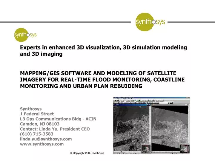
Experts in enhanced 3D visualization, 3D simulation modeling and 3D imaging MAPPING/GIS SOFTWARE AND MODELING OF SATELLITE IMAGERY FOR REAL-TIME FLOOD MONITORING, COASTLINE MONITORING AND URBAN PLAN REBUIDING Synthosys 1 Federal Street L3 Ops Communications Bldg - ACIN Camden, NJ 08103 Contact: Linda Yu, President CEO (610) 715-3583 linda.yu@synthosys.com www.synthosys.com
APPLICABLE AREA: GEOLOGICAL VISUAL MAPPING OF AFFECTED AREA(S) DERIVED FROM CURRENT SATELLITE IMAGERY OR OTHER VISUAL IMAGERY THAT CAN BE USED FOR REAL-TIME MONITORING OF COASTLINE, RECEDING WATER LEVELS, URBAN SCENES OR OTHER TERRAIN BASED VISUAL SCENES WHERE THE STATUS OF EFFORTS IN PROGRESS OR IN PLANNING MAY BE ANALYZED AND RESPONDED TO IN A MORE TIMELY MANNER. PROPOSED USE: VISUAL TOOL TO MODEL THE CURRENT A REAL-TIME STATUS OF THE TARGETED GEOLOGICAL SITE FOCUS AREA. REAL-TIME MONITORING AND ANALYSIS ALLOWS FOR EXPEDIENT AND TIMELY RESPONSE TO EFFORTS IN PLACE (WATER DRAINING PLANS, EFFECTS OF LEVY RE-BUILD, EFFECTS OF FUTURE URBAN REBUILDING, NATURAL COASTLINE TRACKING). TOOL MAY THEN ALSO BE USED AS A BASE FOR “WHAT IF” FUTURE IMPACTS ANALYSES MODELING TOOL. MULTIPLE VISUAL AND DATA INPUTS CAN BE COMBINED OR FUSED IN THE MODEL TO MEASURE ACTUAL AND POTENTIAL OUTCOMES. ADDITIONAL VISUAL AND ANALYTIC TOOLS PROVIDE BETTER, MORE RELEVANT REAL-TIME DECISION DATA FOR MORE EFFECTIVE AND TIMELY PLANNING, EXECUTION AND RESPONSE. ENVIRONMENT REUIQRED: SOFTWARE TOOL RUNS ON A PC AND CAN BE CUSTOMIZED WITH API TOOLS FOR TARGETED USE BASED ON PLANNING NEED. SOFTWARE SEAT IS LESS THAN 2K. WORK CAN BEGIN TODAY USING EXISTING SATELLITE IMAGERY. OFFER: SERVICES OR PRODUCT IMMEDIATELY AVAILABLE (SOFTWARE IN USE IN 60 COUNTRIES). SYNTHOSYS PROPOSES TO OFFER DIRECT TURN KEY SUPPORT SERVICES TO THOSE REQUIRING THE SUPPORT, OR CAN PROVIDE THE (PC) TOOLS FOR USE BY OTHERS. SPECIALIZED DISPLAYS CAN ALSO BE PROVIDED.
(PRODUCT BACKGROUND – SOFTWARE ONLY – MODELING COMPONENTS CUSTOM) R2v a powerful raster to vector conversion. R2V combines the power of intelligent automatic vectorizing technology with an easy-to-use, menu-driven, graphical user interface in the Microsoft Windows environment. The software converts scanned maps or images to vector formats for mapping, geographic information systems (GIS), CAD, and scientific computing applications. The system is easy to use and can be learned quickly by users with any level of technical background. R2V provides an easy and complete solution to digitize vector data from image sources, such as scanned maps and drawings, aerial photos, and satellite imagery. Efficient and accurate, a typical contour or parcel map scanned at 200 DPI (dots/inch) as black and white or grayscale can be vectorized in seconds or minutes on a Pentium PC. Some software features include: SPOT satellite image format is supported. Natural source images, such as aerial photos and color satellite images, can be automatically classified or segmented to generate region or boundary maps, all in R2V. Advanced image processing functions available include image warp or registration, image mosaic, color classification and separation, and many more to handle different types of images. Imagery inputs can be stored in layers for more effective planning dependent on planning need. With R2V's editing functions, users can easily update and label and geo-reference data. 3D displays of the data using 3D image draping or other 3D enabling techniques can be used. Geo-Referencing Using GeoTIFF or Control Points Soil map or Flood map digitizing Map merging and selective points of interest modeling