Download
1 / 14
140 likes | 290 Views
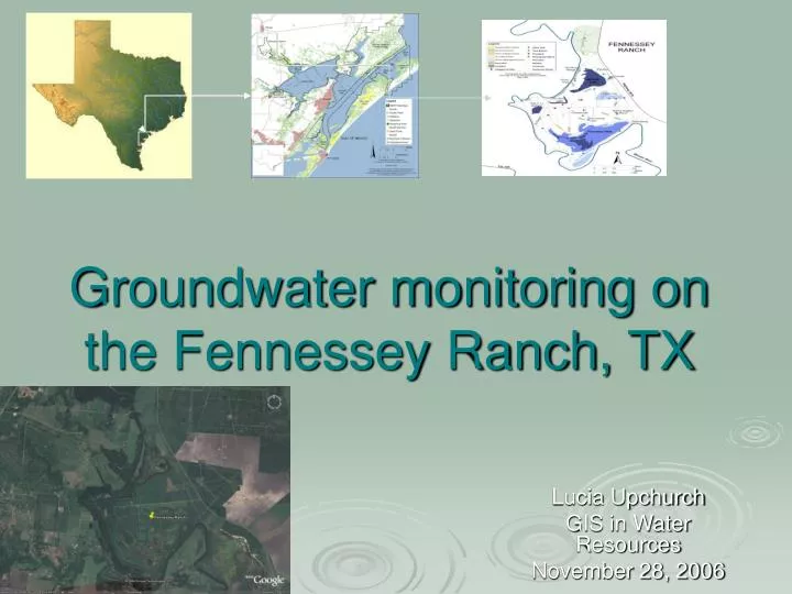
Groundwater monitoring on the Fennessey Ranch, TX. Lucia Upchurch GIS in Water Resources November 28, 2006. Fennessey Ranch. Part of the newly designated MANERR 3,324 acre Ranch 10 artesian wells on property 4+ TWDB groundwater wells in or nearby. Goals.

E N D
Groundwater monitoring on the Fennessey Ranch, TX Lucia Upchurch GIS in Water Resources November 28, 2006
Fennessey Ranch Part of the newly designated MANERR 3,324 acre Ranch 10 artesian wells on property 4+ TWDB groundwater wells in or nearby
Goals • Extract precipitation (in progress)/surface flow data • Examine preliminary data from Fennessey Ranch • Examine potential recharge and discharge in this aquifer • Correlate surface and groundwater flow (not completed)
Data Sources • DEM: http://seamless.usgs.gov • NHDplus: Rae Mooney, Tyler Jantzen • MANERR base maps: Sally Morehead • Land Cover: National Landcover Dataset 1992; http://seamless.usgs.gov/website/seamless/viewer.php • Texas Water Development Board database: http://www.twdb.state.tx.us/mapping/gisdata.asp • Fennessey Ranch shapefile: created with help of Tyler McEwan • Texas General Land Office: hydrography; http://www.glo.state.tx.us/gisdata/gisdata.html • Fennessey Ranch Wells: Chip Breier
DEM Catchment delineation Flowline delineation Close-up of Fennessey Surface Flow: Watershed delineation using Terrain Preprocessing 1 2 3 4
Factors affecting surface/groundwater interaction: • Land Cover (primarily pasture, herbaceous wetlands, and shrubland) • Soil moisture capacity (in progress) • Precipitation/weather downloader (in progress)
Preliminary Fennessey Ranch data courtesy of Chip Breier Well location, as well as nutrients, discharge rate, salinity, and radium isotopic data
Radionuclides- useful for Groundwater flow/Groundwater Discharge/Recharge
Radium in Fennessey Wells • Higher salinity should increase all Ra • Big bubbles= more saline • Ra-228/Ra-224 should be in equilibrium (1:1) • Ra-228/Ra-224 show similar patterns
Radium, cont’d • Showing same trend with salinity • Not completely linear (removal process at highest point?) • Can be useful in estimating groundwater discharge and recharge • Average recharge rate for this aquifer is 0.01-3.0 mm/yr (http://www.twdb.state.tx.us/Gam/resources/resources.htm)
Future Goals Short Term • Precipitation • Soil cover/moisture capacity • TWDB Long Term • Monitor salinity, nutrients, radium • Study discharge/recharge of aquifer • Look at nutrient levels to establish input to Copano Bay
Questions? Comments? • Thanks to all who helped me!