Download
1 / 9
90 likes | 215 Views
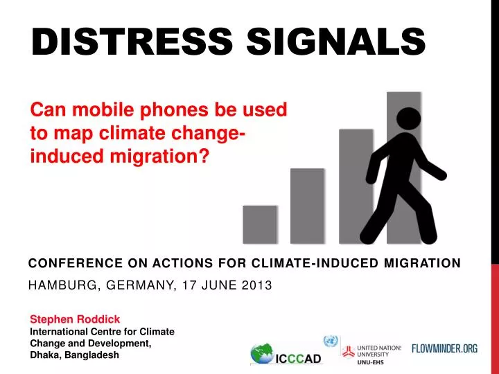
Distress Signals. Can mobile phones be used to map climate change -induced migration?. Conference on Actions for Climate-Induced Migration Hamburg, Germany, 17 June 2013. Stephen Roddick International Centre for Climate Change and Development, Dhaka, Bangladesh.

E N D
Distress Signals Can mobile phones be used to map climate change-induced migration? Conference on Actions for Climate-Induced Migration Hamburg, Germany, 17 June 2013 Stephen Roddick International Centre for Climate Change and Development, Dhaka, Bangladesh
“Human mobility extends in the spatial domain from local travel to international migration, and in the temporal dimension from short-term stays to permanent relocations... • Classification and measurement of such phenomena is inevitably complex.” • Martin Bell and SalutMuhidin, • ‘Cross National Comparisons of Internal Migration’ • UNDP, 2009
How can we use mobile phones to map human mobility? • Manual collection and communication • Crowd-sourcing via SMS • Smart phone applications • GPS mapping • Bluetooth scanning • Statistical analysis of charging data records (CDRs)
Statistical analysis of Charging Data Records (CDRs) Receiving phone Sending tower Sending phone Receiving tower Duration Type of call Time of call
Humans are predictable • Home • Work • Friends & Family
How do climate change impacts affect mobility patterns? • Short-term: flooding and cyclones • Meso-term: Changing weather patterns • Long term impacts: sea-level rise • agriculture, fisheries, health 20%
How can we use mobile data to map climate change-related migration? 20% 20% 20% 20% • Compare differentially affected populations • Scale-up to community-level • Radius of gyration • Monitor mobility patterns over time 20% 2 Years 5 Years 10 Years
Differential ownership and usage • Limitations of the methodology • Obtaining data • Privacy • Scale • Accuracy • Building on existing data sources • Forecasting Challenges Opportunities
Thank you • Stephen Roddick • steveroddick@gmail.com • International Centre for Climate Change and Development (ICCCAD), Dhaka, Bangladesh • Dr. David Wrathall • david.wrathall@gmail.com • Institute for Environment and Human Security • at UN University (UNU-EHS), Bonn, Germany