Download
1 / 29
300 likes | 307 Views
Geospatial Future Trends. Leveraging Sensor Technology. Active Sensors LiDAR and energized laser beams Multi-beam and high energy sonar pulses Passive Sensors Multi-spectral sensors (red, green, blue, near-infrared bands)

E N D
Leveraging Sensor Technology • Active Sensors • LiDAR and energized laser beams • Multi-beam and high energy sonar pulses • Passive Sensors • Multi-spectral sensors (red, green, blue, near-infrared bands) • Hyperspectral sensors (electromagnetic radiation outside visible spectral range) • Thermal sensors (temperature signatures)
Typical Configurations • 1-foot pixel – 10,000 feet • 6-inch pixel – 5,000 feet
6-inch resolution THE POWER OF DATA ENHANCED PHOTOGRAMMETRY
What if? • Reduce the number of flight lines? • Increase the altitude?
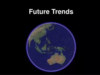
The future of geospatial technology is . . . . Better Imagery
eGIS for Cities and Public Utilities • Infrastructure Management • Operations and Maintenance • A location-based approach to managing your water-wastewater utilities helps you meet operational challenges.
St. Louis ● Kansas City ● Milwaukee ● Indianapolis ● Chicago ● Omaha Trends in GIS Data Collection
Mobile Mapping Capture GIS Data at “Highway Speed”
Scalable GPS units Subfoot to Centimeter
The New ParadigmGIS for Tomorrow-”Dynamic GIS” Bill Walker Regional Sales Manager: Mid-West Region 26
The World is Changing Tuscaloosa, Alabama – April 27 2011 190 mph winds. 1.5 mile wide path of destruction. Path of 80.3 miles. 61 dead.
The Hexagon Approach “Our rationale is to provide the entire measurement cycle and deliver real-time information to our customers about their business and associated activities” Ola Rollen President and CEO – Hexagon AB 28
The Geospatial Ecosystem Data Data Users & Consumers Field Mapping & Update Airborne Sensors Intranet/Internet Satellite Sensor Data Information Products Web Services GIS Photogrammetry IT Data Data Terrestrial Sensors Server CAD Engineering Utilities Remote Sensing Spatial Database Geo-Portals