Download
1 / 13
130 likes | 199 Views
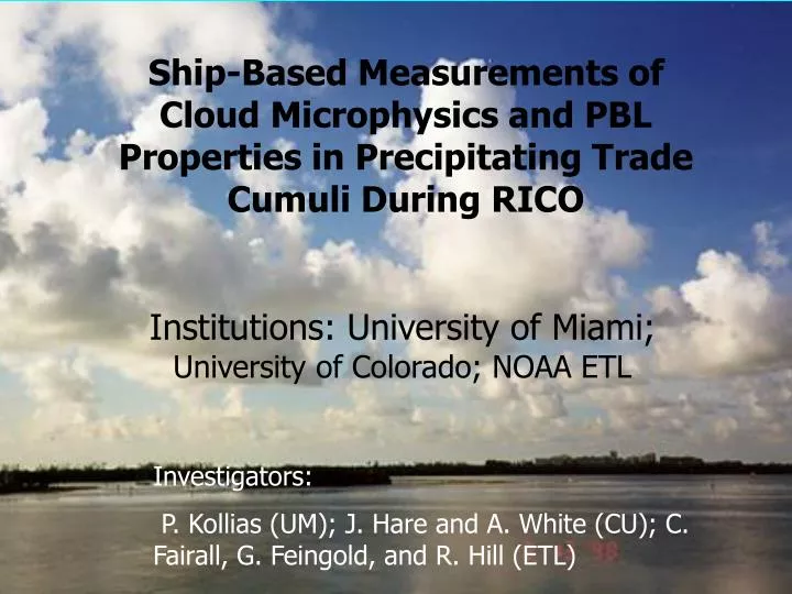
Ship-Based Measurements of Cloud Microphysics and PBL Properties in Precipitating Trade Cumuli During RICO. Institutions: University of Miami; University of Colorado; NOAA ETL. Investigators: P. Kollias (UM); J. Hare and A. White (CU); C. Fairall, G. Feingold, and R. Hill (ETL).

E N D
Ship-Based Measurements of Cloud Microphysics and PBL Properties in Precipitating Trade Cumuli During RICO Institutions: University of Miami; University of Colorado; NOAA ETL Investigators: P. Kollias (UM); J. Hare and A. White (CU); C. Fairall, G. Feingold, and R. Hill (ETL)
Understanding the Dynamics and Microphysics of Small Cumuli and Precipitation Onset
Scientific Questions to Be Addressed • What is the range of the dynamical and microphysical structures in trade-wind cumuli, and how do these structures affect the lifecycle of clouds under varying wind shear, stability, and aerosol conditions? • What microphysical / dynamical factors and time scales are involved in the production of large-drop concentrations in fair-weather cumulus clouds? • How do the raindrop size distributions evolve from the initial to mature precipitating stages of shallow cumuli?
Scientific Questions to be Addressed • How is the marine boundary layer altered by precipitation from trade-wind cumuli? • What are the statistical properties of precipitating trade-wind cumuli from the cloud to mesoscale scale?
Approaches • Coordination with Surface-Based Radars and Aircraft and Integration of Observations • Continuous Monitoring for Cloud Statistics • Intensive Process Studies • LES Studies
Ship-Based Radars • 915-MHz wind profiler--PBL 3-D winds, inversion height, cloud and precipitation structure • 9.4 GHz Doppler Radar (upward pointing)—Reference reflectivity; Doppler spectra • 35 GHz Scanning Doppler cloud radar—Reflectivity and Doppler moments; Cloud mapping and microphysical properties; precipitation mapping • 94-GHz Doppler radar (stabilized/scanning)--High resolution Doppler spectra; cloud and precipitation microphysics
Dynamical and Microphysical Structure of Trade-Wind Cumuli Bragg “halo”, W-band cloud boundaries • Boundary Layer/Cloud Characterizations • Inversion Height • Horizontal wind • Bragg/Rayleigh scattering • Updrafts/Downdrafts • Entrainment 915-MHz wind profiler (SNR) Updraft-Downdraft structures
Large drop Formation in Trade-Wind Cumuli High resolution data from NOAA/K (4 /sec) Detection of large drop production Doppler spectrum width from W-band
Raindrop DSD evolution in early precipitation stages X-band Doppler spectra • W/X dual wavelength precipitation retrievals • X-band reflectivity (cloud top, morphology) • W-band Mie scattering, Doppler spectra • Vertical air motion (within 5 cms-1) • DSD retrieval if Dmax > 1.7 mm Differential reflectivity and mean Doppler W-band Doppler spectra
Cloud Scale to Mesoscale Radar data collection at the highest of temporal and spatial resolution are expected providing a detail 2-D or 3-D mapping of cloud entities The NOAA/K scanning radar is expected to sample a 60-100 km swath around the ship providing the link between the individual cloud observed overhead and the mesoscale organization of precipitating and non-precipitating trade-wind cumuli. Despite strong gaseous attenuation in a tropical environment (0.5 dB/km) we anticipate that the NOAA/K will be able to observe “first rain echoes” (-5 to 0 dBZ) at 50 km range.
Observing Strategies and Coordination with Other RICO Observing Systems • Aircraft • Surface-Based Radars
UM Cloud and Precipitation Mobile Observatory • UM W-band Doppler radar • Frequency: 94.2 GHz (wavelength = 3.19 mm) • Antenna: 0.91 m, Cassengrain • 0.24o beamwidth (8-10 m at 1 km range) • Vertical resolution: 30 m, Temporal Resolution: 0.5 -1 sec • PRF: 5-10 kHz (4-8 ms-1) Nyquist • Doppler spectra, raw I/Q • Sensitivity: -52 dBZ @ 1 km • UM X-band Doppler radar • Frequency: 9.4 GHz (wavelength = 3.2 cm) • Antenna: 2 m, Cassengrain • Vertical resolution: 60 m, Temporal Resolution: 0.5 -1 sec • PRF: 1-2.5 kHz (8-20 ms-1) Nyquist • Doppler spectra, raw I/Q • Sensitivity: -25 dBZ @ 10 km Ceilometer Broadband radiometers IRT Surface Met. Rain gauge ** NOAA/ETL 2 channel Microwave Radiometer