Download
1 / 20
200 likes | 270 Views
Watches, Warnings and Wind on February 11, 2009. National Weather Service Partners Workshop June 25, 2009. Ken Reeves Director, Forecasting Operations AccuWeather, Inc. 814-235-8751 Reeves@accuweather.com. Brief Weather Setup. Large synoptic storm moving through the Midwest

E N D
Watches, Warnings and Wind on February 11, 2009 National Weather Service Partners Workshop June 25, 2009 Ken Reeves Director, Forecasting Operations AccuWeather, Inc. 814-235-8751 Reeves@accuweather.com
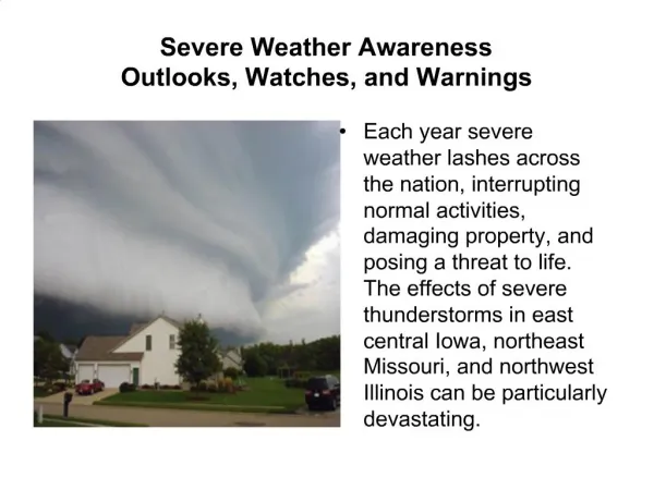
Brief Weather Setup • Large synoptic storm moving through the Midwest • Lifting warm front and aligned winds • Strong 500mb low and cold front
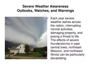
NWS Products Issued • High wind warnings out for most locations east of the Mississippi for February 11th • Wind warnings extended to East Coast in wake of front February 12th • 7 severe weather watches issues • Many severe weather warnings issued -- offices averaging 10 to 30 -- most tornado warnings through mid-afternoon
The Outcome • Three tornadoes reported • 335 wind report to SPC of which 18% had verified wind speeds reaching severe criteria • Damage continued February 12th but no wind reports to SPC • Strongest winds in the wake of the cold front • Wind increase upon arrival of precipitation/cold front generally 10 to 30% higher than pre-frontal synoptic winds
Items For Consideration • User confusion • Tornado fatigue (watch/warn) • Another hurricane eye wall warning problem • Optimizing for effective delivery • Large short fuse warnings areas in a storm warning environment • “Severe” weather reports http://nws.met.psu.edu/severe/2009/12Feb2009.pdf
Watches, Warnings and Wind on February 11, 2009 National Weather Service Partners Workshop June 25, 2009 Ken Reeves Director, Forecasting Operations AccuWeather, Inc. 814-235-8751 Reeves@accuweather.com