Download
1 / 10
100 likes | 182 Views
Visiting Government Agencies and NGOs. By: Mac Chapin. Unit: M07U04. The dual nature of maps. Participatory map making: can be perceived as a “tool” and/or as a “weapon”; embodies “technical” and “political” actions;

E N D
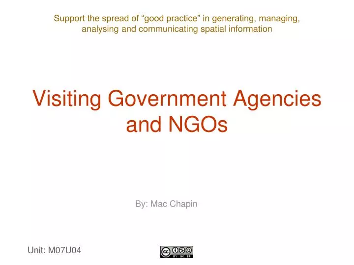
Visiting Government Agencies and NGOs By: Mac Chapin Unit: M07U04
The dual nature of maps • Participatory map making: • can be perceived as a “tool” and/or as a “weapon”; • embodies “technical” and “political” actions; • raises red flags with government agencies because it is often perceived as threatening.
The dual nature of maps • The “political” nature of maps surfaces when they are used to: • claim or defend land; • consolidate political power; • assert rights on resources; • support communication; • take control of real estate.
Empowerment • Maps may empower those who produce and possess them • How to present the idea of participatory mapping to government agencies?
Smart strategies • Prepare the ground, study the institutional framework and strategise. • Prepare a communication strategy. • Seek collaboration with the government mapping agencies.
Preparatory work • Make a thorough assessment of the government agencies and key NGOs that may work on similar issues (conduct a document search). • Elaborate key messages and action points to introduce the mapping project to these institutions. • Make initial contacts and discuss general themes. • Make a face to face assessment of the likely standing of the institution regarding the issues at stake.
Collaboration with the national mapping agency • In many countries, the most skilled, experienced cartographers work for the government. • Government cartographers generally have access to exclusive information. • Using government employees on the project team gives the project: • an “official” seal of approval; • more credibility in the eyes of the government, which is an asset when the maps are produced.
Approach to visits • Tailor presentations to the recipient institution. • Keep the presentation as technical as possible. • Provide positive examples of using maps. • Avoid raising sensitive agendas, such as claiming land rights or blocking the entrance to extractive enterprises. • Stress that there is a need for good, accurate data as a basis for fruitful exchanges.
Approach to visits • Call attention to the fact that maps: • may be useful in addressing disputes over natural resources; • may contribute to planning and environmental education programmes; • facilitate discussion rather than confrontation. • Obtain written permission from key government agencies.
Conclusions • The keys for success in dealing with external institutions are: • tailored entry strategies; • transparency in the process; • involving national cartographic agencies; • maintaining contacts with government agencies.