Download
1 / 12
120 likes | 208 Views
Salish Kootenai College faculty development and student internships (unsolicited grant proposal under review) Bureau of Indian Education high school teachers workshop (July 2009). 1B. Research Experiences for Students Under-represented in Earth and Space Science.

E N D
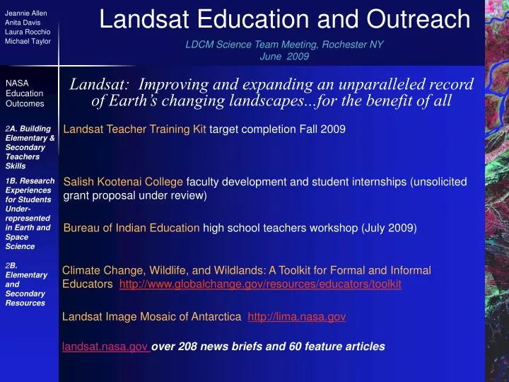
Salish Kootenai College faculty development and student internships (unsolicited grant proposal under review) Bureau of Indian Education high school teachers workshop (July 2009) 1B. Research Experiences for Students Under-represented in Earth and Space Science Landsat Teacher Training Kit target completion Fall 2009 2A. Building Elementary & Secondary Teachers Skills 2B. Elementary and Secondary Resources Climate Change, Wildlife, and Wildlands: A Toolkit for Formal and Informal Educators http://www.globalchange.gov/resources/educators/toolkit Landsat Image Mosaic of Antarcticahttp://lima.nasa.gov landsat.nasa.govover 208 news briefs and 60 feature articles Landsat Education and Outreach Jeannie Allen Anita Davis Laura Rocchio Michael Taylor LDCM Science Team Meeting, Rochester NY June 2009 Landsat: Improving and expanding an unparalleled record of Earth’s changing landscapes...for the benefit of all NASA Education Outcomes
Purpose Actively foster collaborative work between the science and interpretation/education communities of NPS, USFWS and NASA. Ultimately enrich the experiences of millions of park and refuge visitors. Audience Interpreters, Education specialists and environmental educators in National Parks, Wildlife Refuges and similar organizations, whose audiences in turn include the public and classroom educators. Project Category 3A. Earth & Space Science: Informal Education Resources 3B. Earth & Space Science: Building Informal Educator Skills EARTH to SKY an innovative partnership Distribution Mechanism Series of professional development workshops, project website, distance learning events, follow-up telecoms, monthly newsletter, and presentations at professional conferences.
Earth to Sky III: Interpreting Climate Change January 2009 National Park Service’s Mather Training Center and NASA Goddard Space Flight Center Results 29 Participants(NPS, USFWS, CA State Parks, Cleveland Metro Park Zoo) 9 NPS facilitators, 26 NASA presenters (19 scientists, 7 E/PO) 22 Parks,3 USFWS Sites2 NPS Regional Offices, USFWS & NPS National Level Training Leadership Over 179 informal educators trained by participants, based on ETS III content Live presentations: over 1,433 visitors Indications of developing community of practice with NASA and John Morris (NPS lead on ETS) in center of hub • Selected Action Plans: • Use of the Landsat 30-year record in • western parks for public programs, a • site bulletin, and a podcast • Climate change “traveling trunk” for • use in classrooms • Public outreach campaign at a leading • zoo–extending to 2011 • Major projects under development: • Podcast series (lead by Glacier NP) • Jr. Ranger project (Biscayne and others) Data from evaluation team’s monthly feedback, and analysis of community of practice through mid April
Building Climate Literacy for Informal Educators: Expanding the Earth to Sky Partnership (NASA ROSES funded) PI Anita Davis, SSAI, Landsat E/PO; Co-Investigator John Morris is NPS leader on climate change training, and an alumnus of all ETS efforts Returning leadership and facilitators from previous ETS efforts USFWS and NPS training leadership Lead evaluator Dr. TNASA Science advisors: Dr. Peter Hildebrand and Dr. Peter Griffith Theresa Coble, Stephen F. Austin University Year One: One week workshop Mather Training Center (February 2010) Year Two: Distance learning Year Three: Develop and run course at USFWS National Conservation Training Center (September 2012)
NSF DUE-0703185 Integrated Geospatial Education and Technology Training (iGETT) Program/Purpose:3 years of professional development to enable integration of remote sensing with existing GIS programs, for model program development to serve specific workforce needs Audience: 40 Two-year college faculty from nationwide pool Content: federal remote sensing data for agriculture, disaster management, and environmental sciences Dissemination: nationwide through presentations at conferences, and on-line for other colleges interested in following iGETT models and lessons learned (http://igett.delmar.edu) Evaluation: South Carolina Advanced Technical Education (SCATE) 1D. Earth and Space Science Resources for Higher Education Partners: NCGE; Del Mar College; ESRI; USGS; SSAI
iGETT participants -- • take part in two consecutive Summer Institutes at Del Mar College in Corpus Christi, TX to learn remote sensing, GIS, and other geospatial technologies; workforce applications; and program development • develop their own strategic plans to meet the specific needs of their institutions and communities • receive further enrichment, mentoring, and communications during the academic years, developing a community of practice • develop their ownLearning Units that integrate remote sensing, GPS, GIS, and other technologies, to cover at least two weeks of class time, publicly available -- as are all Institute training resources • disseminate model programs and lessons learned at regional and national conferences
Partners • National Council for Geographic Education, Osa Brand, Education Outreach Lead, PI • Del Mar College, Phil Davis, Faculty, Co-PI • Environmental Systems Research Institute (ESRI), Ann Johnson, Higher Education Lead, Co-PI • Science Systems and Applications, Inc. at NASA GSFC, Jeannie Allen, Co-PI • U.S. Geological Survey Land Remote Sensing Program, Rachel Headley, Co-PI Osa Brand, PI • Contributors • ITT Visual Information Solutions: Software and training • American Society for Photogrammetry and Remote Sensing (ASPRS: Membership tol review faculty strategic plans for their success in addressing workforce needs ASPRS Executive Director Jim Plasker
Proposal to NSF, Oct 2010 Integrated Geospatial Education and Technology Training (iGETT)-2 • Program Activities: • Development of 4 occupational analyses, back-mapped from workforce tasks in agriculture, disaster management, environmental sciences, and urban planning through well-tested “DACUM” process, and from them –– • Development of Core Competencies for the Remote Sensing Technician vetted with professionals in industry and government at a national scale • Professional development for 60 community college faculty and 12 high school teachers using materials developed by iGETT-1. Participants will be better able to help their students meet workforce needs for integration of geospatial technologies, and will learn how to conduct best-practice workshops in geospatial technology for other faculty.
Participants: 72 two-year college faculty and high school teachers from nationwide pool. Core Competency development to involve a wide network of remote sensing professionals in industry and government. Content: federal remote sensing data for agriculture, disaster management, environmental sciences, and urbanization Dissemination: nationwide through presentations at conferences, and on-line for other colleges interested in following iGETT models and lessons learned (http://igett.delmar.edu) Evaluation: South Carolina Advanced Technical Education (SCATE)
Project Team • National Council for Geographic Education, Osa Brand, Education Outreach Lead, PI • Ridge GeoTech, Christine Lewis, Co-PI • National Geospatial Technology Center, Ann Johnson, Co-PI • Science Systems and Applications, Inc. at NASA GSFC, Jeannie Allen, Co-PI • U.S. Geological Survey Land Remote Sensing Program, Rachel Headley, Co-PI Field Work, iGETT-1, 2008 • Contributors • American Society for Photogrammetry and Remote Sensing (ASPRS) • ESRI • ITT Visual Information Solutions • National Aeronautics and Space Administration (NASA) iGETT-1 Staff, 2008