Download
1 / 33
330 likes | 435 Views
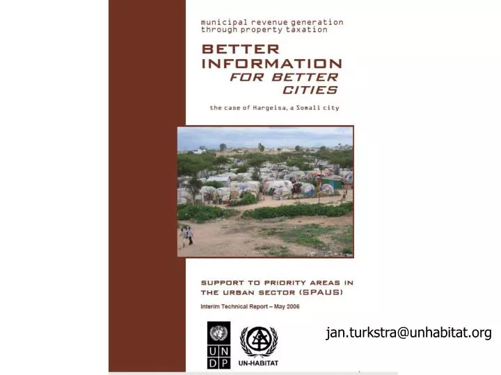
jan.turkstra@unhabitat.org. Location of Hargeisa. Civil War Effects. Bullet-ridden derelict buildings. Internal Displaced Persons. Information: How to create? How to use?. EUROPEAN COMMISSION. Spatial Information for Property Taxation

E N D
Civil War Effects Bullet-ridden derelict buildings Internal Displaced Persons
Information: How to create? How to use? EUROPEAN COMMISSION
Spatial Information for Property Taxation Use of Geographical Information Systems and Satellite Images 1000 GIS Cities Programme (ESRI – UN-HABITAT)
The rich are also living in poorly serviced neighbor-hoods but are capable of paying taxes
SpatialData Information (GIS) Attribute Data
Property Digitization Footprint of the buildingSpatial accuracy moderate to lowAll attribute data, including building size collected in the fieldMap for orientation and verification only
Type of Properties Formal Formal Informal (semi-permanent) Informal (Temporary)
Property Coding System Example • District 26 June • Sub-district Gol-Jano • Neighborhood (BTJ) Gol-Jano B • Sub-neighborhood nr 10 • Property Number nr 029
Generation of thematic maps, e.g. land use for all the 59,000 buildings