Download
1 / 13
150 likes | 369 Views
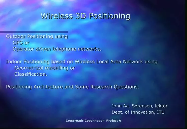
Wireless 3D Positioning. Outdoor Positioning using GPS or Operator driven telephone networks. Indoor Positioning based on Wireless Local Area Network using Geometrical modelling or Classification. Positioning Architecture and Some Research Questions.

E N D
Wireless 3D Positioning Outdoor Positioning using GPS or Operator driven telephone networks. Indoor Positioning based on Wireless Local Area Network using Geometrical modelling or Classification. Positioning Architecture and Some Research Questions. John Aa. Sørensen, lektor Dept. of Innovation,ITU Crossroads CopenhagenProjectA
Systems for Outdoor Positioning I Outdoor Positioning based on Global Positioning System (GPS) Satellites or Operator driven Mobile Phone Networks. Position estimation is based on triangulation. The position is determined based on knowledge of distances to at least 3 known positions. The distances are estimated from time measurements. Crossroads CopenhagenProjectA
Systems for Outdoor Positioning II Outdoor positioning by Global Positioning System (GPS): Developed by US Department of Defense (DoD). Basic architecture was approved in 1973. First satellite was launched in 1978. System was declared operational in 1995. Cost of development is approx. $10 billion. Annual operation and maintenance approx. $ 400 mill. Ref. [1] Special Issue on: "GPS The Global Positioning System". Proceedings of the IEEE, January 1999. Crossroads CopenhagenProjectA
Systems for Outdoor Positioning III Outdoor positioning by Global Positioning System (GPS): Satellites move 4 km/sec. Their positions in space are estimated within a few meters, based on predictions made 24 hours earlier. 24 satellites in near circular orbits with radius 26.560 Km. Frequency bands L1: 1575.42 MHz, L2: 1227.6 MHz Precision is approx. 10 m RMS, cf. ref. [1] Ref. [1] Special Issue on: "GPS The Global Positioning System". Proceedings of the IEEE, January 1999. Crossroads CopenhagenProjectA
Systems for Outdoor Positioning IV Using operator driven Mobile Phone Networks. GSM (Global System for Mobile Communication) system. Frequency bands at 900 MHz or 1800 MHz. Measure the time differences between base stations. Use that in the triangularization, knowing the positions of the base stations. Crossroads CopenhagenProjectA
Systems for Indoor Positioning I GPS is not sufficient for indoor positioning. The indoor environment of a building using WLAN: Multipath propagation of the electromagnetic waves. Using a Wireless Local Area Network (WLAN) there are two fundamentally different approaches, based on Geometrical Modelling, or on Classification. [2] Kaveh Pahlavan et al. "Indoor Geolocation Science and Technology". IEEE Communications Magazine, Feb. 2002. Crossroads CopenhagenProjectA
Systems for Indoor Positioning II Classification based approaches using IEEE 802.11b WLAN. (11Mbit/sec). Carrier frequency in the ISM band at 2.4 GHz. Ekahau Positioning System www.ekahau.com ref. [3]. ROVER at CMU ref. [4]. RADAR at Microsoft ref. [5]. [3] URL: www.ekahau.com [4] Suman Banerjee et al. "Rover: Scalable Location-Avare Computing" IEEE Computer, Oct. 2002. [5] Paramvir Bahl et al. "RADAR: An RF-Based In-Building User Location and Tracking System". Proc. of IEEE INFOCOM, March 2000. Crossroads CopenhagenProjectA
What is needed for an Indoor Positioning Infrastructure? AP 2 AP1 Access Points for WLAN, in fixed positions. AP3 Mobile unit AP4 Direct propagation paths and multipaths Crossroads CopenhagenProjectA
Systems for Indoor Positioning III Architecture of Indoor Positioning system based on classification. Use the small Ekahau installation at ITU as an example. Client-Server system with positioning engine at the server. 6 Access Points (5 AP at building level 3 and 1 at level 2) covering positioning within approx. 600 m^2 at level 3. Manually calibration procedure needed, because the system classification based. Initial estimation of precision: approx. 2 m. Crossroads CopenhagenProjectA
ITU 3’th Floor Initial test of commercial system from Ekahau (Finland) 5 Access points at 3’th floor 1 access point at 2’th floor Crossroads CopenhagenProjectA
What initial Platfrom will be available for Projects and Experiments? • Place ITU Glentevej. • PDA (iPAQ) with WLAN interface. • Java (if possible also C++). • Positioning client in Java, calibrated on a part of 3. Floor. • Initial 3D datastructure for experiments. Crossroads CopenhagenProjectA
Research Objectives in Indoor Positioning I Establishing a WLAN based open infrastructure for research within enhanced positioning and tracking algorithms, targeted at applications with a tightly coupling of position and multimedia information. Keeping the system as open as possible, with respect to new and improved WLAN standards. Crossroads CopenhagenProjectA
Research Objectives in Indoor Positioning II Improved positioning precision based on continuously calibration of known points, covering the Volume of Interest, at the building site. Platform independent positioning systems, where the primary parameters for positioning can be targeted for a mixture of geometrically based models and classification based models, denoted hybrid models. Crossroads CopenhagenProjectA