Download
1 / 11
120 likes | 806 Views
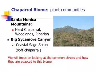
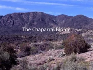
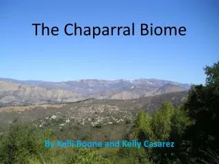
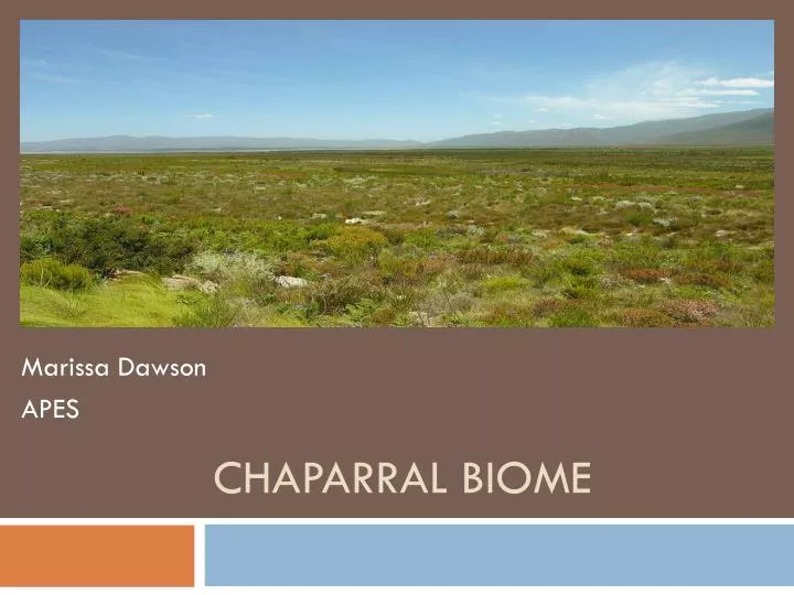
Chaparral Biome. Marissa Dawson APES. World Distribution. Major Characteristics. Avg. Chaparral Elevation Range: 500-9,000ft(dependent on type of chaparral) Geology: Flat Plains Rocky Hills Mountain Slopes Climate: Hot/Dry Mild/Moist Temperature Range: 30°-100° F/ Avg. Temp. 64°

E N D
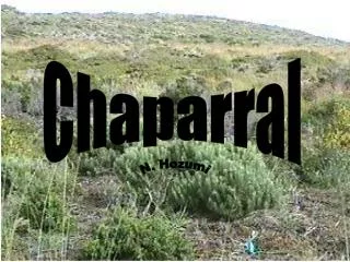
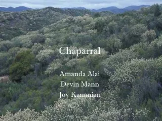
Chaparral Biome Marissa Dawson APES
Major Characteristics • Avg. Chaparral Elevation Range: • 500-9,000ft(dependent on type of chaparral) • Geology: • Flat Plains • Rocky Hills • Mountain Slopes • Climate: • Hot/Dry • Mild/Moist • Temperature Range: • 30°-100° F/ Avg. Temp. 64° • Rainfall/Snowfall: • 38-100cm/ N/A • Seasons: • During the summer, the chaparral is very dry and desert-like and temperatures can reach over 100° F ; conversely, during the winter, temperatures can drop below freezing and hard frosts hit the land. • Winds: • Low winds
Animals • Most of the animals found in the chaparral biome are only active at night. The animals are all mainly grassland and desert types adapted to hot, dry weather. • Some burrow underground to escape the heat in the day and come out at night to feed. This allows them to conserve water, energy and also keeps the animal safe during fires.
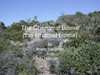
Plants • Plants in the chaparral can survive long periods of drought, heat and fire. They are similar to desert plants which can also withstand long periods without water. Some plants in the chaparral require fires in order to survive (chamisos). For most other plants in the area, fire is a positive in their life cycle.
Indigenous People • Ethnographic studies and other historical documents show that California Indians were responsible for extensive burning and type-conversion of chaparral and other shrub lands to grasslands in order to increase favored game species, protect themselves from predators,and as a tool of warfare.* • Ecosystems within the coastal region of Southern California were likely the most heavily impacted by Native American burning and may have ultimately set the stage for the successful spread of invasive European grasses in the early 1800's. Then Now
Threats to the Biome • The drastic change in temperature due to environmental factors (global warming) has caused plants/animals to die off-not being able to survive the heat and dryness. • Shortage of rain can cause natural fires to happen. • Chaparral biomes are very dry and can result in large fires, but a lot of these fires are cause by human activity in the area. • By working with partners on global and local levels, WWF aims to conserve many of the world’s most ecologically important regions.* • Conserving the biomes and creating laws against things such as deforestation can help solve some of the problem. • Chaparral tends to be populate with steep slopes that cause erosion, the runoff from these erosions can then affect nearby waterways. • The International Erosion Control Association (IECA) is the world's oldest and largest association devoted to helping members solve the problems caused by erosion and its byproduct-sediment. Erosion & Sedimentation Control Law • The Erosion & Sedimentation Control Law states that a person who conducts an activity involving filling, displacing or exposing earthen materials take measures to prevent unreasonable erosion of soil or sediment beyond the project site or into a protected natural resource. • Things such as erosion blankets could be used or built to help decrease the chance of erosion entering the nearby waterways and affecting our ecosystem as well as the biome.
Graphs/Additonal Information • This graph shows the temperature and rainfall for a year in a chaparral located in California.
Cont’d • This graph represents the chaparral wildlife area’s temp., rainfall, and dewpoint for 2002.
Cont’d • This graph represents the temp., humidity, solar radiation, precipitation, and barometric pressure at the Elliot Chaparral Reserve in California.
References CALIFORNIA CHAPARRAL INSTITUTE." Native American Burning. N.p., n.d. Web. 08 Oct. 2013. "Chaparral Climate." Chaparral Climate. N.p., n.d. Web. 08 Oct. 2013. "Chaparral Wildlife Area Weather Data." Chaparral Wildlife Area Weather Data. N.p., n.d. Web. 08 Oct. 2013.