Download
1 / 17
170 likes | 319 Views
Cow Creek Pre-Project & Post-Project Comparison Oct. 15, 2012. Oklahoma State University Stillwater, Oklahoma. Before. After.

E N D
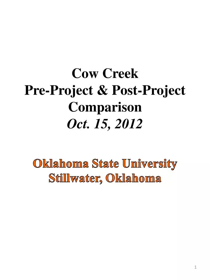
Cow Creek Pre-Project & Post-Project Comparison Oct. 15, 2012 Oklahoma State UniversityStillwater, Oklahoma
Before After Comparison 1: Sta. 41+00, view upstream -- This is the upstream edge of the easement and the project boundary: the inner meander slope was excavated to lessen the slope and the outer meander slope was excavated to provide additional floodplain terrace at the projected 2-year storm event elevation.
After Before Comparison 2: Sta.39+00, view southern streambank --This is a section where the bank was built out from the existing steep slope (and the stream centerline shifted slightly north as a result) to create a less steep slope and provide a buffer to the Oklahoma A&M –era chimneys that are an attraction to visitors and a project goal to protect as existing infrastructure. In addition to the sloping on the inner meander as well as this portion of the streambank on the outer meander, there were in-stream rock structures added to the streambed to help divert energy off of this bank and back to the center of the stream.
2011 2006 2012 Comparison 3: Sta. 38+75, view South--This is a section containing a side inlet gully that carries substantial water to the stream. A permanent vegetated geotextile alternative was tried and failed, and so resorted to a traditional riprap solution in the end. Old bridge supports to the left (East) of the chimneys were victims of streambank erosion and failed into the stream between 2006 and 2011.
After Before Comparison 4: Sta. 37+75, view upstream -- Pedestrian bridge made safer to pedestrian and mower traffic, view of the chimneys shows the slight stream alignment shift when the outer meander slope was built out. A constructed rock riffle and several J-hooks located upstream of the bridge help to pull the energy off the outer meander and back to the center of the stream, away from the chimneys, and through the bridge.
Before After Comparison 5: Sta. 37+75, view downstream --The inner meander streambank to the left in the picture was graded to a shallower slope, starting at 2H:1V near the bridge and 5H:1V near the middle of the meander, back to 2H:1V near Sta. 31+25. The outer meander streambank to the right in the picture was modified to include 2 terraces and gentler slopes everywhere, with the exception of one particular research section with a 1H:1V slope, and the stream was shifted slightly inward to accommodate the new slopes. Every slope that was re-worked was seeded, covered with erosion control material, staked, and additional vegetation was planted through the matting to encourage faster growth and to accommodate plantings not easily grown from seed.
Before After Comparison 6: Sta. 38+50, viewsouthwest -- Floodwaters, previously confined to a channel with steep slopes, can now spread and dissipate energy over a greater cross-sectional area for the goal of less erosion to the streambank and streambed; eventually shrubs and trees and the diversity of vegetation will add to the roughness of the cross-section and further dissipate flood energy.
After Before Comparison 7: Sta. 40+25, view South -- Close-up view of the Eastern side of the white research building on the upper edge of the outer meander slope. The bank was built out from the edge of this building. Nearby trees were protected from removal and soil compaction during construction; the rock was added to discourage animals from living beneath the building.
Before After Comparison 8: Sta. 34+35, view west --Stormwater runoff was a known threat to the newly constructed slopes and a runoff channel was constructed with a storm drain inlet and grading to intercept runoff and encourage stormwater to enter the drain. Inlets to the storm drain pipe were also installed along the upper terrace above the 1:1 slope to minimize overflow down the banks and rill and gully erosion on the 1:1 slope. Intense rain events soon after construction caused rills and gullies to form on the new 1:1 and 3:1 slopes. The slopes were re-worked 3 different times to re-establish vegetation after intense rain events.
Before After Comparison 9: Sta. 34+25; view east --Trees failing into the stream channel from the steep eroding banks of pre-project conditions tended to lodge and cause large scour-holes as shown in the pre-project picture to the left. The banks, at right, in post-project condition have a greater capacity to carry flood flows and their associated debris with perhaps less injury to the existing banks. Should erosion occur the healthier native plant population will likely recruit new plants quickly and repair damage to the streambanks. Overall, it is expected the new geomorphology and ecosystem is more sustainable than the previous incised streambed and predominantly introduced vegetative species.
Before After Comparison 10: Sta. 34+20, view southeast along outer meander streambank -- This location was the most obvious marker of bank retreat as the Botanic Garden staff marked the streambank edge marching closer to the fence and utility pole over a series of years. Approximately 15 years since riprap was installed on the bankface, and an unknown period of years since the stream was ponded at the downstream highway, the geotechnically unstable bank progressively sloughed away. Construction built back an upland shelf of 20-ft at this point and then merged it back into the existing slope at Stations 31+50 and 37+70.
Before After Comparison 11: Sta. 34+00, view NNW -- Along the re-built upland shelf, a new OSU Botanic Garden trail was installed called the “Native Shrub Walk.” Educational signage along the route educates visitors about the project, the benefits of native plants compared to introduced plants, and the goal of pollinator conservation.
Before After Comparison 12: Sta. 30+25, view upstream, west -- The vegetation on the southern streambank was not modified, nor were the banks. On the north side of the channel, on the right side of the picture, the floodplain overflow channel was excavated. The streambank is the overflow outlet for this enhanced floodplain area, and it was re-vegetated in the same manner as all slopes in the project. Since the soils in this area were slightly less cohesive than most parts of the project, this area will be a focus of adaptive management and development of erosion control techniques.
Before After Comparison 13: Sta. 28+25, view SSE with utility pole visible in both pre-project and post-project pictures-- This area was another where the slope was built out away from infrastructure and the channel slightly shifted to the north. The soil erosion and sediment control material was installed during a moist-soil condition and thus, minimal undermining of the material from surface runoff occurred due to good soil contact and rapid vegetative growth.
Before After Comparison 14: Sta. 28+00, view NNE showing corner post of research soil pit fencing and the fence line extending northward to the upper part of the project -- The floodplain overflow channel and the wetland were located in a former pecan orchard as shown in the upper pre-project picture. The Eastern slope of the wetland is shown in the post-project picture with some of the wetland water and re-vegetated area visible.
Before After Comparison 15: Sta. 27+75, view SE -- This manicured area in pre-project conditions was disturbed due to the installation of the wetland inlet channel and will not be disturbed by mowing in the future. The black permanent erosion control blanket was more difficult to vegetate due to hot conditions, but will eventually be grown up in native vegetation including perennials forbs, shrubs, and trees.
Before After Comparison 16: Sta. 24+00, view NNW -- J-hooks and vanes were installed in the channel between the large project meander bend and the highway to induce high-energy flows off the outer bank and toward the center of the channel. The inner meander banks here and at Sta. 20+00 were also graded to less steep conditions and re-vegetated.