Download
1 / 24
240 likes | 396 Views
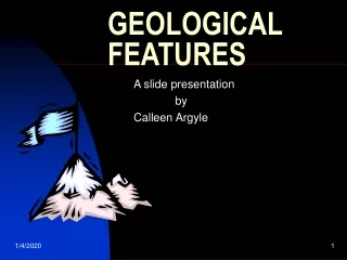
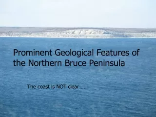
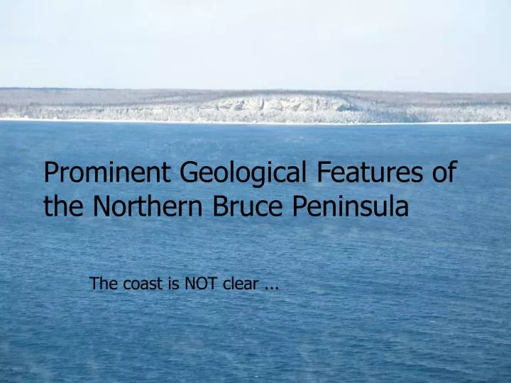
Prominent Geological Features of the Northern Bruce Peninsula. The coast is NOT clear. We looked at some of the inland geological features of the Lion’s Head Nature Reserve. Let’s do a quick review….

E N D
Prominent Geological Features of the Northern Bruce Peninsula The coast is NOT clear ...
We looked at some of the inland geological features of the Lion’s Head Nature Reserve. Let’s do a quick review….
The story begins 500 million years ago when the interior of North America was covered by a shallow tropical sea.
100 million years ago, during Dino time, the sea had evapourated and left the deposits of old shellfish and coral exposed. Since this time erosion from water is the strongest shaping force.
What it would look like during an Ice Age… Then 1.6 million years ago the Earth cooled and 2km thick ice sheets covered the Bruce.
Then they melted and retreated. The meltwater formed features like … a Pothole
Crevices and caves – created by dissolving action of surface waters
Drumlins Side and Map view
Karst is nature’s plumbing .. A myriad of “drains and pipes” in the rocks
Look carefully at the Peninsula’s bays and their orientation in this important geology paper on the “recent” reshaping of the Bruce Peninsula. Evidence for catastrophic subglacial meltwater sheetflood events on the Bruce Peninsula, Ontario P.S.G. Kor and D.W. Cowell
Please note and understand this content. Abstract: The Bruce Peninsula, a carbonate bedrock escarpment, lies “downflow” from a sculpted bedrock terrain at the French River. The sculpted forms are attributed to a hypothesis of erosion by regional-scale, subglacial meltwater flooding. This paper presents new data from the Bruce Peninsula that tests the meltwater outburst hypothesis in a downflow direction of the predicted flood path. The bedrock surface of the Bruce Peninsula shows extensive development of sculpted features that bear a striking resemblance to s-forms at the mouth of the French River. They are self-similar and hierarchical in scale, ranging in dimensions from a few centimetres to several kilometres. Remarkable concentrations of potholes are located near the brow of the escarpment. The Bruce Peninsula lacks a pervasive cover of unconsolidated sediment. What little sediment exists has been modified into long, narrow drumlins. The Niagara Escarpment on the peninsula has been back wasted into the edge of the Paleozoic Michigan Basin. Along its east-facing slope, the escarpment is marked by more overdeepened reentrant valleys and intervening promontories than is normal for the rest of the escarpment. Clusters of rounded, percussion-marked boulders of exotic origin are concentrated at the heads of the reentrant valleys. Taken together, these features are inferred to support the hypothesis that subglacial outburst floods beneath the Laurentide ice sheet crossed Georgian Bay and strongly sculpted the Bruce Peninsula. The consistent orientation of the reentrant valleys, aligned with the French River sculpting across the basin to the northeast, and the backwasting of its caprock attest to the power and directional stability of the sheetfloods.
Algonquin wave cut caves that were … Nipissing enlarged … huh?! Greig’s Cave, Cape Dundas
Caves showing the changing water levels in the post glacial period