Download
1 / 33
330 likes | 410 Views
Spatial Pattern of US Criteria Pollutant Emissions:. EPA’s 1996 U.S. Emissions Data. Part 1: Background Data Manipulation Steps. Get, File, and Interpret Data. Find data – EPA website – 3 relevant files for criteria pollutants http://www.epa.gov/ttn/chief/net/index.html

E N D
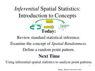
Spatial Pattern of US Criteria Pollutant Emissions: EPA’s 1996 U.S. Emissions Data
Get, File, and Interpret Data • Find data – EPA website – 3 relevant files for criteria pollutants http://www.epa.gov/ttn/chief/net/index.html • MS Access (final size 2GB) • Metadata – 1996 NATIONAL EMISSION TRENDS (NET) PC INVENTORY FILE FORMAT • Source Classification Code - Divisions • County Location
1996 NATIONAL EMISSION TRENDS (NET) PC INVENTORY FILE FORMAT POINT SOURCE Example etc.
Organizing Data • Relationships • continually designing – build on queries • one-to-many • Append Data • Reduce Data • Make Table
Reducing Data • Sum Pollutant by County, SCC-division • First Group By: location: [FIPSST] & [FIPSCNTY] • Then Group By: SCC_DIV • Take Sum: SO2_ANN
ArcView • Joined Data Tables with ArcView’s County Files • location code (connected to data) = FIPS code (connected to ‘shape file’ or pictorial representation of county) • Mapped Pollutants (emission tons per unit area of county
Maps • Pollutants: • SO2, VOC, NOx, PM-10 • Categories: • Total, Fuel Combustion, Industrial Processes, Transportation • Emission Unit: • Annual Tons/Sq.Mile by County
Industrial Emission Summary • identified major contributors to criteria pollutants • determined factors important in emissions estimates • showed spatial distribution of pollutants based on source category
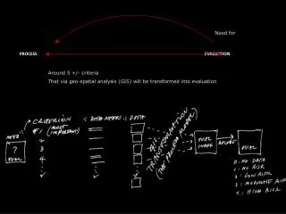
Future Analysis • Connecting sources to US location to develop a better “story” • Compare 1980 spatial distribution to 1996 – suggest CAUSALITIES • Look at time trends for annual emissions: comparison by source category, pollutant 1970-1998