Download
1 / 12
140 likes | 252 Views
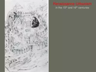
Presented By : Sanket Shah. New Urbanism – An Automated Approach. Table of Contents. Lavasa At A Glance Present Scenario Drawbacks – Present Scenario Survey Data Conversion Tool Conclusion Future Scope.

E N D
Presented By : Sanket Shah New Urbanism – An Automated Approach
Table of Contents Lavasa At A Glance Present Scenario Drawbacks – Present Scenario Survey Data Conversion Tool Conclusion Future Scope
Project Area Coordinates:Latitudes18 º 26’ 33’’ and 18 º 21’ 16’’ NorthLongitudes73 º 25’ 13’’ and 73 º 37’ 18’’ East Location: On the backwaters of Warasgaon dam on the Western Ghats between Pune and Mumbai. Lavasa At A Glance…
Lavasa – Free India’s Largest Hill Station 1st ‘Planned’ hill station, led by private sector after independence Development spans over 12,500 acres of picturesque landscape Concept of : Life in Full i.e. ‘Live , Work , Learn and Pay’ in harmony with nature 5
Lavasa – Free India’s Largest Hill Station Largest urban infrastructure project in India ; significant economic benefits to the region Master Plan prepared by HOK, USA Architectural Design sensitively integrated with natural environment Over 70% of the area would be kept green by landscaping, re-forestation, slope greening etc. A new tourist destination 6
Drawbacks – Present Scenario • Time to import CSV file to ACAD file • Data Inaccuracy – Digitization • SOLUTION : Automated tools were proposed to be developed with the help of ArcGIS desktop using VBA.
CONCLUSION *Taking CSV file for the 200 point features
Future Scope • Present tool – Limited to line features. • Propose successful conversion of polygon features • Propose to create an object oriented flexible toolset which will be used across the organization by everyone, thus decreasing the barriers between GIS and non GIS professionals in the organization.
THANK YOU • sanket.shah@lavasa.com