Download
1 / 14
140 likes | 150 Views
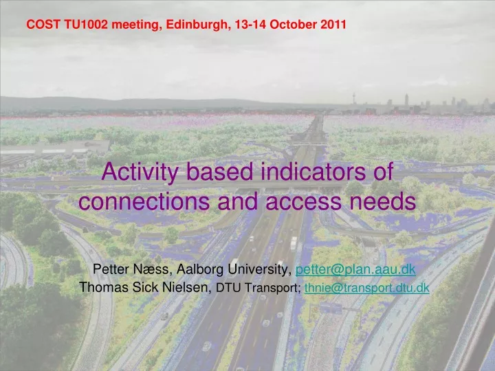
COST TU1002 meeting, Edinburgh, 13-14 October 2011. A ctivity based indicators of connections and access needs. Petter Næss, Aalborg University, petter@plan.aau.dk Thomas Sick Nielsen, DTU Transport; thnie@transport.dtu.dk. What is included?.

E N D
COST TU1002 meeting, Edinburgh, 13-14 October 2011 Activity based indicators of connections and access needs Petter Næss, Aalborg University, petter@plan.aau.dk Thomas Sick Nielsen, DTU Transport; thnie@transport.dtu.dk
What is included? • Analysis, and representation/visualization of regional structure and connections/ dependencies based on interaction data. • Usually this would be map based representations supported by interpretation.
What is the application? Part of the knowledge base for planning – especially at a large spatial scale. Highlights functional dependencies as basis for planning strategies in any municipality/place Knowledge input to the delineation of administrative regions or other focus areas. Appeal to policy makers as well as to the media. (may improve dissemination and participation in planning)
Examples History From ’coordinate method’ developed in 1940s - to cell phone data Maps of commuter flows in Denmark. Developed in research project but included in national spatial planning document Structural analysis of a polycentric urban region. Work commission by the ministry of the environment as input to planning process in the region. Extensions: activity field and municipal activity field Representation of activity dependencies in place.
History Desirelines mapped on photographic plate. ’Coordinate method’ Chicago Area Transportation Study, 1956 Cell phone activity in Washington DC on presedential inauguration day mapped by copmputer. Senseable cities lab, MIT 2009.
Commuterflow 1982, 1992, 2002 Under 1.000 1.001 - 2.000 2.001 - 5.000 5.001 - 10.000 10.001 - 20.000 20.001 - 50.000 Over 50.000 Motorvej Pendlere, der på grundlag af luftlinjer mellem bolig og arbejdsstedssogne passerer givne områder 1982 1992 2002
Activity fields measured by standard elipces Leisure Work Standard deviational elipces of activity destinations mapped for selected origons
Municipal activity fields General Work Leisure The activity fields are drawn to indicate the areas that contain the 75% and 95% of the activity destinations of the municipal population that are closest to home. Based on data from the National Transportation Survey v. DTU Transport, 2006-2009.
Questions: • How aresuchrepresentationsunderstood and used by planners and policymakers? • Can visualisation and analysisbeimproved in consultation with policy makers? • Addition, new forms of visualanalysis? • Whatwill the impactbe of new data sources? (tweets etc.)
My own preliminary ideas (not yet developed into a practical tool) • An index for accessibility from (potential) residential areas to jobs, local service and non-local service • Separate indexes for car, public transport and non-motorized modes • Based on previous qualitative and quantitative research on people’s rationales for choices of facilities for different kinds of activities • Also based on empirical data on the frequencies of participation in various out-of-home activities • Areas within different index value intervals can be shown on accessibility maps for different modes • Inspired by Silva, 2009 (and earlier accessibility tools such as the Norwegian ATP model) but aims to represent a further development
My own preliminary ideas (continued) • For most facility types, the index shows the number of facilities accessible within a given time interval, weighted by time-distance • Cutoff time intervals should depend on facility types, with the highest value for jobs (e.g. 60 minutes) and lower for service (e.g. 30 minutes for non-local service) • The weighting should be based on a curvilinear function (e.g. logarithmic or some hyperbola) reflecting empirically documented ‘distance decay’ in the use of facilities • Common cutoff value for car and mc, public transport and non-motorized travel • For local service, the index could be constructed based on a combination of the distance to the closest facility and the number of facilities available at different time-distances within a cutoff value. • For non-local service, a subdivision could be made between shopping (except daily necessities) and other services (including restaurants, culture, entertainment etc.)
My own preliminary ideas (continued) • The accessibility function within each category could in principle be expressed like this (the example applies to accessibility to jobs): where d = the distance from the dwelling to a workplace, measured in minutes, and n = the number of workplaces at this distance. The function should not necessarily be a log function, it may also be a different non-linear function. • The partial index for each of the local service categories included in the index could then be expressed as and the combined index for local services could be expressed as • A total accessibility index for daily and weekly trip destinations could then, after each of the sub-indices included had been standardized as z-scores, be expressed as where f is, respectively, the mean number of weekly visits to workplaces, non-local service facilities and local service facilities.