Download
1 / 21
210 likes | 344 Views
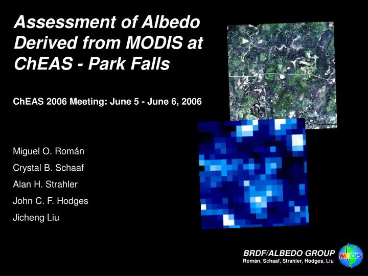
Assessment of Albedo Derived from MODIS at ChEAS - Park Falls ChEAS 2006 Meeting: June 5 - June 6, 2006 Miguel O. Román Crystal B. Schaaf Alan H. Strahler John C. F. Hodges Jicheng Liu. Background. MCD43 Albedo: Overview and Applications Measuring Ground-Truth Albedo

E N D
Assessment of Albedo Derived from MODIS at ChEAS - Park Falls ChEAS 2006 Meeting: June 5 - June 6, 2006 Miguel O. Román Crystal B. Schaaf Alan H. Strahler John C. F. Hodges Jicheng Liu
Background • MCD43 Albedo: Overview and Applications • Measuring Ground-Truth Albedo • Calculating MODIS-Derived Albedos • V005 Product Assessment at ChEAS (2005) • Upscaling Methods • MODIS ASCII Subsets
Albedo of Sahara The variation across the land’s surface affects how much solar radiation is absorbed and how much is reflected back up into the overlying atmosphere. This image was produced using 1-km RGB composites over a 16-day period, from April 7-22, 2002.
MODIS BRDF/Albedo Applications • “Correction” of observations for directional effects • Nadir BRDF-Adjusted Reflectance (NBAR) standardizes reflectance to a specific view and illumination geometry—solar noon, at nadir. • Global mapping of surface albedo applications: • Parameterize global climate and biogeochemical models. • Initialize numerical weather prediction and mesoscale models. • Quantify the surface background for cloud studies. • Characterization of surface scattering behavior • Non-Lambertian surface BRDF effects. • Quantify the surface anisotropy . • Identification of surface changes.
Measuring Albedo Albedometer: • Combines two pyranometers, one facing upward and one facing downward. • The upward facing pyranometer measures global radiation (diffuse and direct solar radiation). An albedometer measuring frost flowers on young ice • The downward facing pyranometer measures reflected solar radiation. • Albedo can be calculated from the output data. Short-wave net radiation (0.3-3.0um) can also be calculated.
Calculating Albedo • Actual albedo is a function of wavelength, illumination angles, atmosphere (aerosols) and surface characteristics: Eirradiance (λ) = Eabsorb (λ) + Etransmitted (λ) + Ereflected (λ) where, Transmittance = E transmitted/ Eirradiance Absorptance = Eabsorb/Eirradiance • Albedo represents the Hemispherical Reflectance: Albedo = Ereflected/Eirradiance • Directional hemispherical albedo reflectance and bihemis-pherical albedo under completely isotropic radiation are intrinsic characteristics of the surface. • We can obtain an actual albedo as measured by an albedometer by combining these two intrinsic quantities as a function of the atmospheric optical depth and accounting for multiple scattering effects.
Calculating MODIS-Derived Albedo • Albedos are produced from MODIS-derived BRDF models. • The BRDF model requires multi-date, multi-spectral, cloud-free, surface reflectances to capture anisotropy across viewing/ illumination geometry. • BRDF model parameters are retrieved — the linear combination of a constant (fiso ) and two weighted (fvol, fgeo ) trigonometric functions (kvol, kgeo ) derived from physical models of volumetric and geometric-optical surface scattering that best fit the data: • Full model inversions are used when sufficient high quality atmospherically-corrected cloud-free observations are available over a 16-day period to adequately sample the BRDF. • Otherwise, lower quality magnitude inversions are performed which couple a priori knowledge of the surface anisotropy with any high quality MODIS observations that are available for a location.
Validation: ARM-SGP Extended Facility #15 2003 Time Series • We make retrievals every 8 days (based on the last 16 days) to increase the possibility of obtaining high quality results. • We will tap into the time sequences of measured surface albedo for the WLEF-ChEAS site and compare those with MODIS-based estimates.
Combined Aqua + Terra Processing • Combining observations from Aqua and Terra • Increases high-quality inversions • Best fit BRDF model retrieved directly from observations. • Fewer lower-quality retrievals using the back-up algorithm • Back-up method relies on a priori designation of BRDF. • Combined Aqua+Terra V004 reprocessing complete • V005 – MCD43 500-meter product (Terra alone prior to May 2002)
Shortwave White-Sky Albedo (0.3-5.0mm)August 5th, 2005 (2005210) Terra-only Aqua plus Terra 0.000 0.382
Green Best Quality – Full BRDF-Inversions Red Moderate Quality – Magnitude Inversions White No Data (Fill Value) Mandatory QA (0.3-5.0mm)August 5th, 2005 (2005210) Terra-only Aqua plus Terra
White Sky Albedo – True Color (RGB) August 13th, 2005 (2005225) V004 MOD43B3 (1km) V005 MCD43A3 (500m)
Upscaling Efforts Ground measurements are used to ‘‘calibrate’’ the products from high-resolution imagery, which are then aggregated to the MODIS resolutions.
Chequamegon Ecosystem-Atmosphere Study (ChEAS) QuickBird panchromatic (0.6m) scene of Park Falls tower site (Sinusoidal Projection) QuickBird panchromatic (0.6m) scene of Park Falls tower site (UTM Projection)
Upscaling Efforts Upscaling Methods • We cannot compare ground point measurements to MODIS pixel values because of the scale mismatch. • Unless the surface is large and perfectly homogeneous, or a sufficient number of point measurements can be made during the satellite overpass, “point” measurements may not be sufficient to validate MODIS products if direct comparison is employed.
Main Lesson: Upscaling from ground point measurements to the MODIS resolutions using high resolution remotely sensed imagery is a necessary and critical step.
Shortwave Broadband Black-Sky Albedo Shortwave Broadband White-Sky Albedo Shortwave Broadband Blue-Sky (Actual) Albedo Red Average of Pixels in 7x7 Grid having Valid Data Blue Every Pixel having Acceptable Quality Green Percent of Pixels having Acceptable Quality MODIS ASCII Subsets: Data Visualization