Download
1 / 19
190 likes | 194 Views
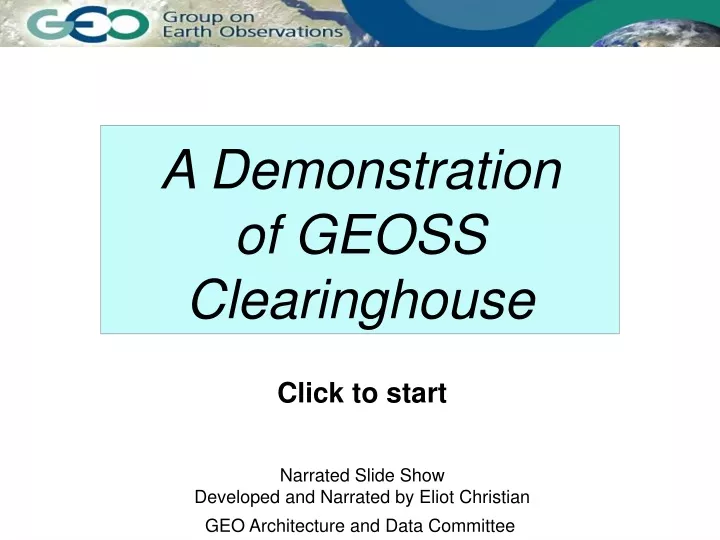
This narrated slide show demonstrates the capabilities and benefits of the GEOSS Clearinghouse in accessing, evaluating, and using a wide range of geospatial data and information for disasters. The demonstration showcases interoperability, examples of geospatial information, existing international standards, and low barriers for participation.

E N D
A Demonstration of GEOSS Clearinghouse Click to startNarrated Slide ShowDeveloped and Narrated by Eliot Christian GEO Architecture and Data Committee
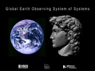
Information for Disasters A Demonstration of GEOSS Clearinghouse
Information for Disasters GEOSS Clearinghouse Demonstration
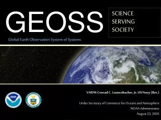
Group on Earth Observations GEOSS GEOSS Vision Earth observations • Coordinated • Comprehensive • Sustained GEOSS Clearinghouse Demonstration
Interoperability within GEOSS Group on Earth Observations GEOSS Clearinghousehelps users • discover • evaluate • use the broadest range of data and information GEOSS: contributed systems within their own mandates Shared information • Accessible • Comparable • Understandable GEOSS Clearinghouse Demonstration
Finding Geospatial Information GEOSS Clearinghouse Demonstration
Example: Google Earth GEOSS Clearinghouse Demonstration
Example: GEO Connections GEOSS Clearinghouse Demonstration
Example: GeoNetwork United Nations Spatial Data Infrastructure (UNSDI) ... existing international standards GEOSS Clearinghouse Demonstration
http://wms.i3.com/wms/wms24bitdemo?version=1.1.0&request=GetMap&format=jpeg&srs=EPSG:26913&bbox=303277,4376787,300277,4382787&width=1000&height=500&layers=BLM100KHILLSHADE&http://wms.i3.com/wms/wms24bitdemo?version=1.1.0&request=GetMap&format=jpeg&srs=EPSG:26913&bbox=303277,4376787,300277,4382787&width=1000&height=500&layers=BLM100KHILLSHADE& http://wms.i3.com/wms/wms24bitdemo?version=1.1.1&request=getMap&srs=EPSG:26913&bBox=303277,4377787,300277,4381787&width=1000&height=500&&layers=DOQQCOL& format = image/jpeg layers=UA_Ortho_Washington01 bBox = 77.02,33.885,-77.01,38.895 width=1000&height=500 request = getMap Standards: Web Map Service (ISO 19128) http://gisdata.usgs.net/servlet/com.esri.wms.Esrimap?servicename=133urban&version=1.1.1&request=getMap&srs=EPSG:4326&width=1000&height=500&format=image/jpeg&bBox=-77.02,38.885,-77.01,38.895&layers=UA_ORTHO_Washington01& GEOSS Clearinghouse Demonstration
Standards: Geographic Information - Metadata (ISO 19115) descriptive information about data: "metadata" ISO 19115 characteristics needed to discover, evaluate, and use geospatial data GEOSS Clearinghouse Demonstration
latitude, longitude boundaries terms, etc. Standards: Information Search and Retrieval (ISO 23950) http://www.search.gov/gsdi/sru2kml.php? operation=searchRetrieve&version=1.1& maximumRecords=100&recordSchema=XML& query=(geo.bounds within/partial/nwse "43.772 -101.411 31.7723 -77.7499") and(geo.keywords any "biologic ecologic") Information Search and Retrieval ISO 23950 GEOSS Clearinghouse Demonstration
Reducing the effects of disasters Energy resources Environmental factors in human health Weather forecasting Climate Change Water Resources Sustainable Agriculture Protecting ecosystems Conserving biodiversity GEOSS Societal Benefit Areas GEOSS Clearinghouse Demonstration
Center for International Earth Science Information Network (CIESIN) Content GEOSS Clearinghouse Demonstration
Global Change Master Directory (GCMD) GEOSS Clearinghouse Demonstration
Global Spatial Data Infrastructure Key Standards: ISO 19128 Web Map Service ISO 19115 Geographic Information - Metadata ISO 23950 Information Search and Retrieval GEOSS Clearinghouse Demonstration
Low Barriers to Participate in Clearinghouse basic PC's with Internet access open source, freeware, or commercial software sharing arrangements available if necessary Many servers are maintained by developing nations GEOSS Clearinghouse Demonstration
Summary • Practical application of GEOSS Clearinghouse • International standards for discovery, evaluation, and use of data and information • Interoperable catalogs already offering a wealth of GEOSS data and information • GEOSS Clearinghouse services supported by developing nations and implemented with open source technology GEOSS Clearinghouse Demonstration
References and Further Information GEOSS Clearinghouse Demonstration