Download
1 / 15
150 likes | 156 Views
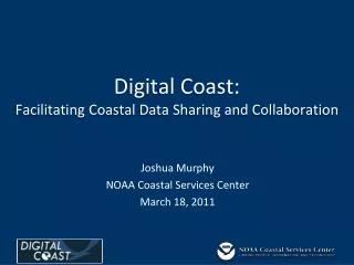
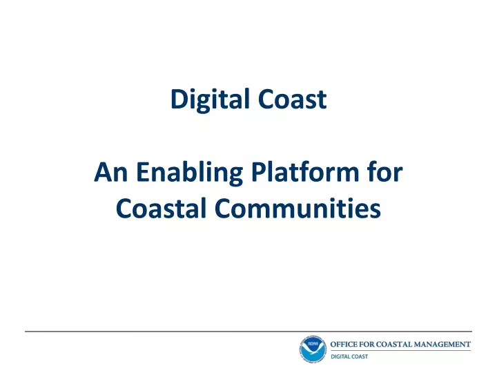
Digital Coast is an integrated platform that supports coastal resource management by bringing together the geospatial and coastal management communities. It addresses barriers like data availability, integration, and accessibility with constituent-driven solutions. The platform offers a wide range of tools, training courses, and data sets to facilitate decision-making and planning in coastal areas.

E N D
Coastal Populations U.S. Coastal Watershed Counties: < 20 percent of total land area 52 percent of total population
Coastal Economies In 2011, the economy of U.S. coastal shoreline counties produced 51 million jobs and $6.6 trillion in GDP
Barriers • Coastal data availability • Data integration and accessibility • Intergovernmental coordination • Non-techie tools • Relevant training • Outreach and awareness
Approach: Bring the geospatial and coastal management communities together Outcome: A constituent-driven, integrated, enabling platform supporting coastal resource management that is used Digital Coast
American Planning Association Association of State Floodplain Managers Coastal States Organization National Association of Counties National Estuarine Research Reserve Association National States Geographic Information Council The Nature Conservancy Urban Land Institute NOAA Office for Coastal Management Digital Coast Partnership
A Sampling of Our Contributors Federal • NOAA • U.S. Army Corps of Engineers • U.S. Geological Survey State • Mississippi State Coordinating Council for Remote Sensing and GIS • Maryland Department of Natural Resources Academic • University of South Carolina • University of Hawaii Nongovernmental • Resources for the Future • Management Association for Private Photogrammetric Surveyors Private • Dewberry • FugroEarthData • PhotoScience • The Baldwin Group • Woolpert
Over 65 terabytes of high-resolution elevation data, land cover data, and orthoimagery 200-plus Web-mapping services Linkages to over 40 national-level coastal data sets Digital Coast Data
An inventory of over 50 decision-support and information visualization tools Many provide visualization and analysis capabilities without the need for GIS software Digital Coast Tools Sea Level Rise Viewer Coastal County Snapshots Coastal County Snapshots CanVis
22 training courses, including many Web-based options An archive of recorded webinars highlighting Digital Coast tools and data Digital Coast Training
Stories from the Field • Over 100 place-based narratives highlighting the application of Digital Coast resources to coastal management issues • Focus on partners and outcomes
Comprehensive information resources providing context and direction to facilitate use and application Climate Adaptation Topics Water Quality Green Infrastructure
Digital Coast - An Enabling PlatformFacilitating Use and Application MAP Develop mash-ups with ESRI and OGC map services DISCOVER Information on the C-CAP land cover data set on the Digital Coast website DOWNLOAD Land cover data for your community via the Data Access Viewer SHARE Outcomes with others though Stories in the Field ANALYZE Change in your county with the Land Cover Atlas LEARN From data experts through recorded webinars INFORMATION DATA ACTION
Demonstrating Value to the Nation Net present value through FY28 will be $ 117.4 million 411 percentreturn on investment Benefits will be 5.1 times the amount of costs FY16 annual benefit projection of $7.42 million
Connect with the Digital Coast www.coast.noaa.gov/DigitalCoast Coastal.Info@noaa.gov www.facebook.com/NOAADigitalCoast @NOAADigCoast