Download

1 / 40
400 likes | 542 Views
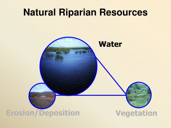
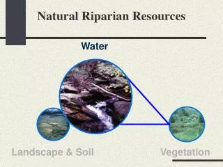
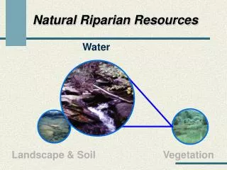
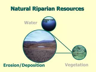
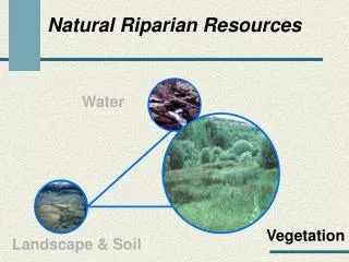
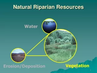
Natural Riparian Resources. Water. Vegetation. Landscape/Soil. King Hill Creek. Clover Creek. Mill Creek. Boulder Creek. Harney Lake. Wetted Soil. Russell Bar Salmon River. Aerobic vs. Anaeobic. Boulder Creek. Standard Checklist (lotic).

E N D
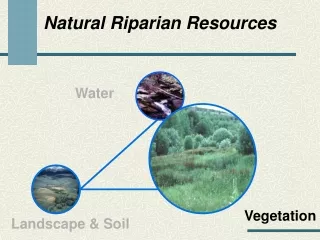
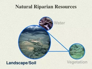
Natural Riparian Resources Water Vegetation Landscape/Soil
Russell Bar Salmon River
Aerobic vs. Anaeobic
13) Floodplain and channel characteristics (i.e. rocks, overflow channels, coarse and/or large woody material are adequate to dissipate energy • Purpose: To determine if the floodplain is adequate to dissipate energy on systems that should have a floodplain… • …or if the channel characteristics are adequate on systems that dissipate energy within the channel and/or overflow channels (do not and won’t have a floodplain). • Appropriate channel size and shape • Fully developed floodplain • Adequate roughness in the channel • Relates to items 1 and 3
Is the floodplain fully developed (see question 1)? • Is there sufficient overflow channels, vegetation, rock, and woody debris to handle high flows without degrading? • Is the sinuosity and width/depth ratio appropriate for the site (see Question 3)?
Yes, channel characteristics are adequately dissipating energy (B2 channel)
Yes, channel is dissipating energy both in the channel and with a floodplain
No, stream needs a floodplain but has incised and abandoned it
No, stream needs a floodplain but has incised and abandoned it
Yes, floodplain is necessary, fully developed, and is currently being used!
14) Point bars are revegetating with riparian-wetland vegetation • Purpose: To determine if a common depositional feature of a stream (point bar) is being colonized with riparian-wetland vegetation. It is important that vegetation capture point bars to maintain width/depth ratios and allow the channel to evolve and become more efficient. • Applies only to stream types with point bars (some B and most C channels) – NA for others • Vegetation must be stabilizing species
Is there a distinct and relatively continuous line of stabilizing riparian vegetation on the point bar? • Is there sprout and/or young woody species on the point bar? • Is herbaceous stabilizing riparian species expanding?
Scour line or bankfull level • Is there a distinct and relatively continuous line of stabilizing riparian vegetation on the point bar? YES • Is there sprout and/or young woody species on the point bar? YES • Is herbaceous stabilizing riparian species expanding? YES • Do not expect that portion of the bar within the bankfull channel to revegetate!
Yes, spikerush and coyote willow are colonizing the point bar
15) Lateral stream movement is associated with natural sinuosity • Purpose: To determine if lateral movement of the channel is normal or if it has been accelerated. Excessive lateral movement of the channel is indicative of an unstable channel. • For yes answers, look for indicators of normal movement such as a single thread channel, appropriate w/d ratios, stable streambanks (esp. on straight sub- reaches), no change in streambed elevation • For no answers, look for multiple thread channels, very high w/d ratios, unstable streambanks, aggrading streambed
No, lateral stream movement is not associated with natural sinuosity • Do the streambanks have an adequate amount of stabilizing vegetation (see Questions 9 & 11)? No • Is the channel widening? Yes, W/d ratio? Too High, Is the channel aggrading? Yes • Is the channel multi-thread (“D” channel type)? Yes • Is sinuosity appropriate for the valley type (see Question 3)? No
Lateral Stream Movement Natural? No Yes, (Reference Reach)
No, excessive lateral movement Yes, lateral movement associated with natural sinuosity
16) System is vertically stable • Purpose: To determine if channel lowering adjustments are occurring at a “natural” or accelerated rate. • Look for presence of a headcut(s) • Potential to move up through a wetland • Does not refer to aggradation • Many channels downcut in the past are generally vertically stable (some aren’t)
Is there a head cut capable of moving upstream within or below the reach? • Are there hydrologic modifiers such as abandon beaver dams, logs, or structures that have water moving under them? • Is sediment or debris accumulation causing the water to flow out of the channel?
Stream has incised in the past and can go deeper! • Is there a head cut capable of moving upstream within or below the reach? • Are there hydrologic modifiers such as abandon beaver dams, logs, or structures that have water moving under them? • Is sediment or debris accumulation causing the water to flow out of the channel?
Yes, channel is now vertically stable at a new base elevation
Yes, system is vertically stable – channel is now stable at a new base elevation although there is very little floodplain development
17) Stream is in balance with the water and sediment being supplied by the watershed (i.e., no excessive erosion or deposition) • Purpose: To determine if the stream is out of balance and degrading the riparian-wetland area. • Increases or decreases in water • Channel degradation • Sediment transport • Channel erosion
Water/Sediment Balance Rosgen, 1996
Is there evidence of increased water flow such as channel degradation or channel erosion (see Question 5)? • Are there mid-channel bars, sediment filled pools, sand/silt/clay channel bottoms (see question 3)? • Is there channel braiding? • Are streambanks stable (see Question 11)?
James Creek • Is there evidence of increased water flow such as channel degradation or channel erosion (see Question 5)? • Are there mid-channel bars, sediment filled pools, sand/silt/clay channel bottoms (see question 3)? • Is there channel braiding? • Are streambanks stable (see Question 11)?
Sand Creek • Is there evidence of increased water flow such as channel degradation or channel erosion (see Question 5)? • Are there mid-channel bars, sediment filled pools, sand/silt/clay channel bottoms (see question 3)? • Is there channel braiding? • Are streambanks stable (see Question 11)?