Download
1 / 19
200 likes | 358 Views
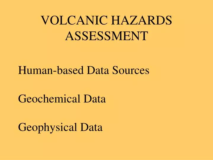
VOLCANIC HAZARDS ASSESSMENT. Human-based Data Sources Geochemical Data Geophysical Data. ACTIVE vs. EXTINCT VOLCANOES. Historians say: Active volcanoes are those that are erupting or showing some activity now.

E N D
VOLCANIC HAZARDS ASSESSMENT Human-based Data Sources Geochemical Data Geophysical Data
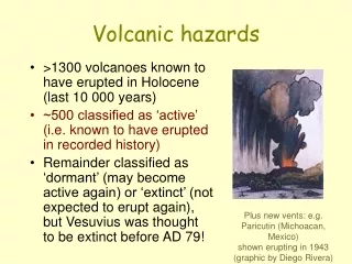
ACTIVE vs. EXTINCT VOLCANOES • Historians say: • Active volcanoes are those that are erupting or showing some activity now. • Volcanoes that have erupted historically, but are inactive at present, are Dormant. • Volcanoes that have had no activity in historical or archaeological time are Extinct.
ACTIVE vs. EXTINCT VOLCANOES • To geologists: • Active volcanoes have magma chambers • Extinct volcanoes have no magma left in chambers
HUMAN-BASED DATA • Historical Records • Archaeology • Oral Tradition • These can help extend the record back to a few thousand years
GEOCHEMICAL DATA • Radiometric Dates on Volcanic Materials- • Can extend dates back to millions of years • Give date of last eruption • Give repeat interval of past events • Show which types of volcanic products are expected
Geophysical Data are used to assess Present-day Risk • Is Magma Present? Determined by S-wave activity • Heat Flow, especially if increasing • Earthquake Patterns -shallow concentric patterns • Tilting or Bulge of Surface from GPS Data, Surveying, SAR Interferometry
Earthquakes In Iceland
Interferometry: Layering two Images of separate times on top of one another to measure vertical change Top: visual spectrum shows nothing new Bottom: Interferogram measures areas of differential change due to ground swelling upward. Maximum displacement is in center and pattern is concentric, suggesting a pending volcanic eruption
VOLCANOES IN THE US There are 33 active volcanoes in the US Most are at convergent plate boundaries in Alaska and N. California, Oregon, and Washington. These are all stratovolcanoes, which are the most dangerous in terms of explosive activity. Some are on or near hotspots: Hawaii’s volcanoes, and Yellowstone Some are former CPB: Central and Southern California The remainder are on a failed rift (former divergent plate boundary): Arizona, New Mexico
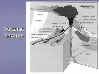
VOLCANIC HAZARDS • Lava flows • Pyroclastics • Gases • Heated air • Toxic components • Climate change • Lahars • Tsunamis • Earthquakes
GLOBAL COOLING DUE TO LARGE ERUPTION Ash injected into Stratosphere circulates around the world for up to 3 years
Lahar floods Armero, Colombiaafter eruption of Nevado del Ruiz
Krakatau, 1883 Lava and slope collapse produced a tsunami up to 40m high. -Killed 36,000 people in SE Asia -Effects of Tsunami felt 7000 miles away Ash and gases produced global cooling that lasted 3 years