Download
1 / 17
170 likes | 180 Views
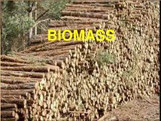
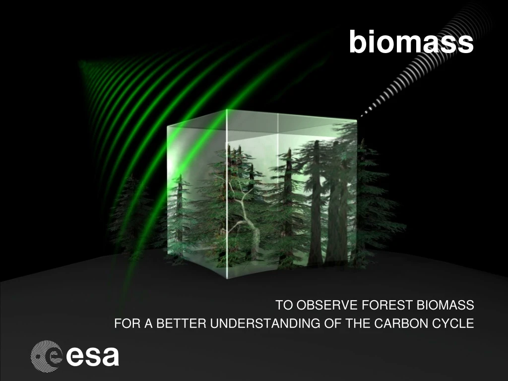
biomass. TO OBSERVE FOREST BIOMASS FOR A BETTER UNDERSTANDING OF THE CARBON CYCLE. The global carbon cycle. BIOMASS objectives and purpose.

E N D
biomass TO OBSERVE FOREST BIOMASS FOR A BETTER UNDERSTANDING OF THE CARBON CYCLE
BIOMASS objectives and purpose Objective of BIOMASS mission: to make accurate, frequent and global measurements of the distribution of forest biomass and its changesscales comparable with forest changes, and hence unprecedented information on status and dynamics of the Earth’s forests. Crucial for: • Quantifying land use change (emissions & uptake) • Scientific support for international treaties • Landscape scale carbon dynamics and prediction • Initialising and testing the land element of ESMs • Forest ecosystem services & biodiversity
Model + Satellite Interpolation Model Defries Interpolation44 Brown Brown and Lugo Olson Potter Carbon (tC/ha) Fearnside <= 100 101-150 151-171 176-200 201-225 226+ How well is biomass known? Land cover map Estimates oftotal biomass vary from 39 to 93 GtC
Tropical forest aboveground biomass maps Two recent maps of Amazonian biomass – radically different
Relation radar backscatter signal-above ground biomass at L, P, VHF bands Landes forest, France L-band SAR: RAMSES P-band SAR: AirSAR VHF SAR: Carabas
Observation concept – P-band satellite radar Calibration, Ionospheric correction Orbit cycle n Orbit cycle n+1 HH Polarimetric Interferometric Phase HV VV Phase Polarimetric radar intensity Retrieval algorithm Geophysical products • Forest biomass • Forest height • Forest biomass change • Forest disturbance
P-band forest height retrieval – tropical forest Mawas, Indonesia 50 40 30 20 10 0m
Forest biomass retrieval at P-band 150 Les Landes Estimated biomass (t/ha) RMSE = 9.46 t/ha 0 150 In situ biomass (t/ha) Biomass (t/ha) `300 Estimated biomass (t/ha) RMSE = 47.2 t/ha 0 `300 Remningstorp In situ biomass (t/ha)
40 30 20 10 0m Improving biomass retrieval using polarisation & height Biomass (t/ha) Polarised intensities only Intensity retrieval RMSE= 35.6 t/ha Intensity + height Height (m) Height retrieval RMSE= 16.3 t/ha
Current status • Report for Selection submitted, exception for performance chapter • Ministerial conference towards the end of 2012 • If (2) goes well, Consultation Meeting early 2013, selection within a couple of weeks • If (2) goes badly ....