Download
1 / 16
160 likes | 268 Views
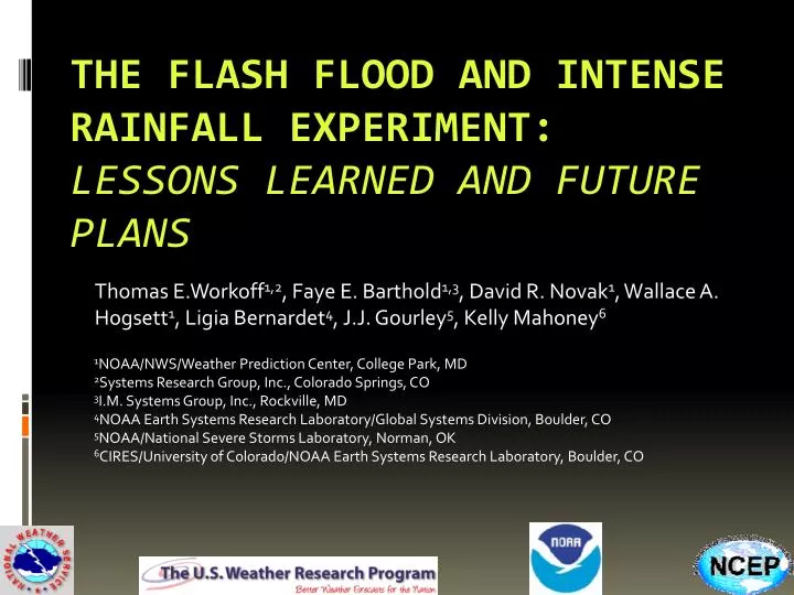
Thomas E.Workoff 1,2 , Faye E. Barthold 1,3 , David R. Novak 1 , Wallace A. Hogsett 1 , Ligia Bernardet 4 , J.J. Gourley 5 , Kelly Mahoney 6. 1 NOAA/NWS/Weather Prediction Center, College Park, MD 2 Systems Research Group, Inc., Colorado Springs, CO 3 I.M. Systems Group, Inc., Rockville, MD

E N D
Thomas E.Workoff1,2, Faye E. Barthold1,3, David R. Novak1, Wallace A. Hogsett1, Ligia Bernardet4, J.J. Gourley5, Kelly Mahoney6 1NOAA/NWS/Weather Prediction Center, College Park, MD 2Systems Research Group, Inc., Colorado Springs, CO 3I.M. Systems Group, Inc., Rockville, MD 4NOAA Earth Systems Research Laboratory/Global Systems Division, Boulder, CO 5NOAA/National Severe Storms Laboratory, Norman, OK 6CIRES/University of Colorado/NOAA Earth Systems Research Laboratory, Boulder, CO The Flash Flood and Intense Rainfall Experiment: Lessons Learned and Future Plans
When it Rains, it Pours… • According to NOAA, flooding results in ~$8 billion in damages and ~89 fatalities per year • WPC Excessive Rainfall Product • WPC MetWatch Desk • Responsibility for heavy rainfall mesoscale discussions transferred from SPC to WPC on 9 April 2013 • Mesoscale precipitation discussions • Event driven • Highlight where heavy rainfall may lead to flash flooding in the next 1-6 hours Boulder, 2013 Nashville, 2010
When it Rains, it Pours… • According to NOAA, flooding results in ~$8 billion in damages and ~89 fatalities per year • Excessive Rainfall Products • WPC MetWatch Desk
Flash Flood Forecasting: Challenges • The details of convection are hard to predict • Hires models do well in showing that convection is likely to happen • Struggle with the details • Timing, location, QPF amounts • Hydrologic response is also difficult • How will precipitation be received by the land surface? • Small scale, very sensitive to changes in space • As of now, Flash Flood Guidance (FFG) provides the best way to gauge hydrologic response
Flash Flood Forecasting: Challenges Need to explore techniques to improve short term QPF and flash flood forecasts • What to learn: • The value of hi-res deterministic guidance • The value of probabilistic guidance • Can hi-res ensemble probabilities be helpful in flash flood forecasting? • What needs to be done to maximize the effectiveness of the guidance? • The value hydrologic information • Are flash flood forecasts reliable in the 1-6 hour time frame? 3 hr FFG NSSL’s Flash East ARW
Developing Guidance:How Do we Maximize What we Have? • Use hi-res models to generate probabilistic information to assess flash flood threat Hi-res ensembles can provide a variety of solutions Max 3 hr QPF What if FFG is 2” in 3 hours? .78” 1.4” 2.4” 1.8” 2.3” 2.7” 2.8” 3.7” 4.3”
Developing Guidance:How Do we Maximize What we Have? • Use hi-res models to generate probabilistic information to assess flash flood threat • QPF Probabilities • Couple with FFG: QPF > FFG probabilities Hi-res ensembles can provide a variety of solutions Prob 3 hr QPF > 2” What if FFG is 2” in 3 hours? 0% 0% 57% 0% 42% 71% Is the threat really zero?? 85% 85% 100%
Developing Guidance:Neighborhood Maximum Probabilities • Probability of an event happening within a certain distance of a grid point 0% 0% 57% 0% 42% 71% Probability at this specific grid point 85% 85% 100%
Developing Guidance:Neighborhood Maximum Probabilities • Probability of an event happening within a certain distance of a grid point • Replace the value at a grid point with the maximum value within a radius (e.g. 40 km) 42% 0% 0% 29% 57% 71% 0% 85% 57% 42% 71% 85% Probability within this area 100% 85% 85% 85% 100% 100%
Developing Guidance:Neighborhood Maximum Probabilities • Probability of an event happening within a certain distance of a grid point • Replace the value at a grid point with the maximum value with a radius (e.g. 40 km) 3 hr QPF>FFG 09 UTC 40 km 3 hr QPF>FFG 09 UTC FFW 09 UTC
Flash Flood and Intense Rainfall Experiment (FFaIR): July 8 – 26, 2013 • 26 participants representing operations, research, and academia • 8 remote participants • Daily Activities • 12 hr probabilistic precipitation forecast (12 – 00 UTC) • Probability of exceeding 1” • 6 hr probabilistic flash flood forecast (18 – 00 UTC) • Prelim • Update • 12 hr probabilistic flash flood outlook forecast (00 – 12 UTC) • Subjective Evaluation
FFaIR: Testing and Evaluation • Created QPF exceedance N-hood max probabilities • Storm Scale Ensemble of Opportunity (SSEO) • Experimental Regional Ensemble Forecasting System (ExREF) • QPF > 1” & 3” • QPF > FFG a) SSEO QPF>FFG (point) b) SSEO QPF>FFG (20 km) c) SSEO QPF>FFG (40 km)
FFaIR: Subjective Results 20 km radius most effective for PQPF products, 40 km radius most effective for probability of flash flood (PFFF) products ~94% of Probabilistic Flash Flood (1-6 hr) and Outlook (12 hr) Forecasts were rated as either ‘fair’ or ‘good.’
Lessons Learned: Guidance • High resolution (convection-allowing) guidance can provide valuable information about the potential for flash flooding before event begins • Probabilities of QPF > FFG provide valuable forecast guidance • Neighborhood probabilities can be a particularly useful forecast tool – account for spatial uncertainty in both QPF and hydrologic response • Flash flood guidance is useful for assessing national vulnerability to flash flooding, but has limitations • Different methods used at different RFCs • Data latency due to varying issuance times • Multiple time periods – 1 hr, 3 hr, 6 hr • Complex terrain presents unique challenges Full report available at: http://www.wpc.ncep.noaa.gov/hmt/FFaIR_2013_final_report.pdf
Lessons Learned: Overall • Gap in understanding between the meteorological and hydrologic aspects of flash flood forecasting • Heavy rain ≠ flash flooding • Meteorological confidence ≠ hydrologic confidence • Slight spatial and temporal variations change antecedent conditions, basin response characteristics, etc. • Forecasters successfully able to identify regions with a flash flood threat 6 – 12 hours in advance Full report available at: http://www.wpc.ncep.noaa.gov/hmt/FFaIR_2013_final_report.pdf
Ongoing Work: 2014 FFaIR • We crawled. Now it’s time to walk. • Introduce upgrades to neighborhood probabilities • Reduce the data latency of FFG in QPF > FFG products 06 and 18 UTC cycles • Create exceedance ratios • QPF > .75 FFG • Customize SSEO • Add HRRR as a member(s) • Investigate use of other hi-res guidance • Continue to explore flash flood forecasting beyond the near-term 6 hour period • Explore changes to our Excessive Rainfall Product


![The LIFE LESSONS LEARNED FROM A DANDELION (7) [motive]](https://cdn1.slideserve.com/2228602/the-life-lessons-learned-from-a-dandelion-7-motive-dt.jpg)